Chapter 14 - Ashland to Timberline Lodge
I returned to the highway where I had ridden into town just as a storm started. Despite the dismal weather, I still ran into several dayhikers enjoying a trip to Pilot Rock. I needed to press on, however, as Hyatt Lake Resort, where I had sent one of my resupply boxes, was over 20 miles away and closed at 8 PM.
Pushing myself through a terrifying storm, as well as through fields that created micro-tears on my hands and legs, I made it to Hyatt Lake by 6:30, ecstatic to have made it in time. I ran into Sensei and Fluffy, who let me know the office was about a mile and a half away from the hiker’s campground, and ran to the office as fast as I could, only to find it had closed early that particular day.
I returned to camp, dejected, and did my best to warm up as the rain started up again and the temperature sank.
The store opened at 8 AM the next morning, which was usually a few hours after I had already started hiking, so I was waiting outside for quite some time. Eventually, however, one owner invited me in and brought out my box. She also offered to make me breakfast, which I gratefully accepted before heading out for the day.
The rain let up a bit, and reliable water sources were lacking for this next section. Constant droughts in southern Oregon had caused once reliable springs to dry up.
Climbing one of my last hills for the day, I spotted a familiar face hiking down to me. Magma and I hugged, both of us soaked and her exhausted beyond belief as she was trying to see how far she could hike if she hiked for 24 hours non-stop in a single day. She was already at mile 40 and would make it another 12 miles by the time her 24 hours were up.
She sat down and we briefly caught up, sharing plans for what we’d do once we returned to society, but she eventually needed to continue before the rain got worse. On the other side of the hill, I ran into her hiking group, also attempting this challenge. As we were traveling in different directions, the reunions with Cooking Mama and Ricochet were short, but sweet.
As the rain let up, I reached the South Brown Mountain shelter. Inside, however, quite a few hikers had already claimed most spots. The weather was improving, so I decided to set up my tent outside and made use of the fantastic water spigot in the shelter.
That evening brought a deluge, and I woke up several times to water splashing me awake. This wasn’t water leaking through my tent, but rather the rain becoming so heavy and humid that condensation built up on everything.
When the rain finally let up, it was morning, and I began to pack. I briefly opened my electronics dry bag, which had held up through the night. When I opened it, however, the condensation immediately built up inside and I was suddenly holding a bag full of water. The batteries I used to charge my phone and camera were completely waterlogged and the despair was palpable.
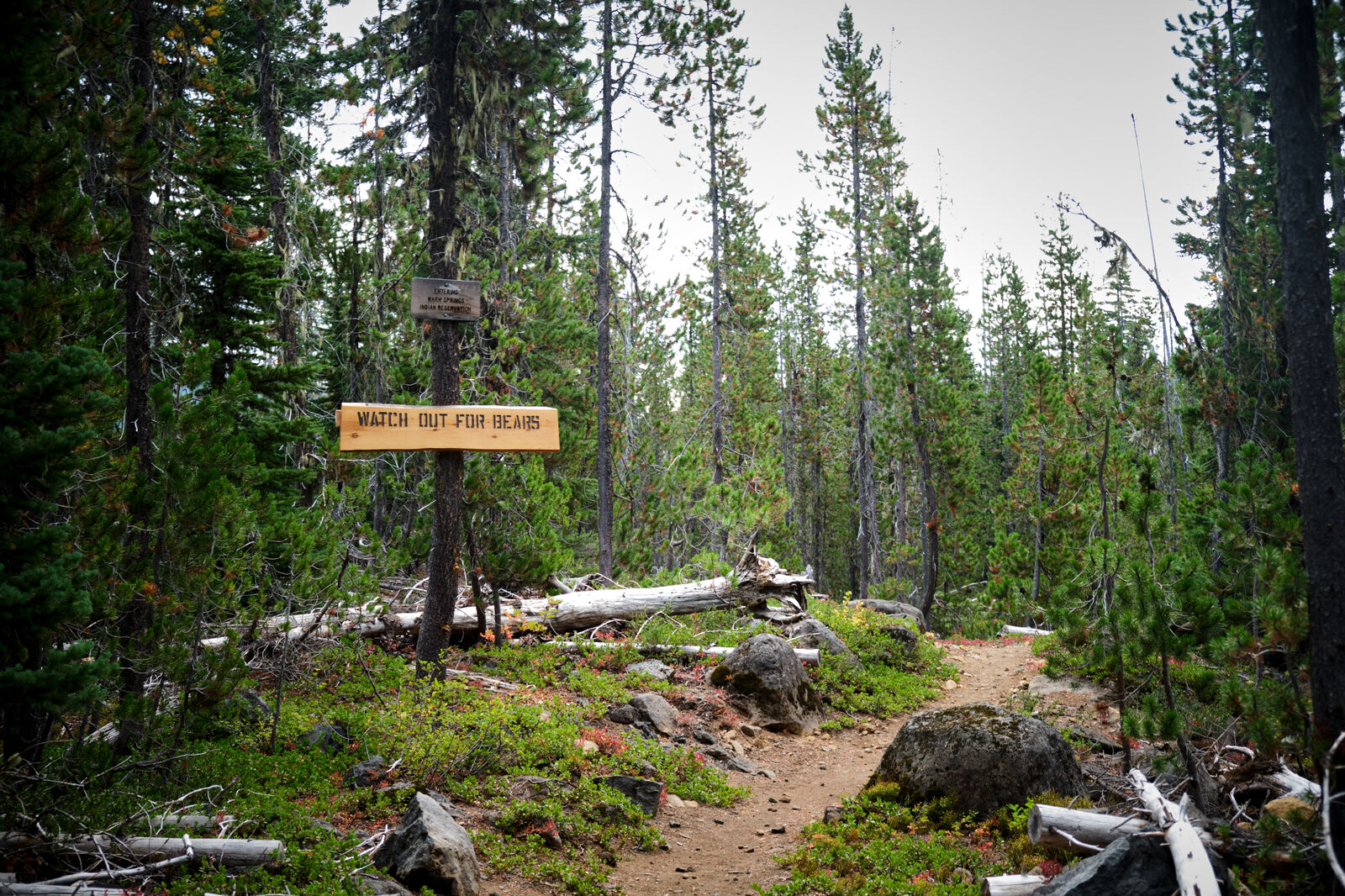
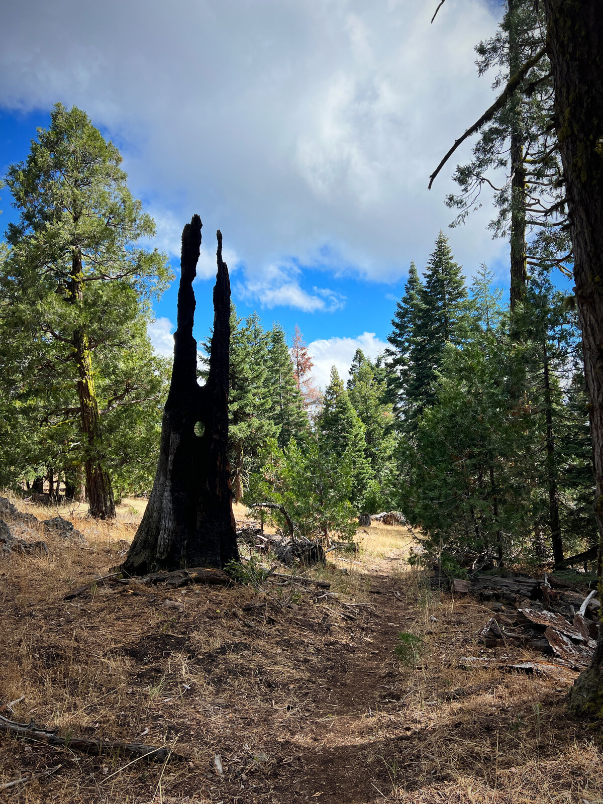
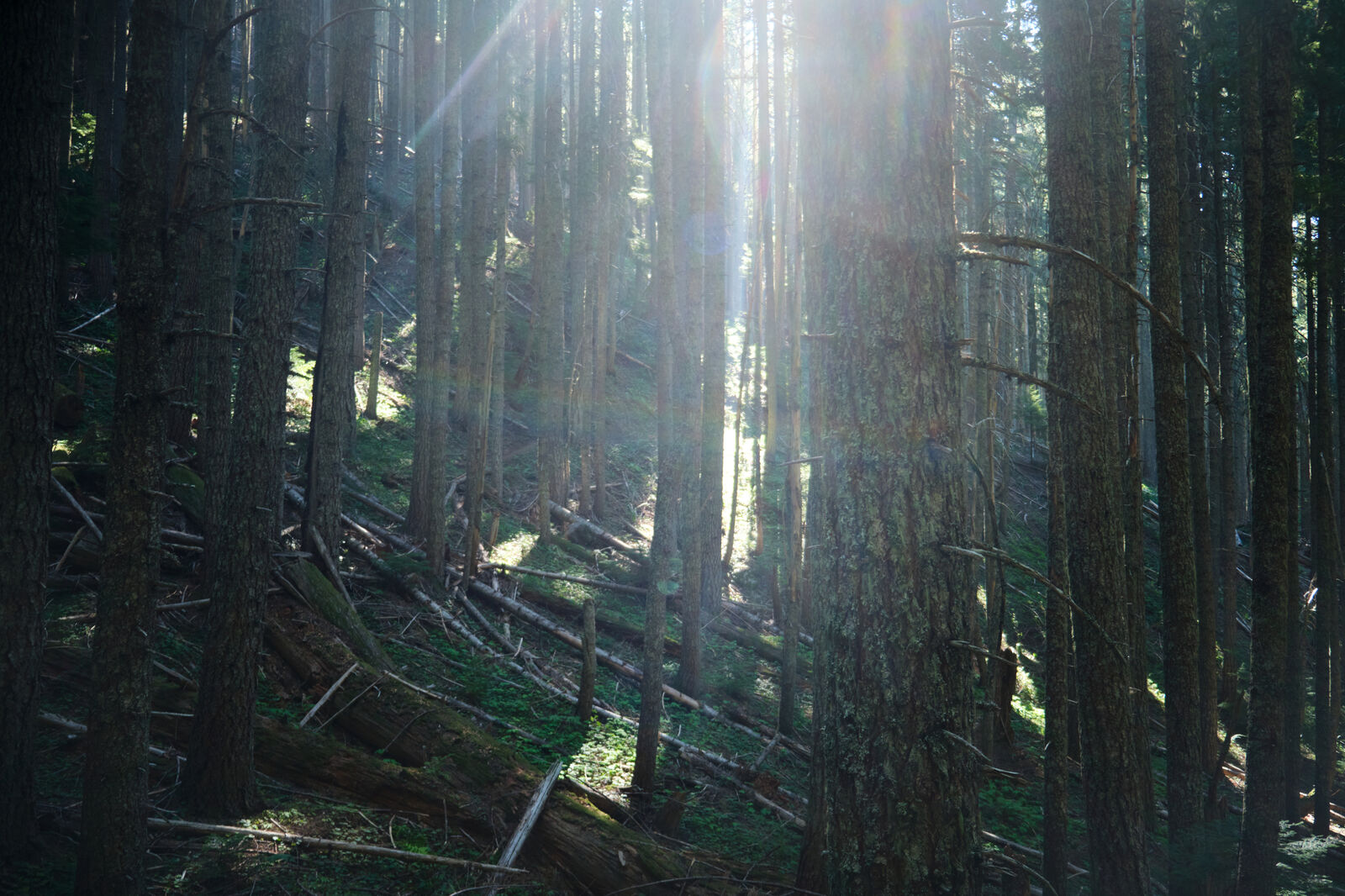
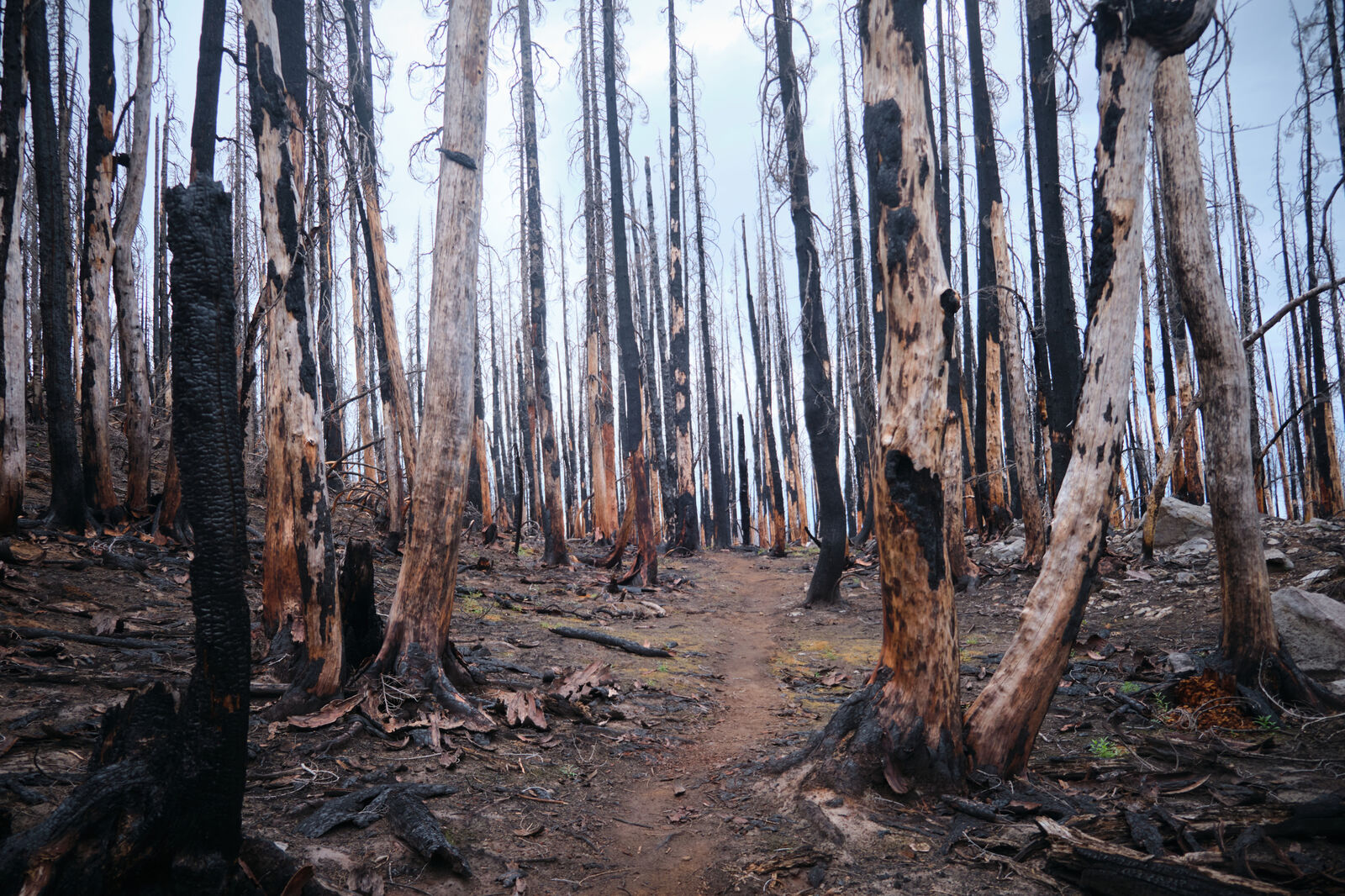
Shortly after leaving the shelter, the trail turned into the infamously painful lava rocks of central Oregon. I barely noticed, however, as I needed to figure out how to replace my battery banks. 10 miles later, I crossed Highway 140, which hikers normally ignored, as it was a long drive to Medford to the west and Klamath Falls to the east. There also was a resort nearby that hikers normally resupplied at, but it was closed at this point in the season.
Expecting nothing, I stuck out my thumb on the westbound side of the highway, doing my best to show how pathetic and soaked I was. Before too long, a woman picked me up on the condition that I’d monitor her puppies in the back seat. She drove me to Medford, where I was able to pick up new batteries and dispose of my old ones properly, and paid for a very expensive Lyft ride back to trail.

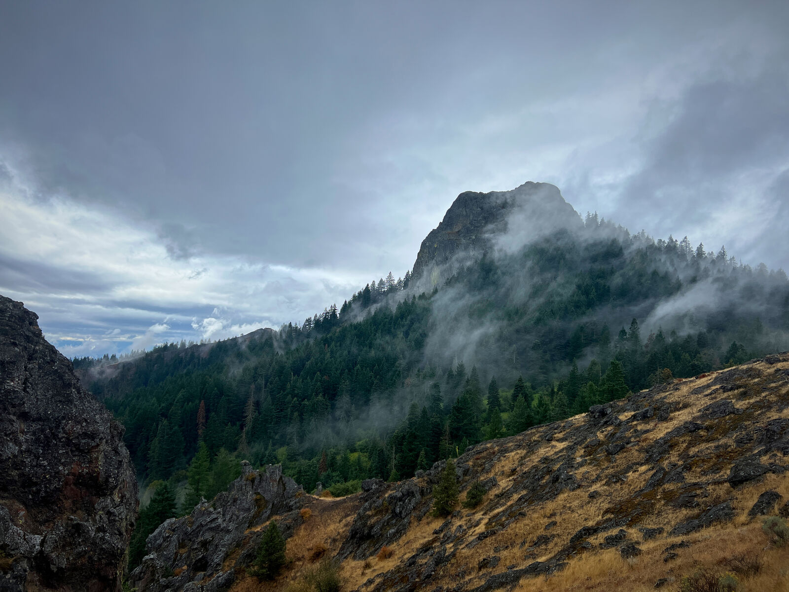
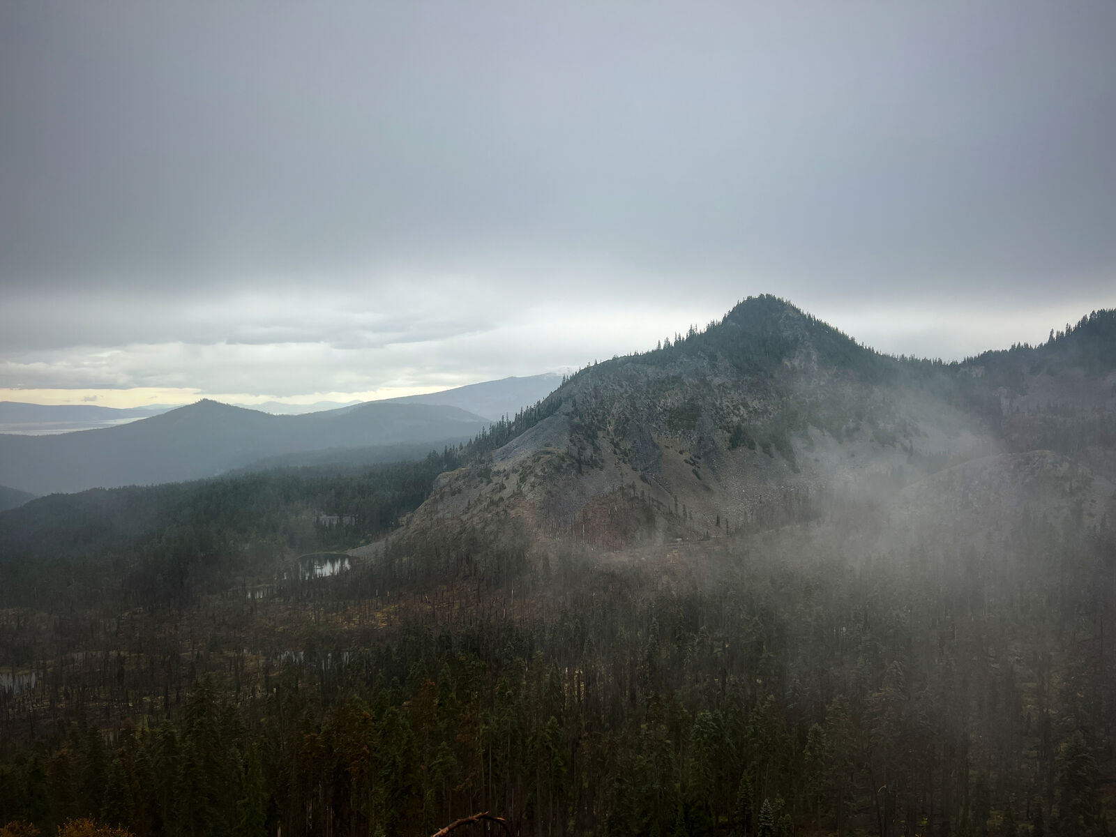
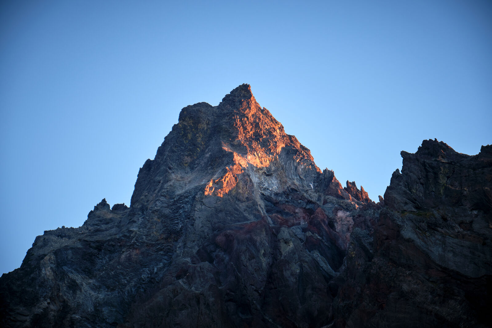
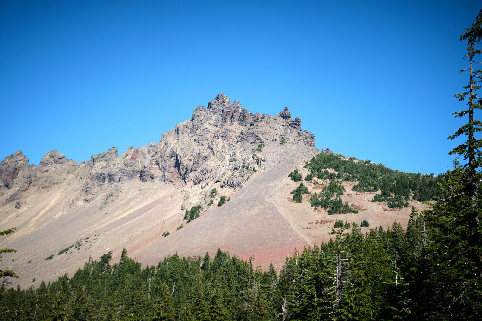
The climb up towards Mt. McLoughlin was enjoyable until the sky grew dark as I left tree cover. Extremely close lightning strikes sent me back down to the tree line. My map showed that the next few miles were at higher elevation, so I hunkered down until the storm weakened.
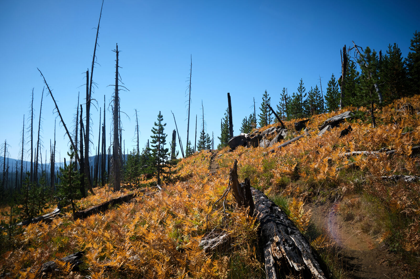
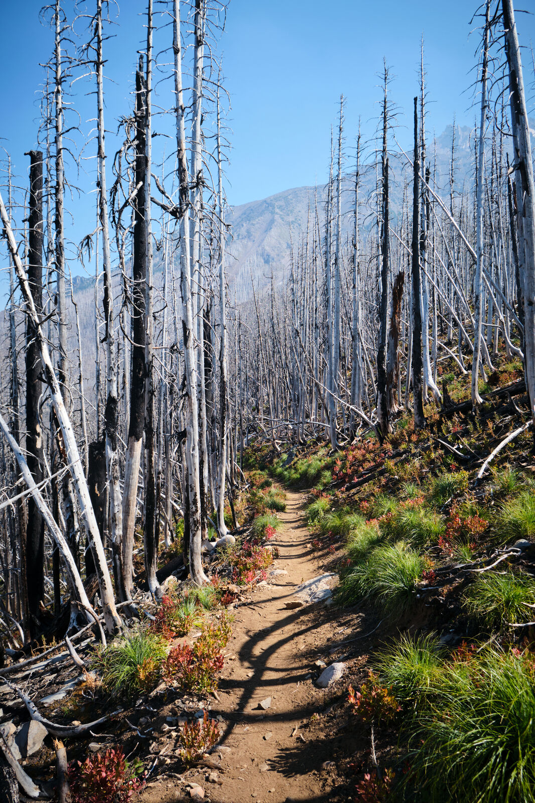
A hiker coming from the north spotted me and I waved back at him. I asked him if the next few miles were better sheltered than the trees I was in and he said that there was a brief mile-long gap that was exposed, but everything after that seemed much safer than where I was. I thanked him and continued, attempting to run past the exposed section as fast as possible. As I reached the end of that section, the storm came back with hail and lightning and I reached the “safer” section, only to realize that I was now in a burn, which was significantly less safe than where I was previously hiding out.
The next section on the map went up and over a peak and heading back through the exposed section was not an option, so I got as low as I could and waited out the worst of the storm. As the storm ended, I climbed back up to the trail and set up camp in the middle of the burn, with too little energy to worry anymore.
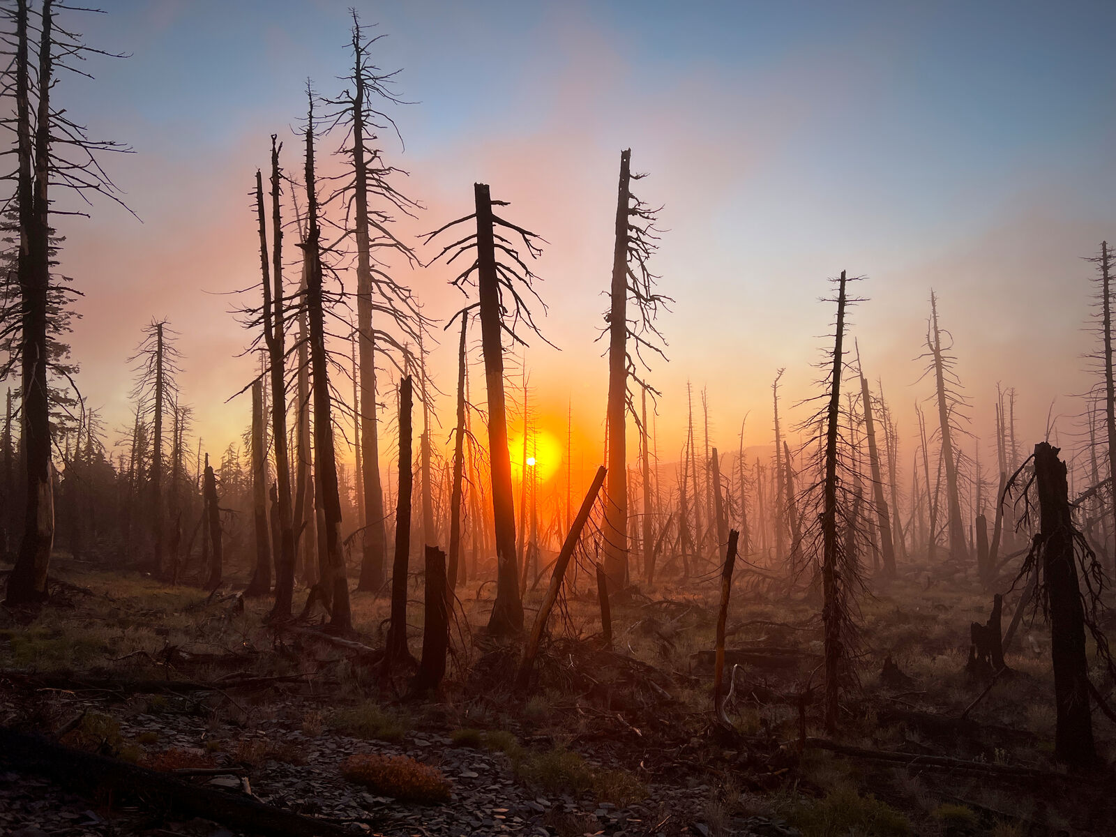
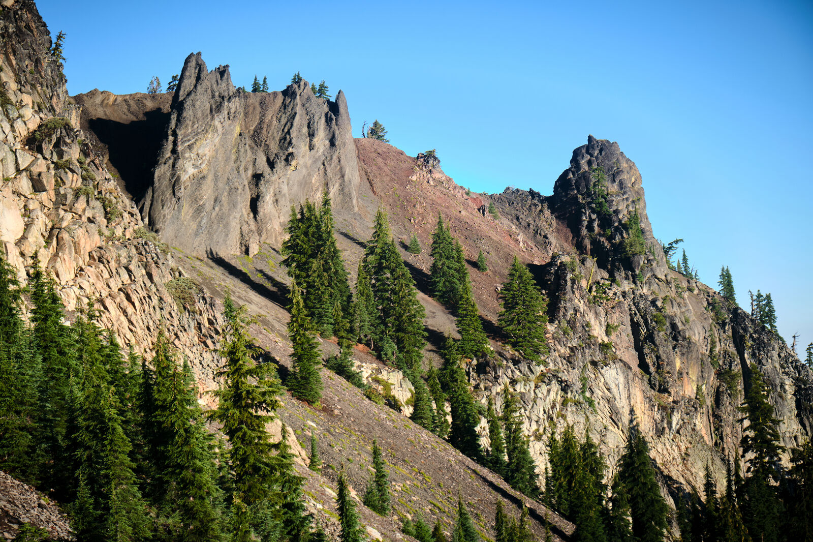
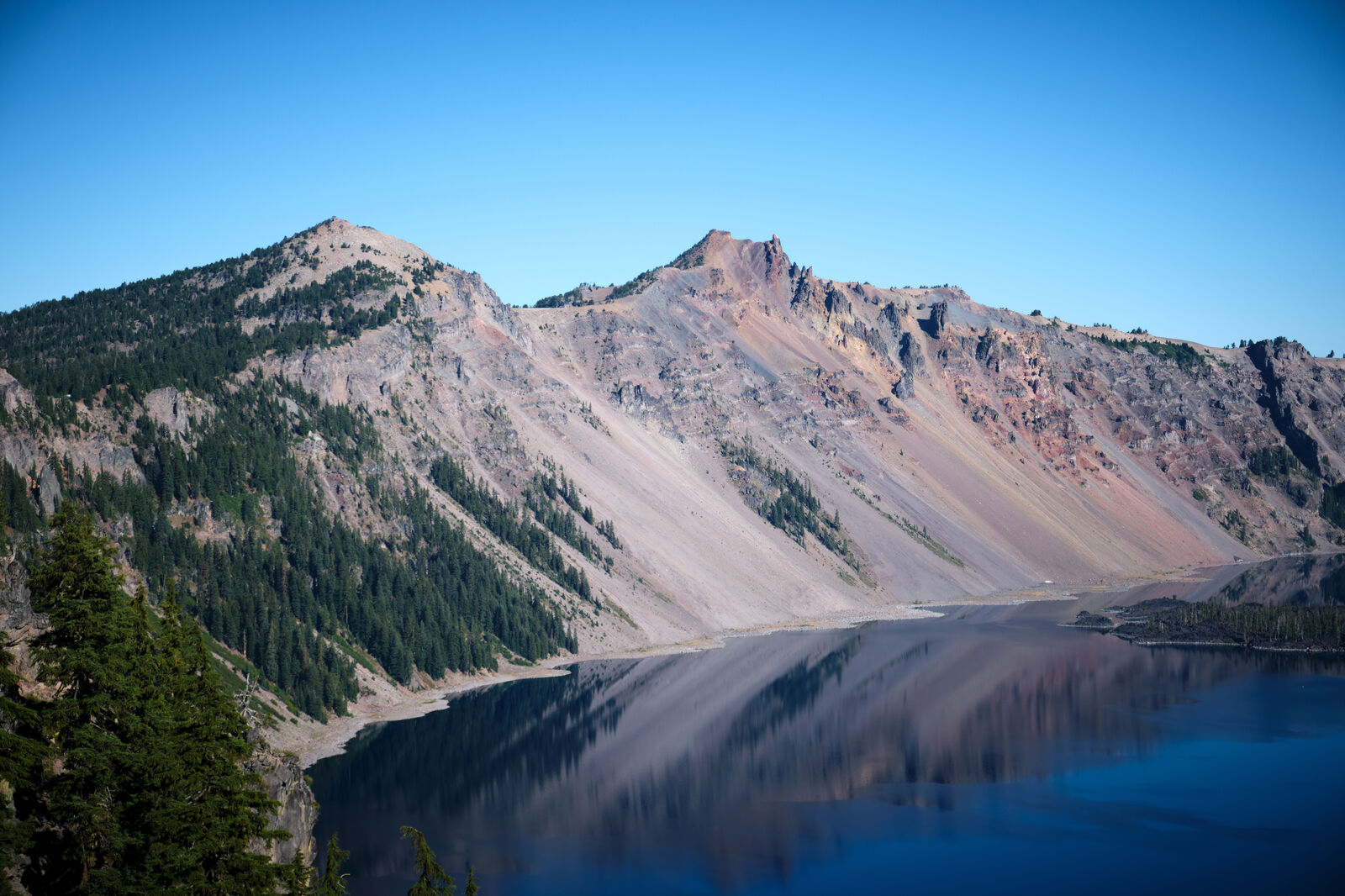
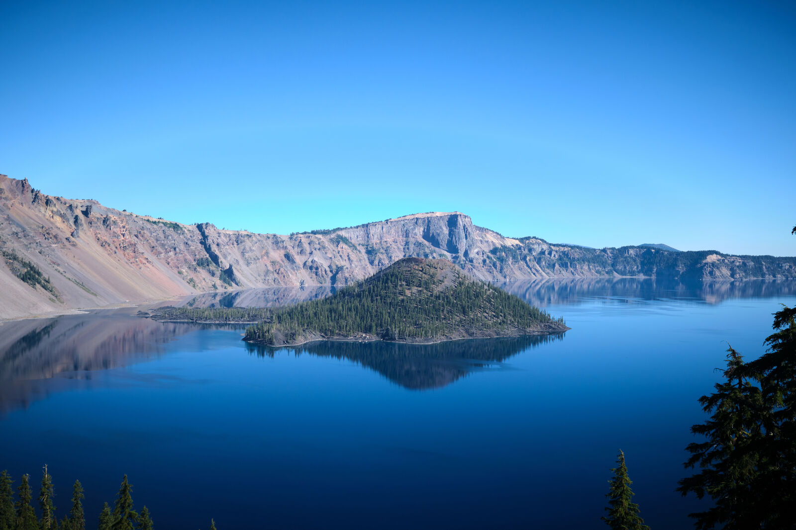
Morning came as a cold shock and I hiked through the lonely burn, towards Crater Lake. Once again, I needed to make it to my resupply at Crater Lake National Park before it closed, so I did my best to ignore my fatigue and the cold and hiked as fast as my body would allow me.
On the way, I ran into Moo coming southbound and we caught up briefly, before I let her know I needed to make it to Crater Lake and she ushered me on. I walked through more burns, until I reached the roads that would lead me to Mazama Village, where my resupply package was.
The next day I enjoyed a walk alongside the roads of Crater Lake until I rejoined the PCT near the northern border of the park. This next section was extraordinarily dry, but Devilfish, the same trail angel who maintained water caches in the desert, also had several water caches here in Oregon. His herculean efforts to keep these caches filled with water likely made these otherwise miserable sections much more bearable.
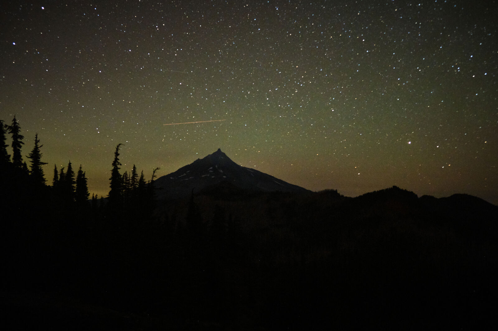
Before the day was over, I ran into Yeezus going southbound, and we traded advice on the next sections. Soon after, I crept down to Thielson Creek and watched the stars under a frozen night. The next morning, I crossed paths with Lefty, who updated me on some of what my trail family had gotten up to since we were all separated by the wildfires.

I had gotten new shoes at Crater Lake, and the new shoes were unfortunately causing major blisters. As I was so close to the end, however, I ignored the pain and a two days later I made it to Willamette Pass where Little Hamster, who had just moved to Portland, was waiting for me.
The next section was now closed by a new fire, so she drove me to Sisters, where I picked up my resupply and I returned to the trail at Santiam Pass. This technically skipped some open sections of trail between Devil’s Lake Trailhead and Santiam, but as I had hiked through the Three Sisters Wilderness many times before, I wasn’t too concerned with missing these miles.
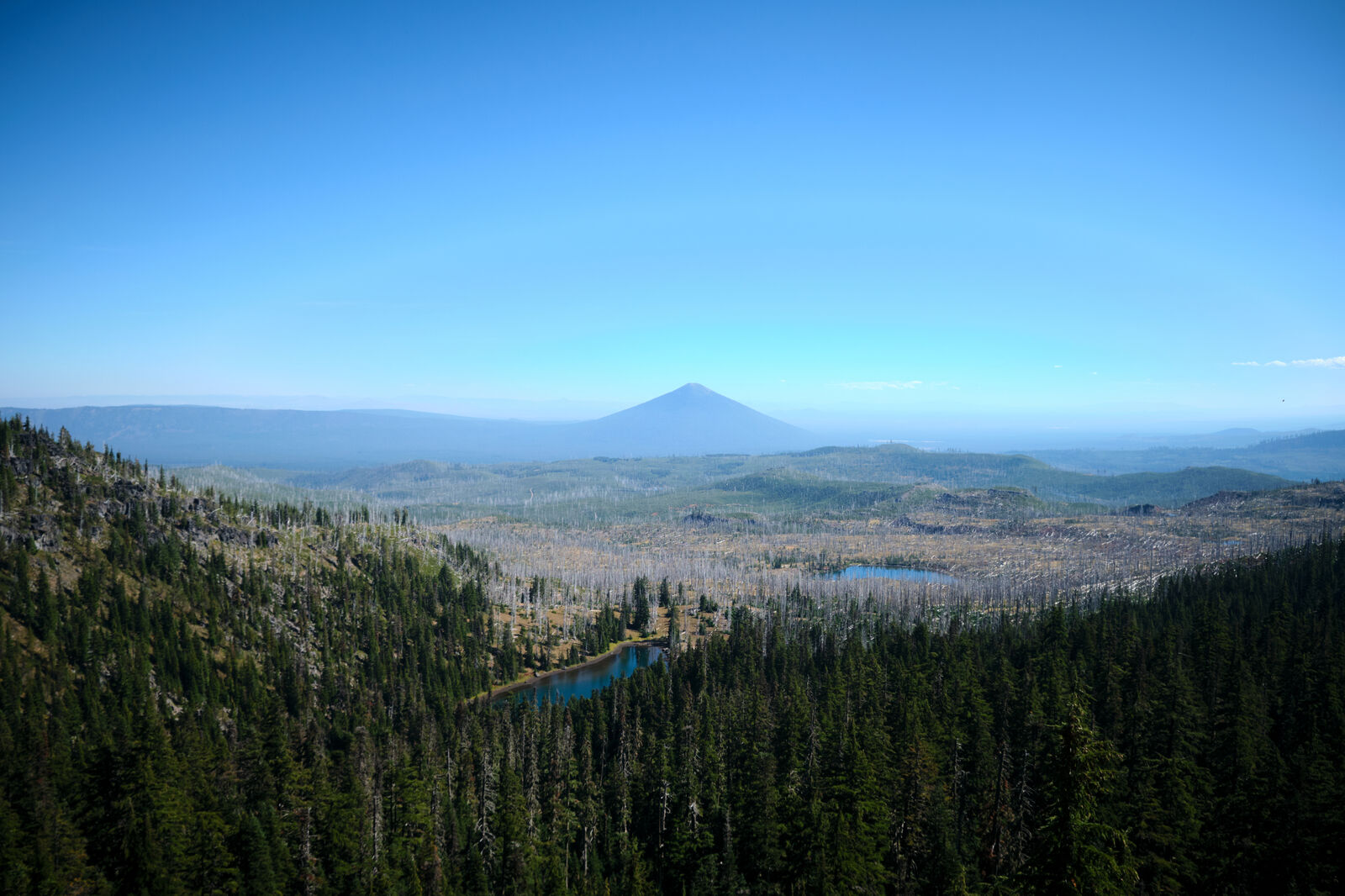

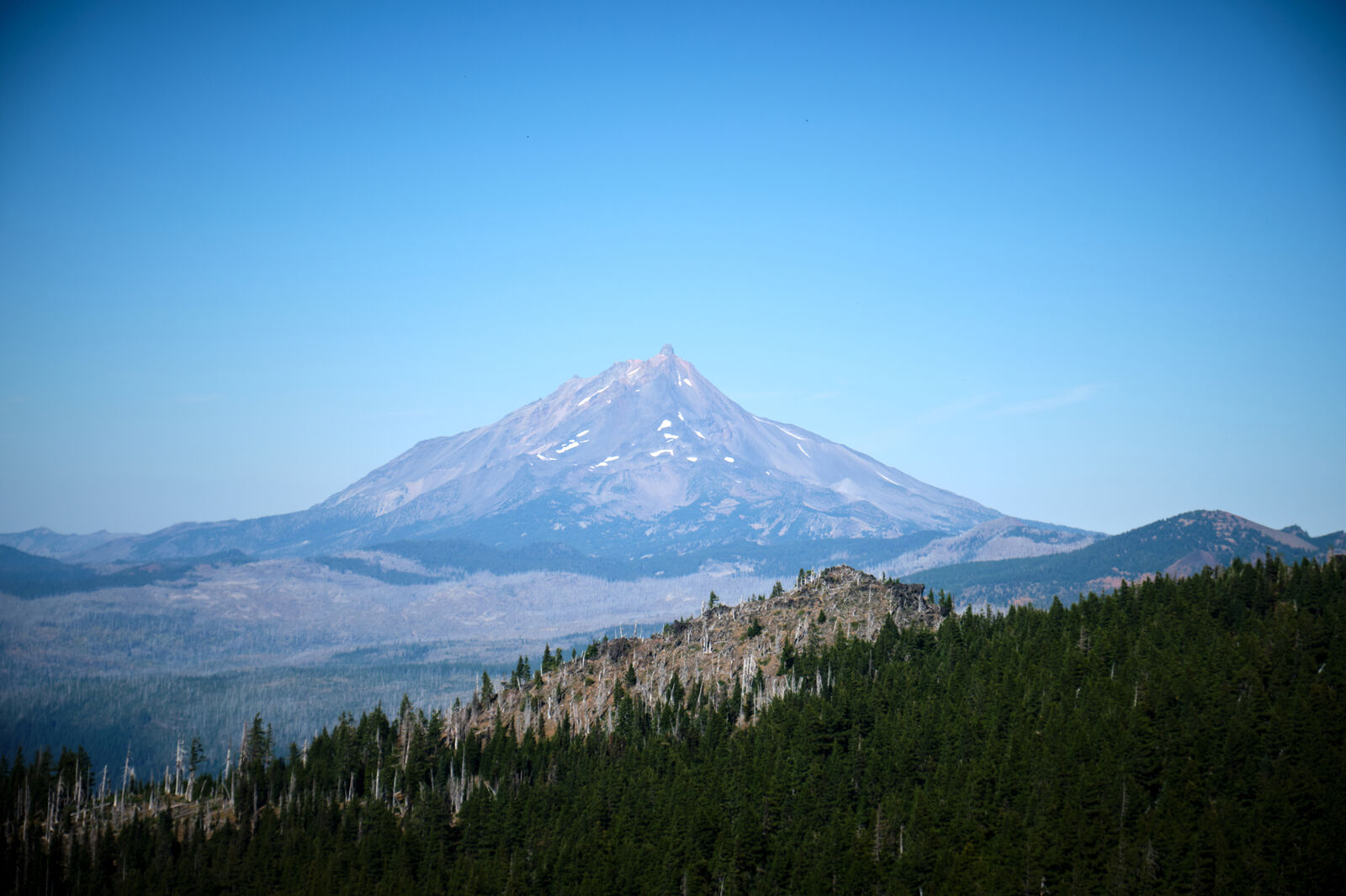
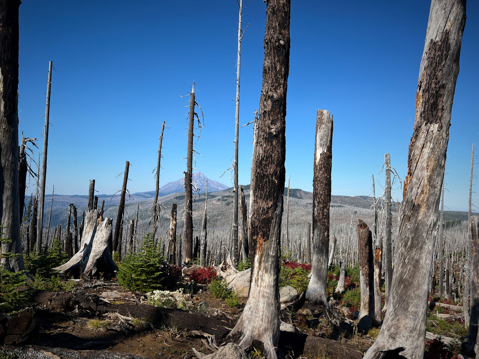
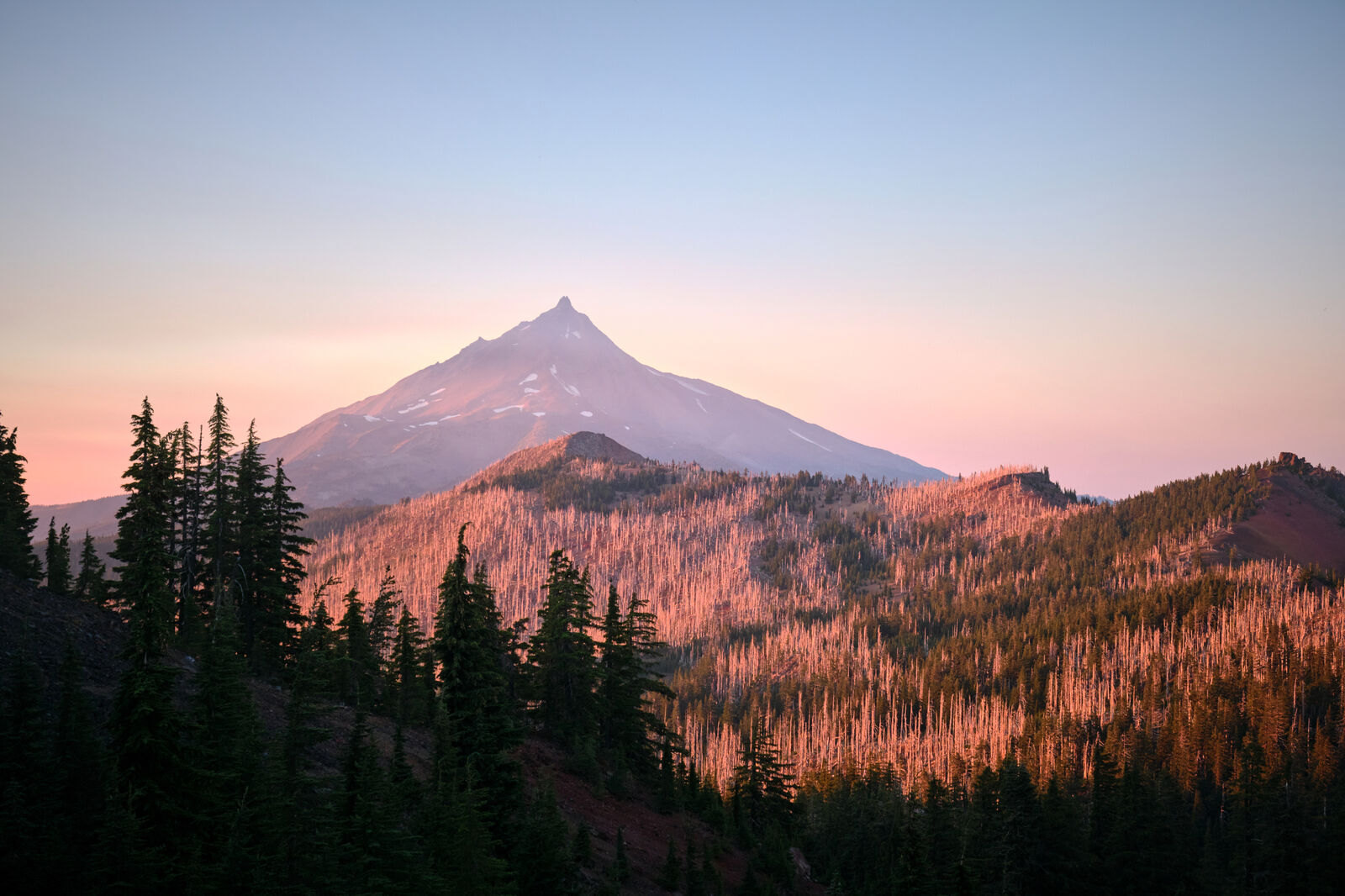
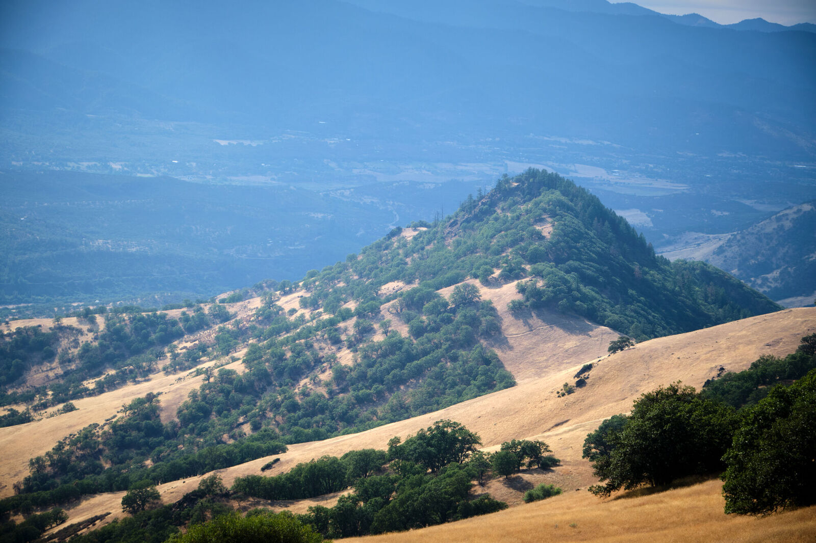
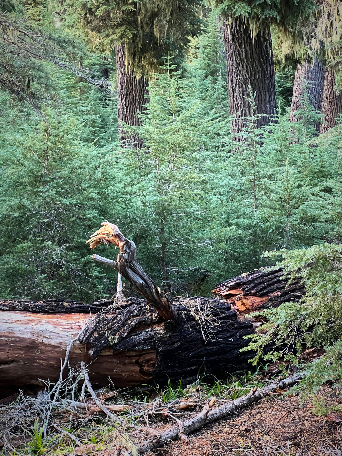
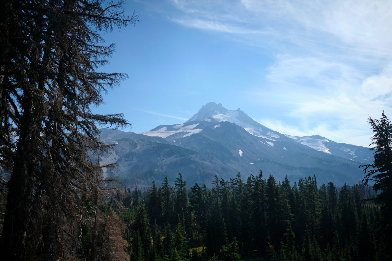
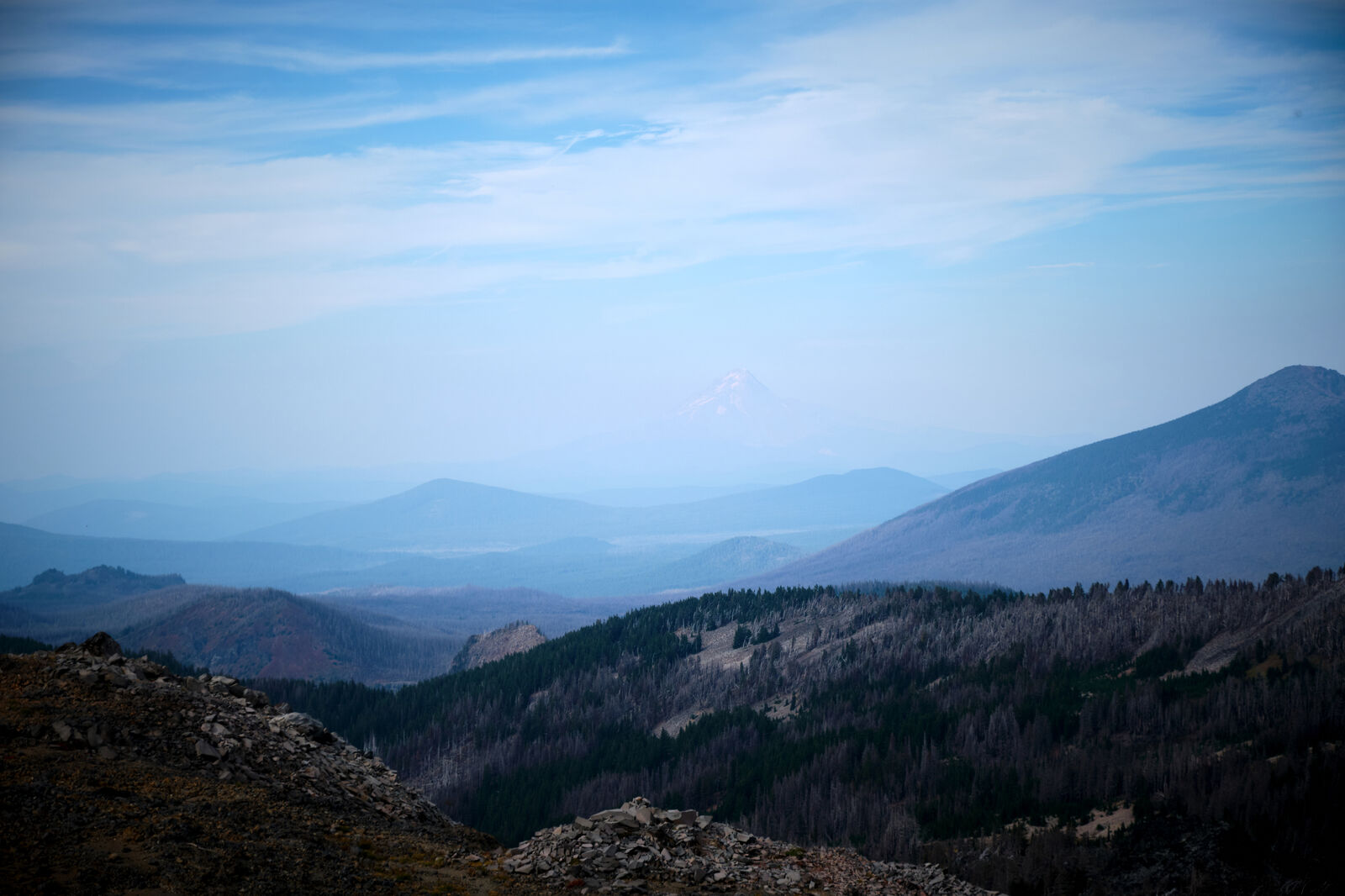
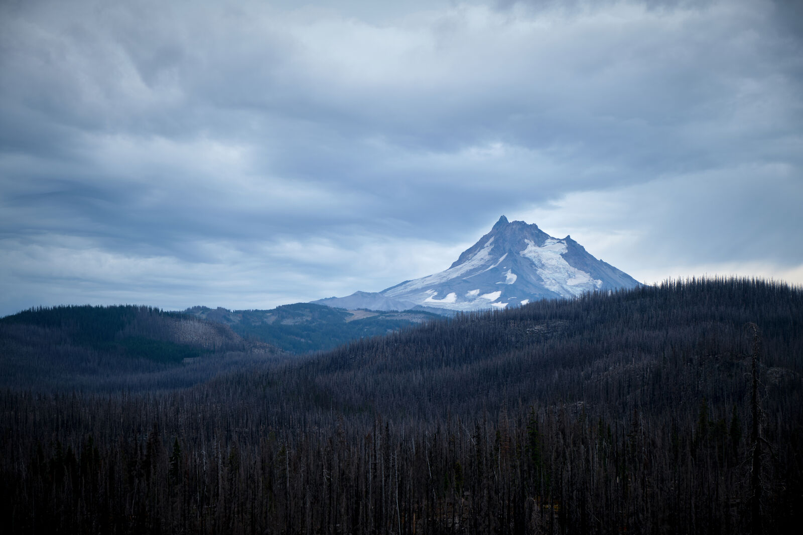
For the next few days, I hiked through what felt like endless burns. The only part of the landscape that changed was the towering figure of Mt. Jefferson as the trail went around it. Most days were eerily quiet and multiple times I awoke with a start, not because of a noise, but from the realization that it was too quiet. Several nights I slept by a pond, hoping for the slightest sound to prevent me from going crazy, but there was only silence.
Past Ollalie, which was closing for the season, my feet went from excruciating pain to something even beyond that. There was no way to prevent blisters and the constant downpour made me concerned about trench foot. I reached Highway 35 in the dark, rain still pouring. I was only five miles away from Timberline Lodge, but as a car passed by, I stuck out my thumb, not expecting much.
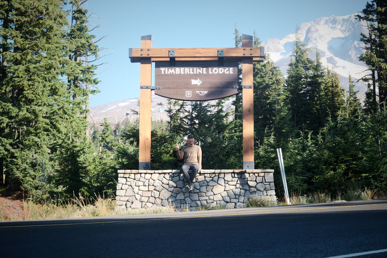
Instead, the car screeched to a halt, and the driver ushered me in. He took me about six miles down the road to Government Camp, where I thanked him for picking me up and I booked a hotel room to dry off. While this stay was extremely unnecessary, allowing my feet to get some rest made the world of difference and the next day I walked the road from Government Camp up the hill to Timberline Lodge.
At Timberline Lodge, I walked up to the sign I had skipped up to several weeks prior and gently rested my hand on it. With this, I had finished up every mile on the PCT that wasn’t closed and I walked into the Timberline Lodge buffet to wait for Little Hamster to pick me up and take me to the Portland airport.