Chapter 11 - Chinook Pass to Stehekin
I found a Lyft driver who was willing to drive me back to Chinook Pass from Yakima, despite the considerable distance. Since I knew I’d be out of internet service when we got back to the pass, I made sure to bring enough cash to tip generously.
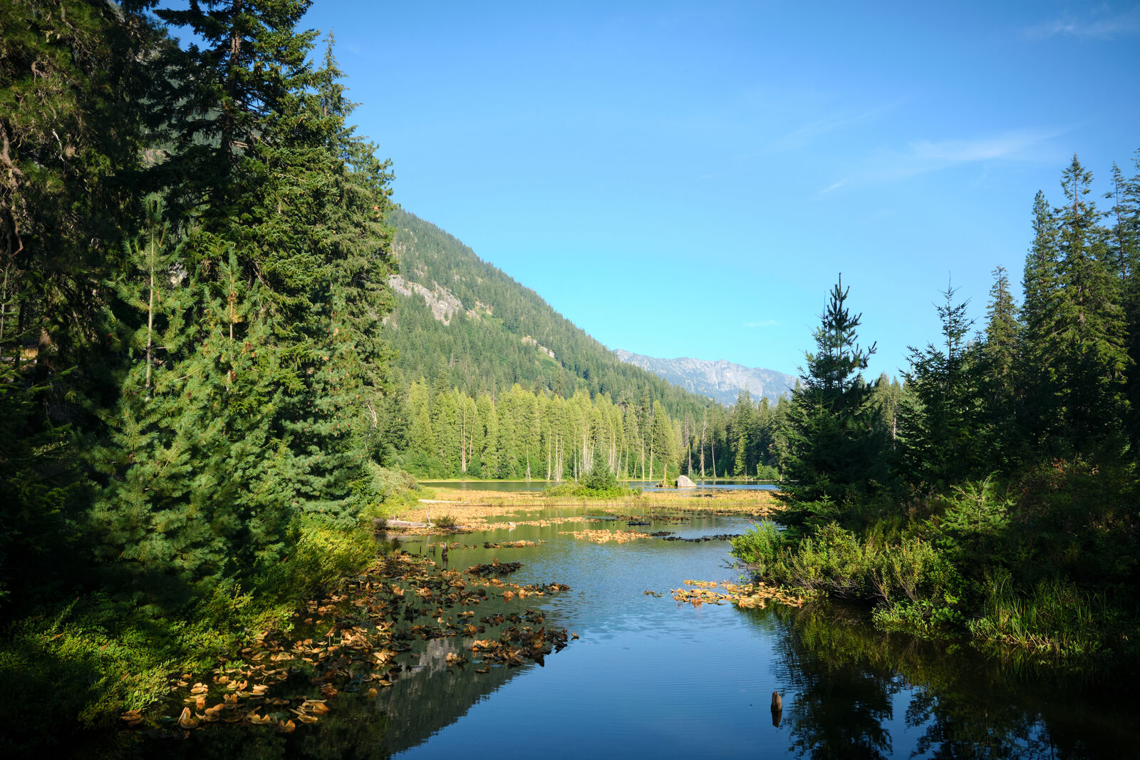
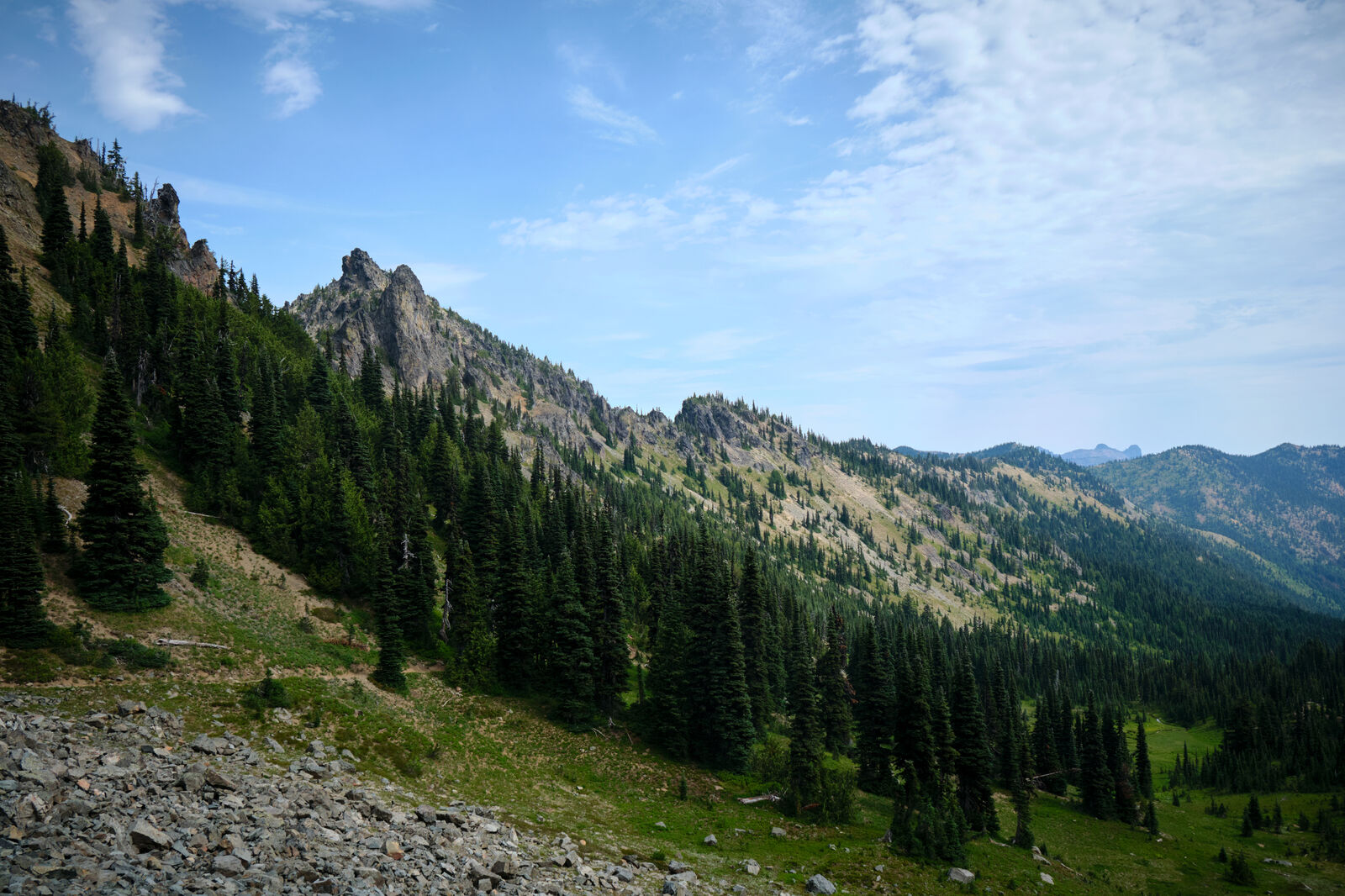
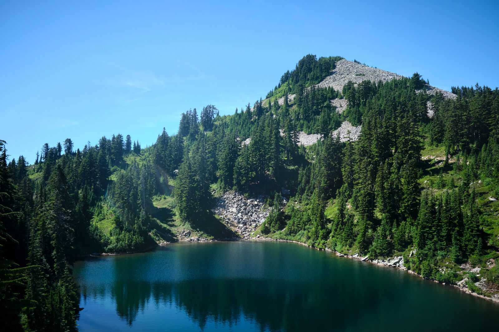
Leaving Chinook Pass I passed several lakes, but skipped them as water sources. I rarely trust stagnant lakes near trailheads, as they are often where illnesses thrive.
The trail was surprisingly empty when I returned, due to PCT Trail Days happening back in Cascade Locks. As a celebration of everything about the trail, people up and down the trail made the effort to hitch to Cascade Locks. After losing several days in Yakima, however, I continued hiking.
Passing the Mike Ulrich hut, I found a few other hikers, but otherwise, I hiked alone through forest roads. I barely had the energy to struggle up even these relatively small hills, but my stomach was able to keep it together.
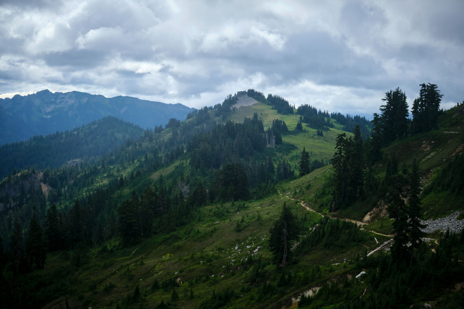
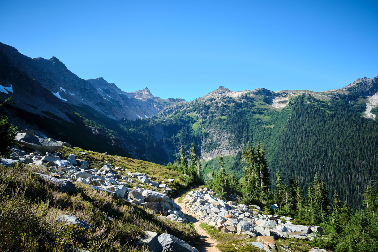
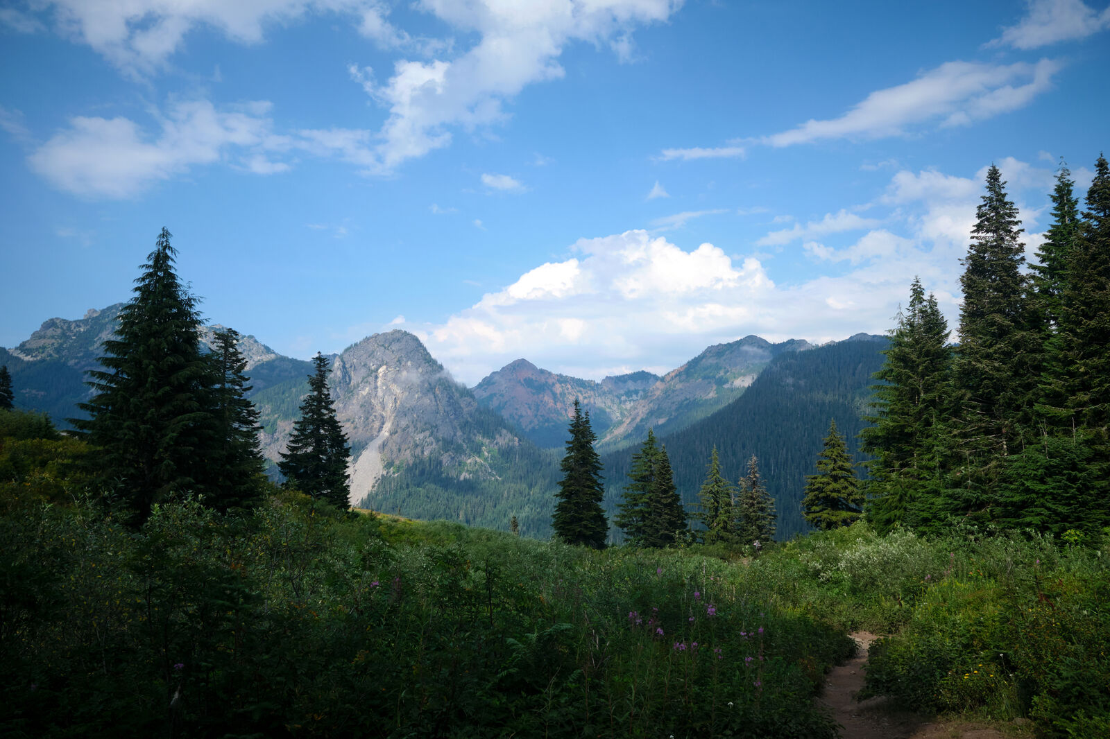
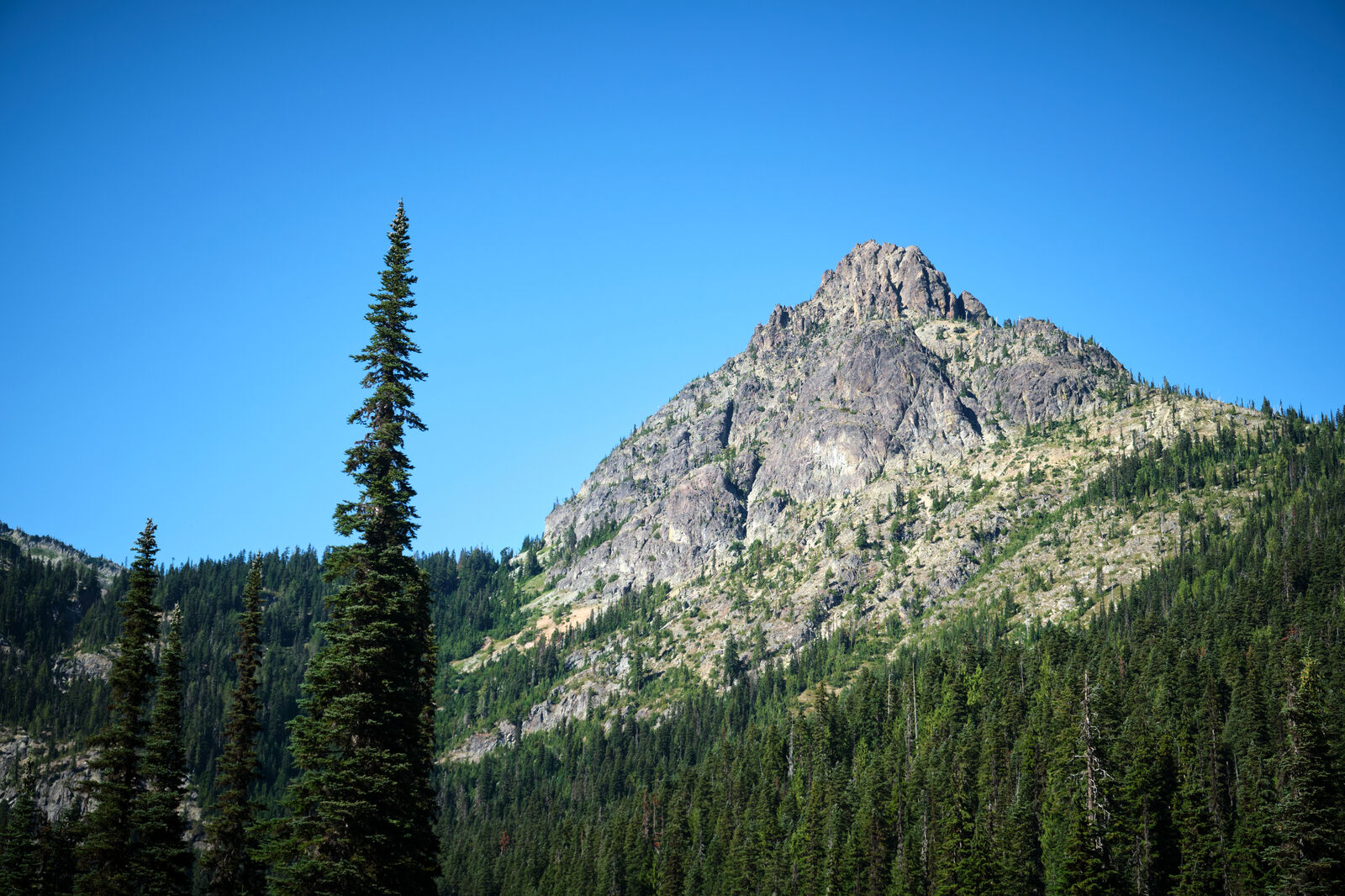
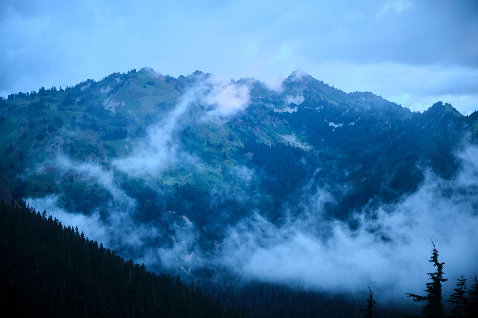
As I approached Snoqualmie Pass, the trail increased in rockiness. Despite being mostly downhill, my feet were getting torn up and had once again swollen another shoe size past what they already had swollen to.
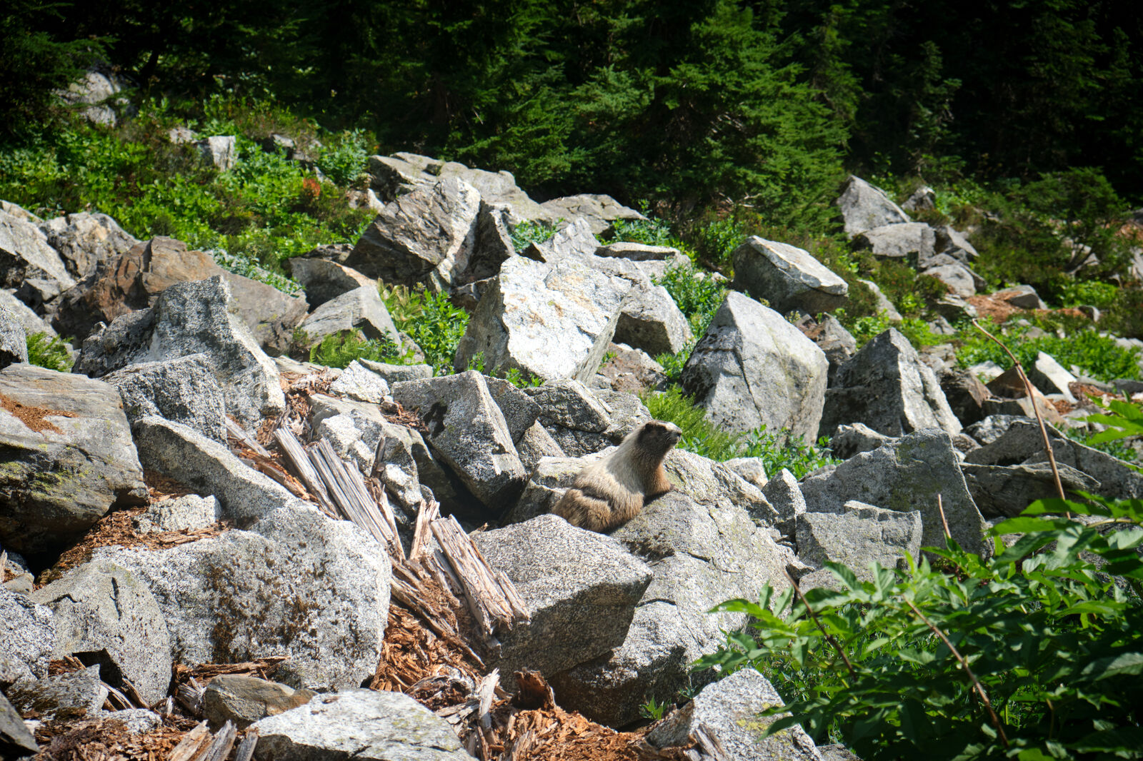
I also came across many day hikers, which wasn’t common so far on the PCT. Because of this, I made extra precautions to avoid the lakes and stuck to running inlets as my water sources.
At Snoqualmie, I hobbled down the ski slopes, wishing I could have used the lifts, and decided on a hotel room instead of the hiker hostel. This ended up becoming a good idea, as quite a few hikers between White Pass and Snoqualamie had come down with something like norovirus. At the hostel, this became somewhat of a disaster. Floss too became ill just ahead of me and needed to get a ride to Seattle to recover.
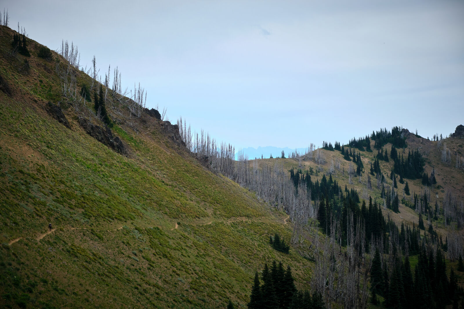
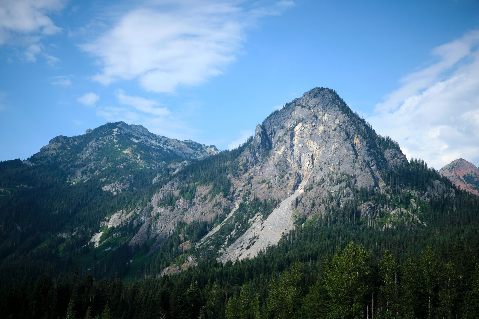
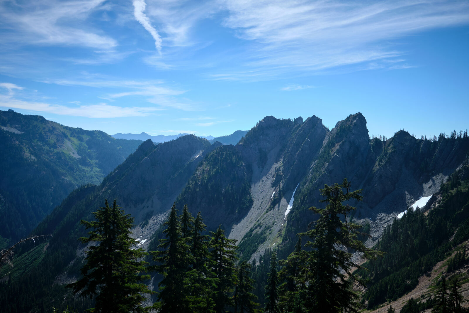
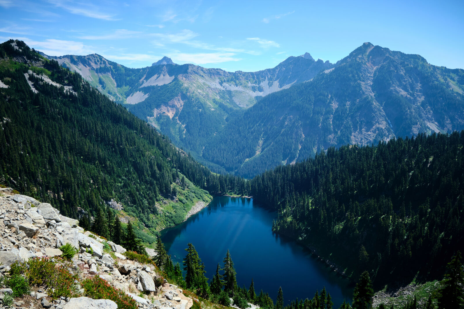
Despite how much more difficult the trail’s elevation and scree fields became, I was still flying past the day hikers, allowing me to see how much stronger I had become over the past few months. The blowdowns in this section intensified, but I was able to make significant progress.
Wanting to catch up to Shapes and Magma, I ignored the pain in my feet, once again returning to 30+ mile days, but this time with a significant amount of elevation gain and loss. This required night hiking, which was a poor idea due to quite a few risky water crossings, but eventually I drew near Stevens Pass.
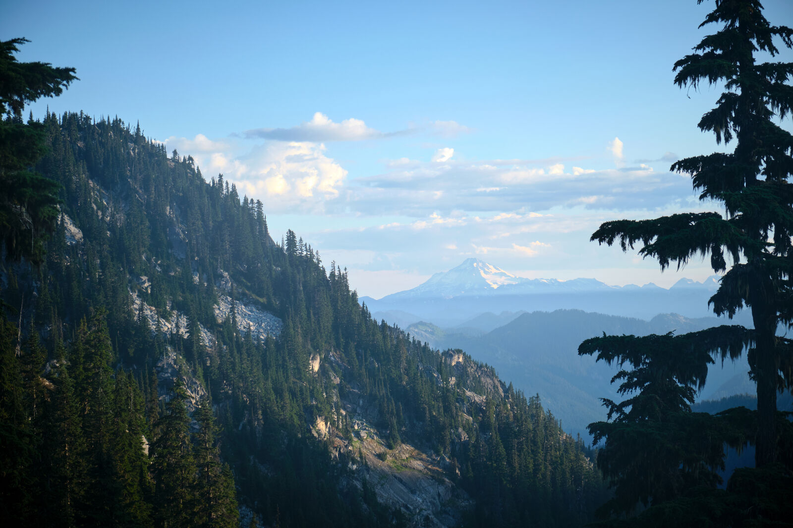
After racing up one last climb of 1,000 feet of elevation gain in less than a mile, I enjoyed Stevens Pass’ ski lifts and got service again. I found out that Magma was actually behind me, after she went to Trail Days, but Shapes was in Leavenworth, just down the highway from Stevens Pass. His family is from Washington and they picked me up from Stevens Pass and brought me to the Bavarian themed town of Leavenworth.

Shapes and I took two zeroes in Leavenworth after being pretty beat up by the trail after Snoqualmie. We also knew that the trail would remain difficult until the Canadian border, so we stayed off our feet and ate as much as we could get our hands on.
Shapes, having already been in Leavenworth for a day longer than I had, went on ahead of me, expecting that I would eventually catch up. For my final day of rest, I found Foxy, Trippy, Divebomb, and Floss, where I found out that instead of going back to finish up the pieces of the trail that they had missed, they were going to consider their time on the PCT finished for this year once they reached the northern terminus.
While this made sense with the fires in Oregon worsening and not likely to ease up, I was hoping to go back and do as much as I could. As the others were planning to spend an extra day in Leavenworth, I got a hitch out of town from a man who was heading to Seattle to visit his father on his deathbed. Stunned by the man stopping to pick me up, I thanked him profusely and jumped out of the car as soon as I got back to Stevens Pass.
Leaving from Stevens Pass, I almost immediately ran into a group of thru hikers I had briefly met at Timberline Lodge. They explained they were quitting, especially with additional wildfires up north threatening to close parts of the PCT and the wildfires down south still far from being under control. This shook my confidence, but as there were still multiple options to leave the trail coming up, I continued.
I only packed out about 3 days of food between Stevens Pass and the cutoff to Stehekin, but had about a hundred miles to make. I hiked deep into the night, scrambling over rough terrain.
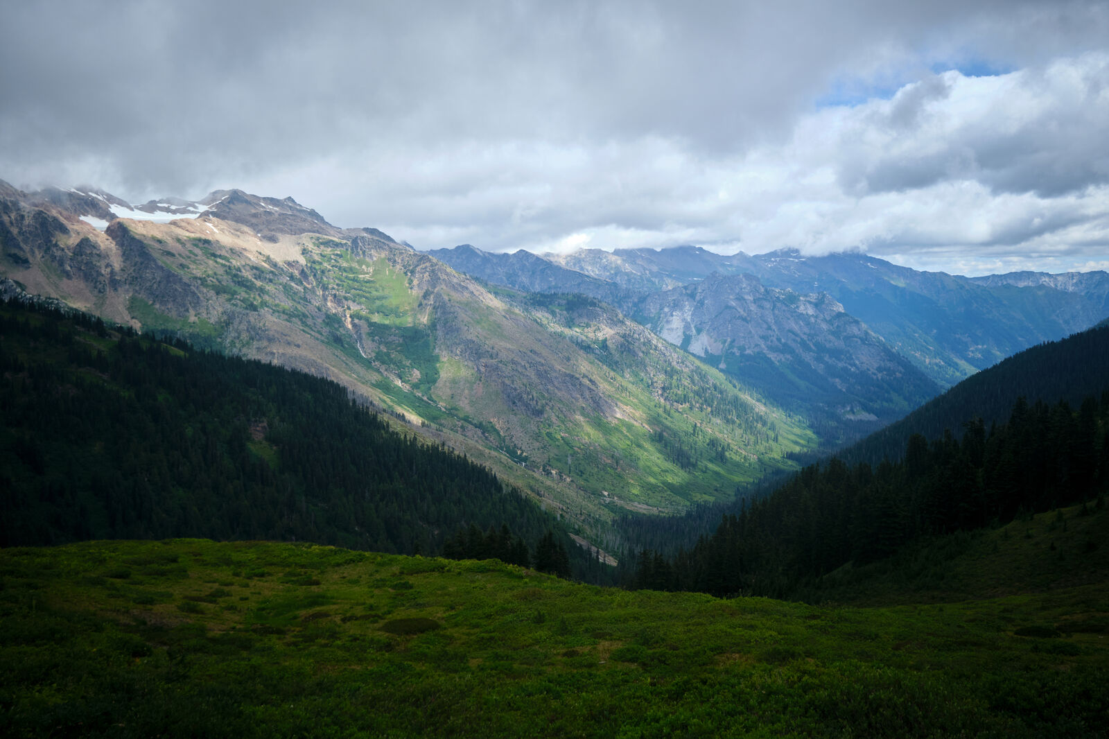
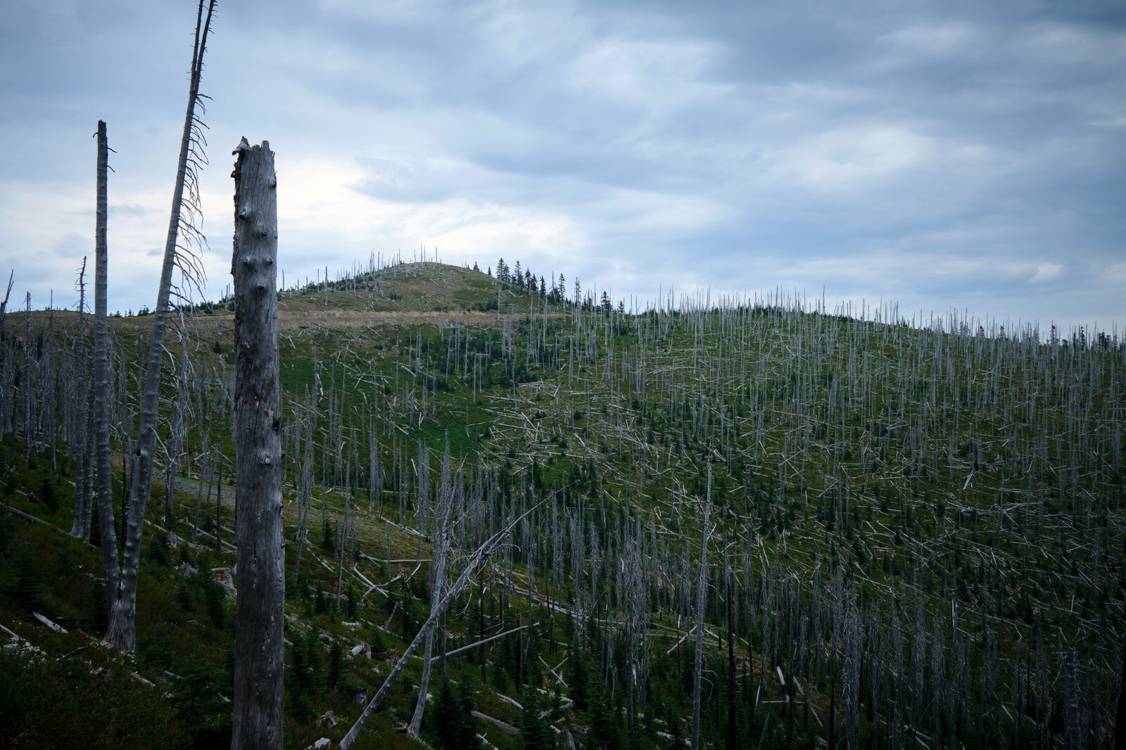
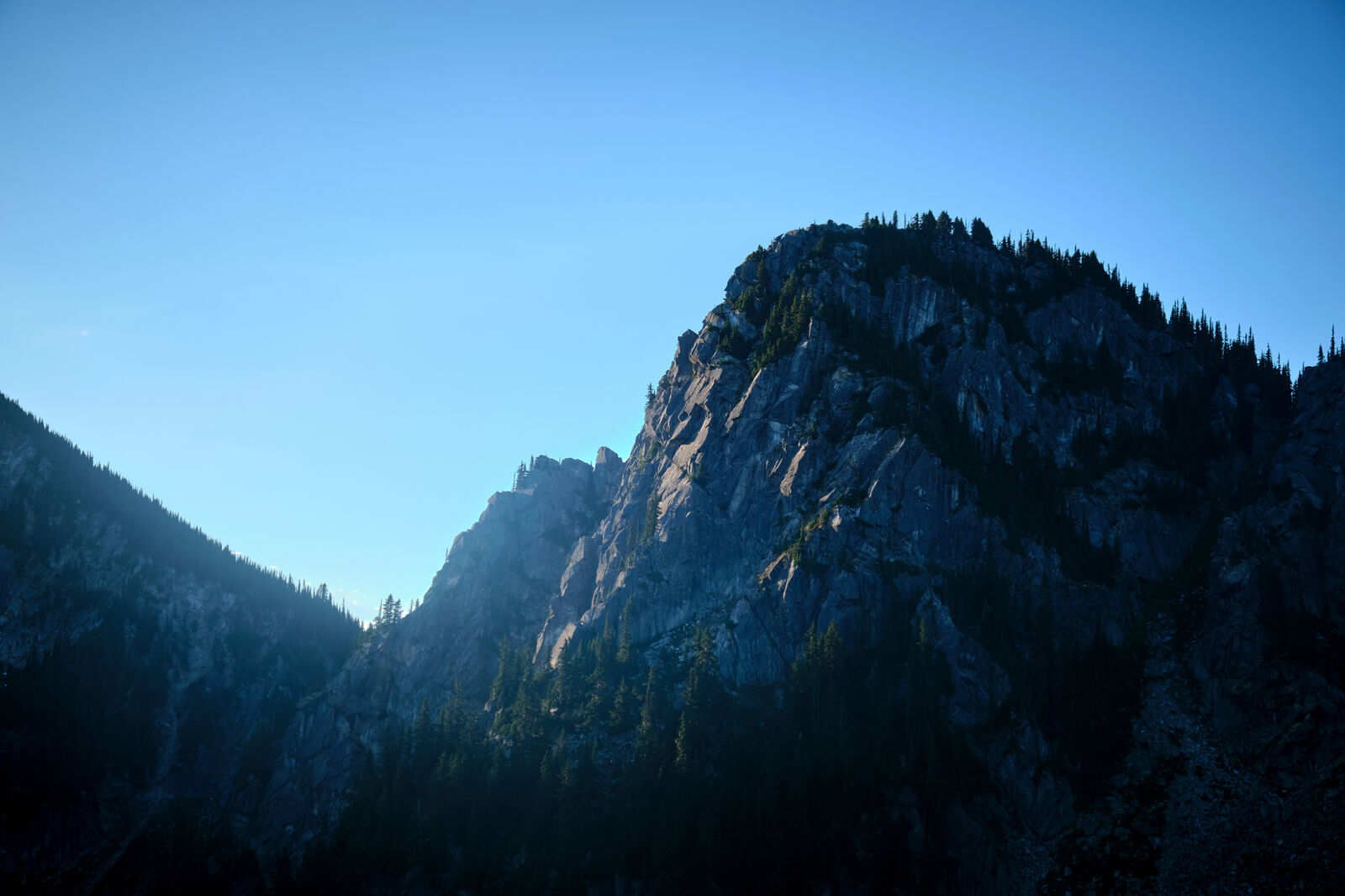
The next day, I carefully made my way across Milk Creek. From other hikers I had heard, this next section was one of the most challenging, with an excessive number of downed trees and deteriorated trail conditions. I spent a significant portion of the day on my hands and knees. I planned to target Fire Creek, but a southbound hiker let me know that Fire Creek was packed for the evening, so I cowboy camped in the trees just south of it.
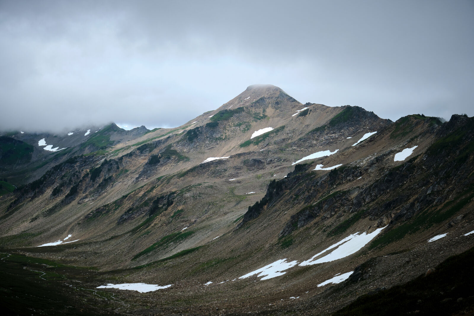
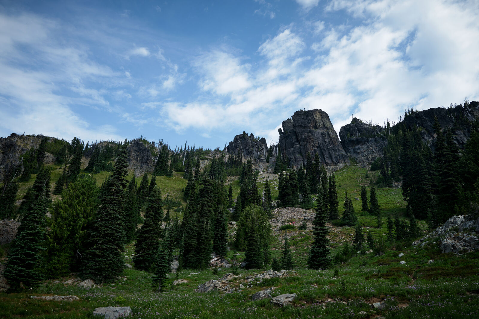
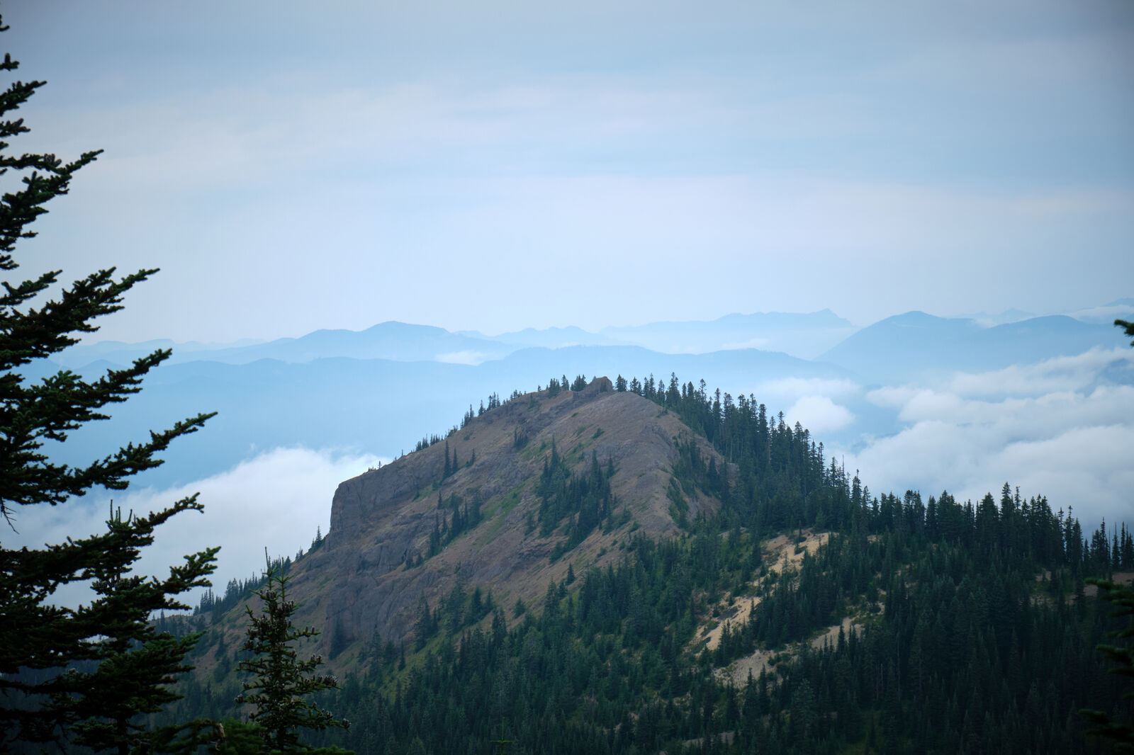
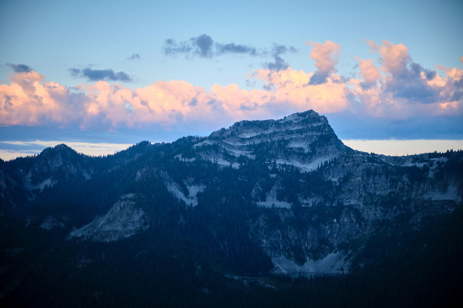
Early the next morning, I approached Fire Creek for water, only to find it completely empty. I then reached the top of the next pass and immediately regretted not camping up there, as the views were spectacular and the ground was flat.
The trail continued to physically crumble underneath me and lead through mazes of downed trees. I normally targeted about 20 miles by early afternoon to make 30 miles for the day, but without food, I found myself at around mile 17 by the time the sun was setting. I attempted to push on, but multiple days with little sleep left me exhausted and a few more miles in, I surrendered to my fatigue.
After a few more deadfall puzzles, I made it to the junction between the modern PCT route and the old route. While the old route used to be a fun diversion, the fact that the PCT I had already walked on was so under maintained left me completely uninterested in another side trip.
Crossing the Suiattle River, the trail became much smoother, and even with 4,000 feet of elevation gain that morning, the day felt much easier. I ran into weekend hikers coming south, who were navigating some rather mild blowdowns ahead of me. The lead of their hike assured them that this was the worst of the blowdowns and when I was about to correct him, he shot me a dirty look.
The rest of the day was a gentle descent as fighter jets practiced overhead. I ran into Misplaced and White Stripe, neither of whom I’d seen in months, who introduced me to Stellar Jay, and we made it just shy of the cutoff to Stehekin.