Chapter 8: South Lake Tahoe to Chester
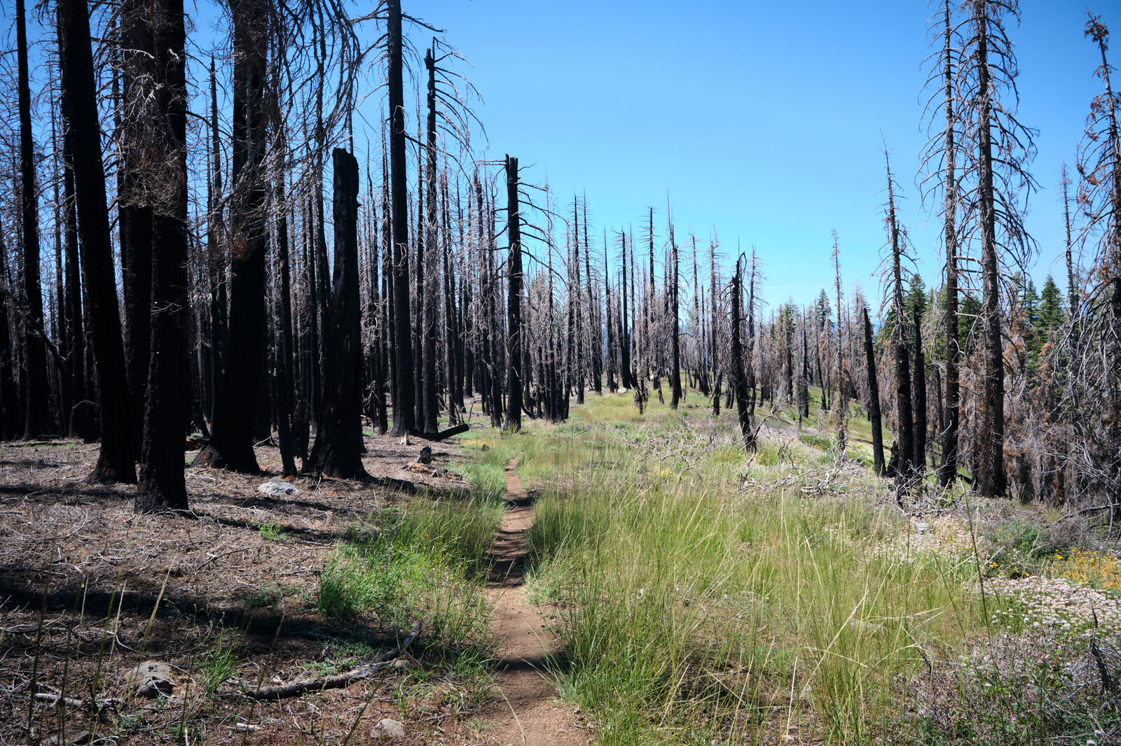
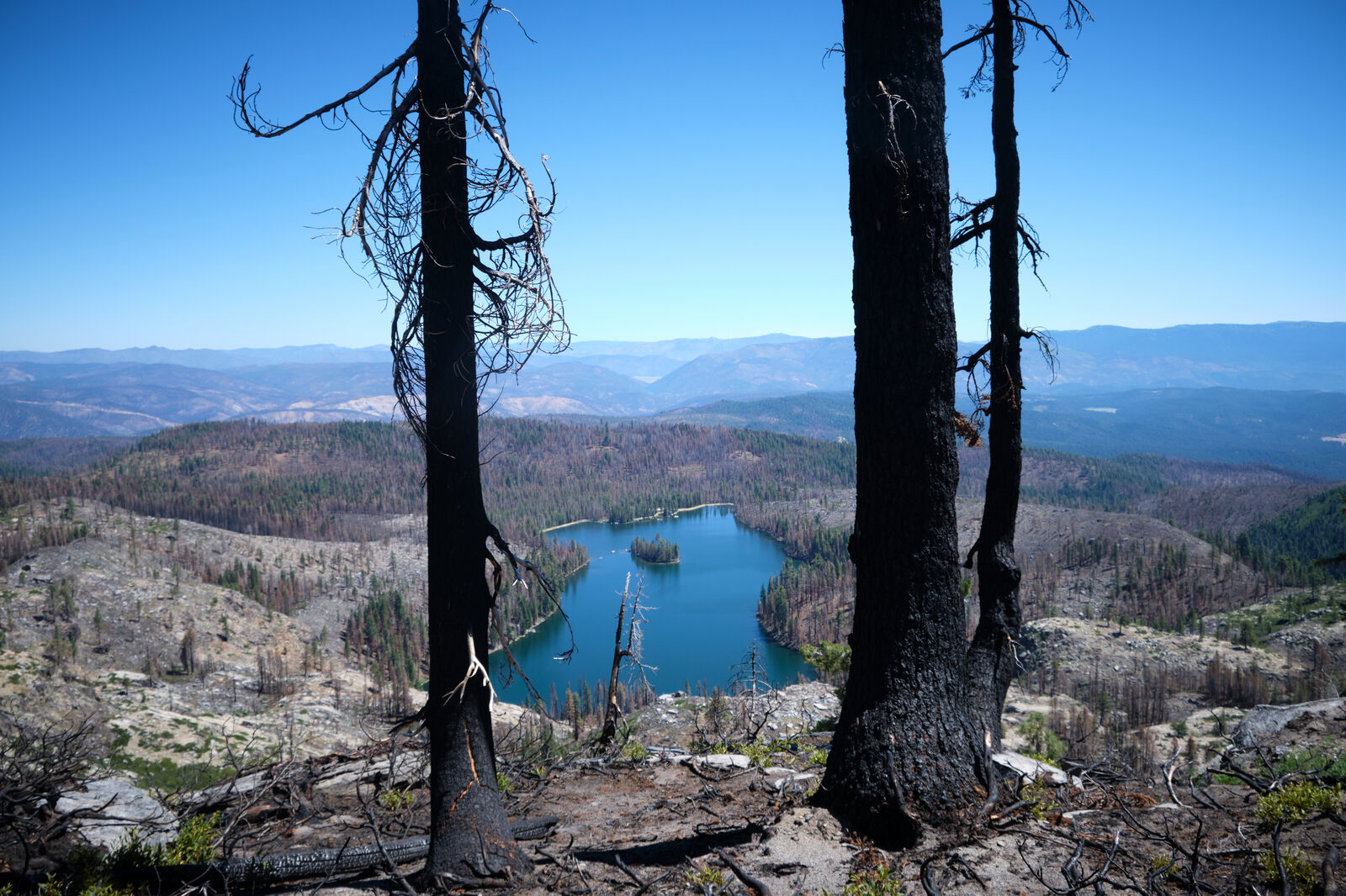
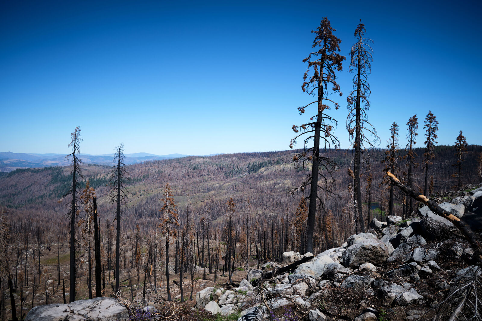
In 2020, over 300,000 acres of Northern California were burned by the Bear Fire. In 2021, an additional 950,000 acres burned in the Dixie Fire. Combined, they led to several fatalities and injuries, while upending the lives of many people who called Northern California their home.
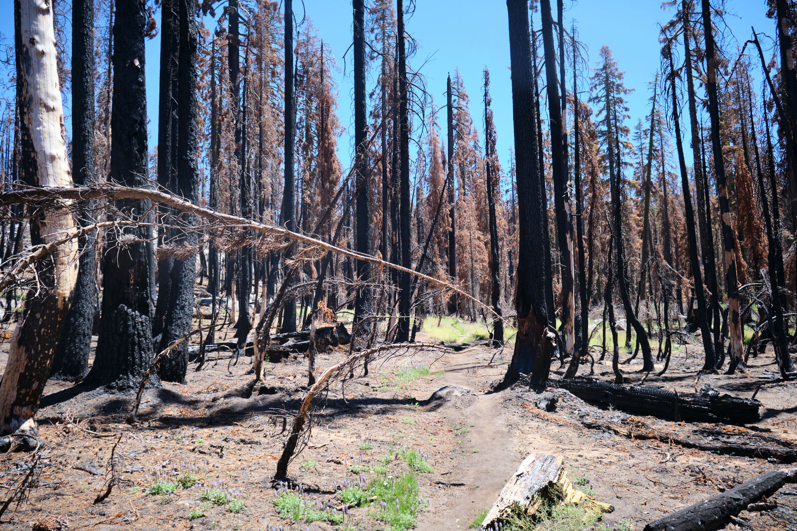
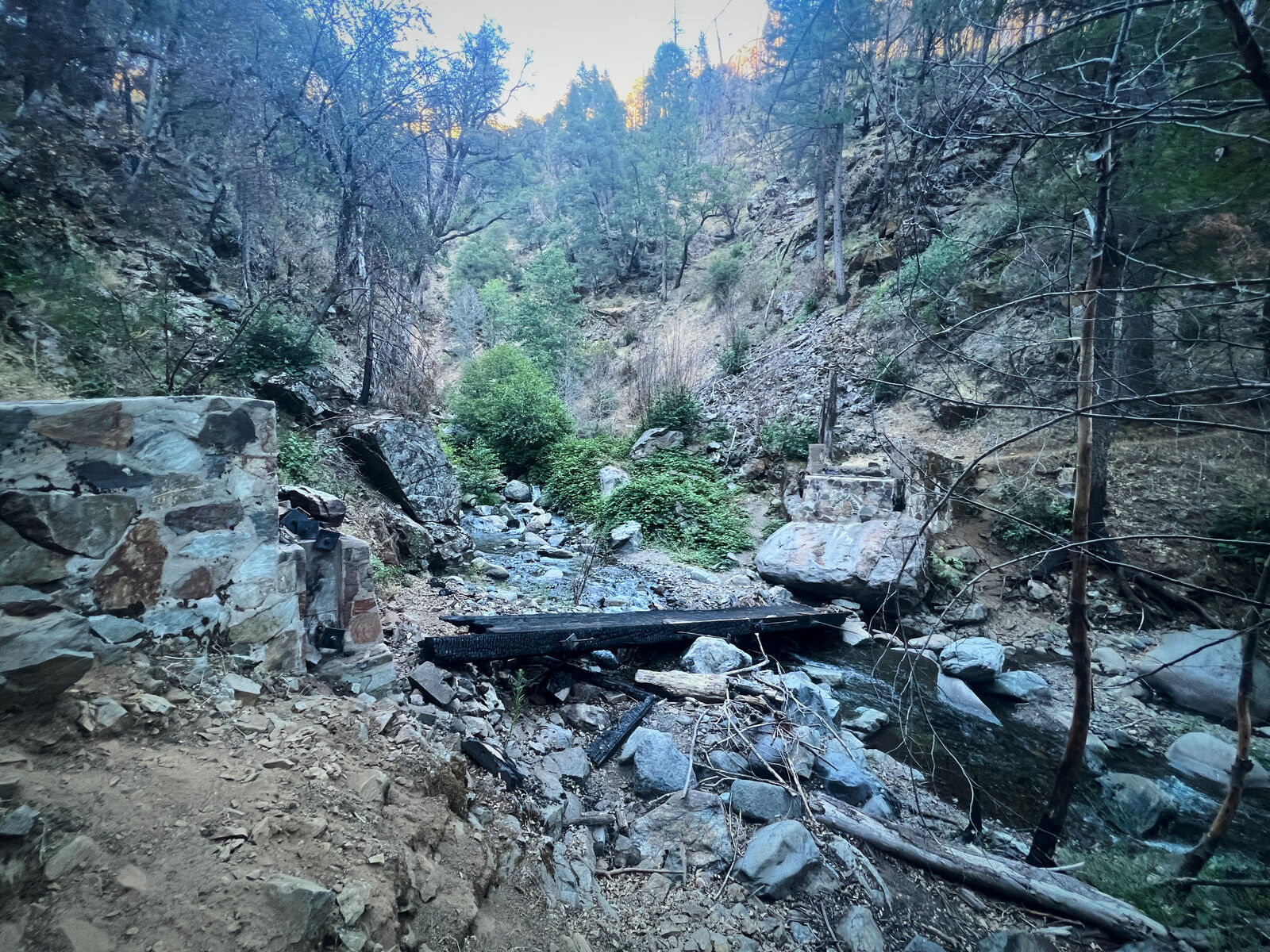
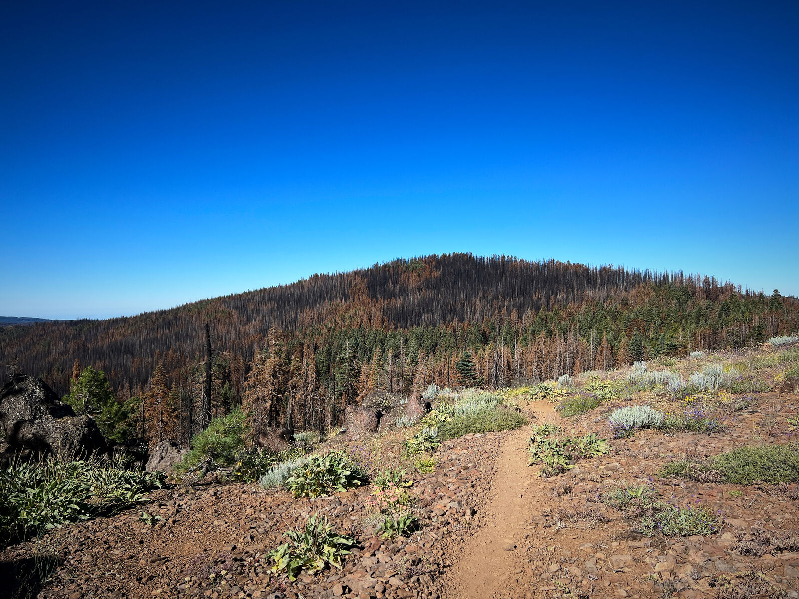
More than a hundred miles of the PCT ran directly through these burns from Quincy to Old Station. While they had since reopened, hiking through wasn’t officially recommended. In general, hiking through a burn is technically risky, with collapsing trees and falling branches being responsible for quite a few deaths. Sleeping in burns is an even riskier proposition, as most campsites are directly at risk of trees falling on you.
While we had hiked through several burns at this point, most were relatively short. This meant that we could simply plan our hiking through these sections to avoid the most dangerous campsites. This burn, however, would require several days to hike through, leaving us at risk for several days.
Willow and Lefty were undecided about what to do. Ant Man and Black Widow wanted to skip some of the worst parts of the burn. Giggles, however, wanted to do all of it. Surprisingly, I also wanted to.
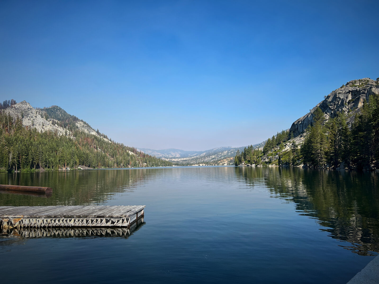
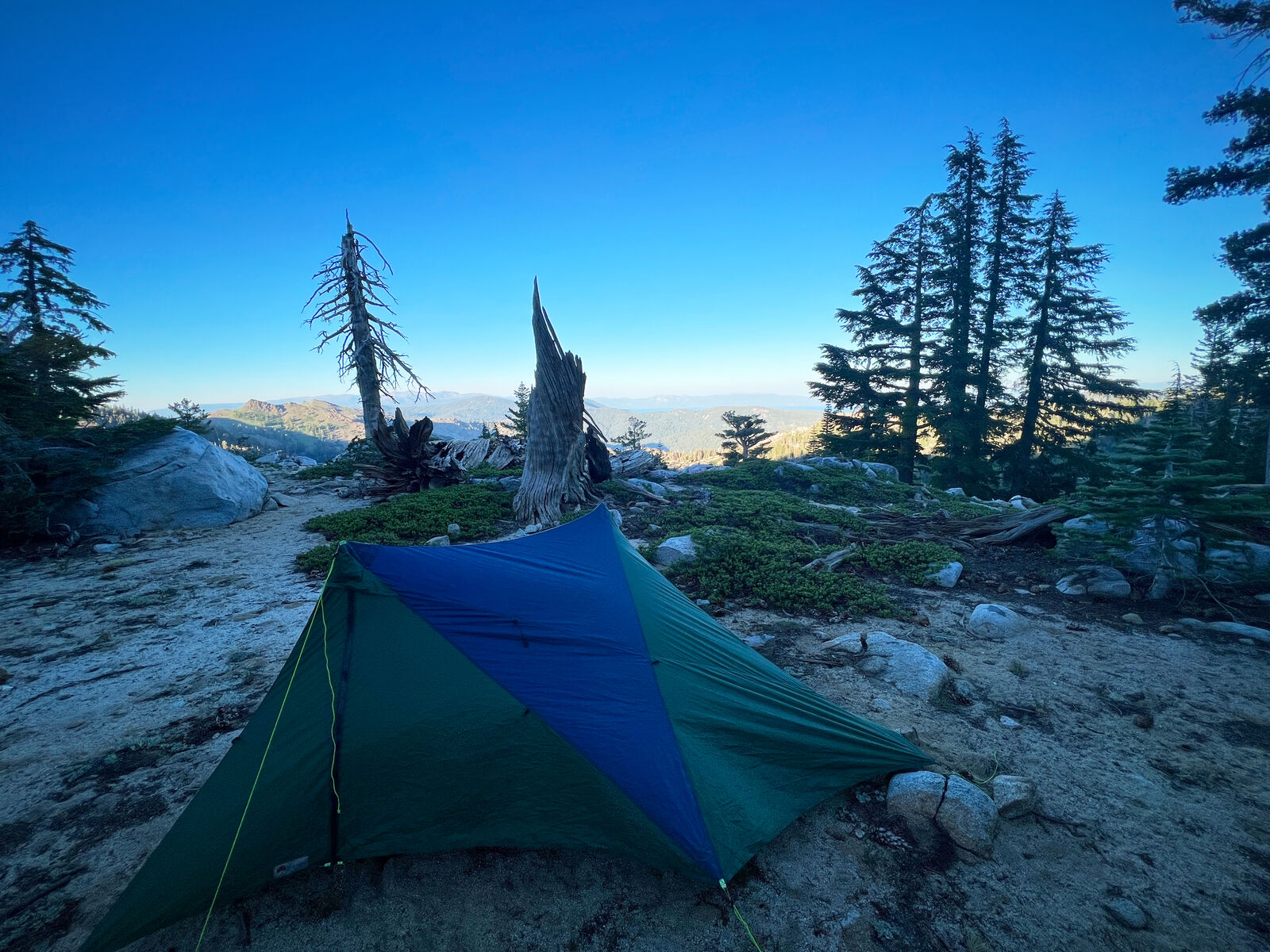
The trail family felt more comfortable about us hiking through the burns if we hiked together, so after I grabbed dinner with a coworker, Giggles and I left South Lake Tahoe and entered the Desolation Wilderness.
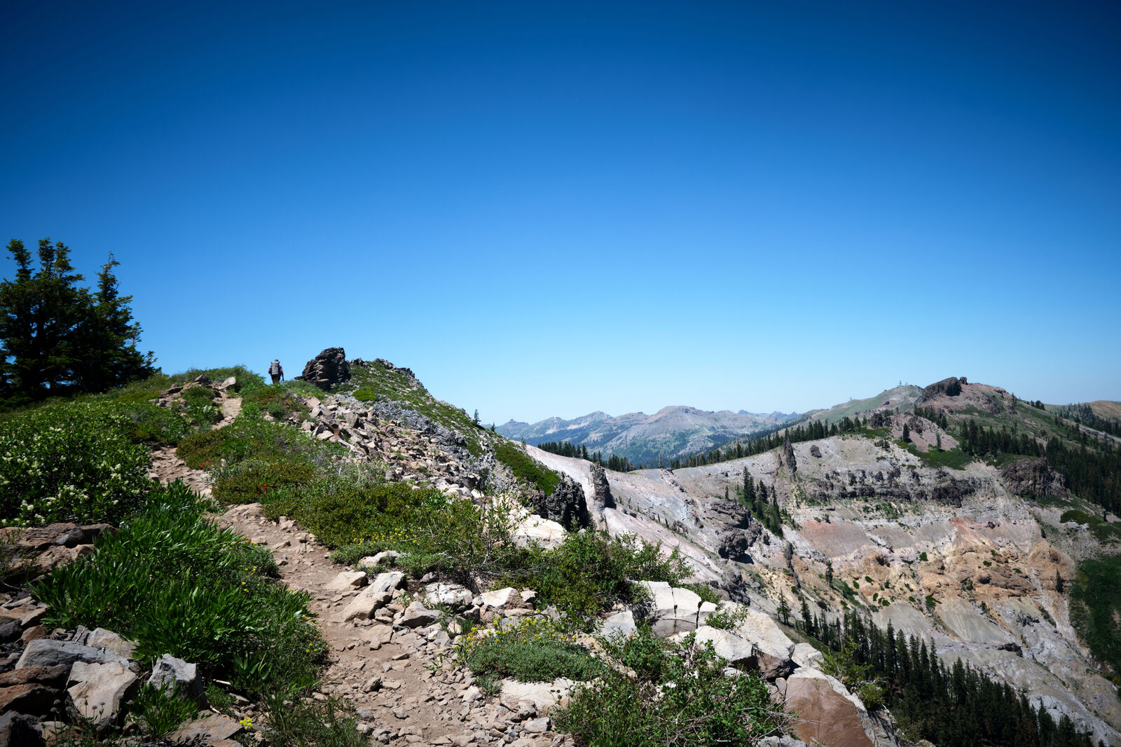
For a few dozen miles, we followed the Tahoe Rim Trail, along the shores of Aloha Lake and Lake Tahoe, before turning northwards. Here, my mosquito protection failed me and I reached our first campsite, driven mad by their bites.
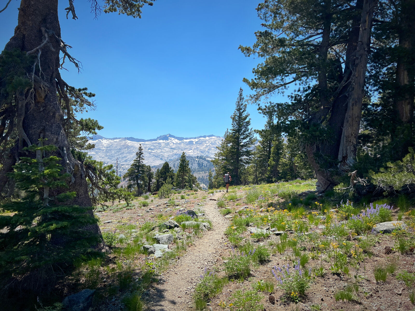
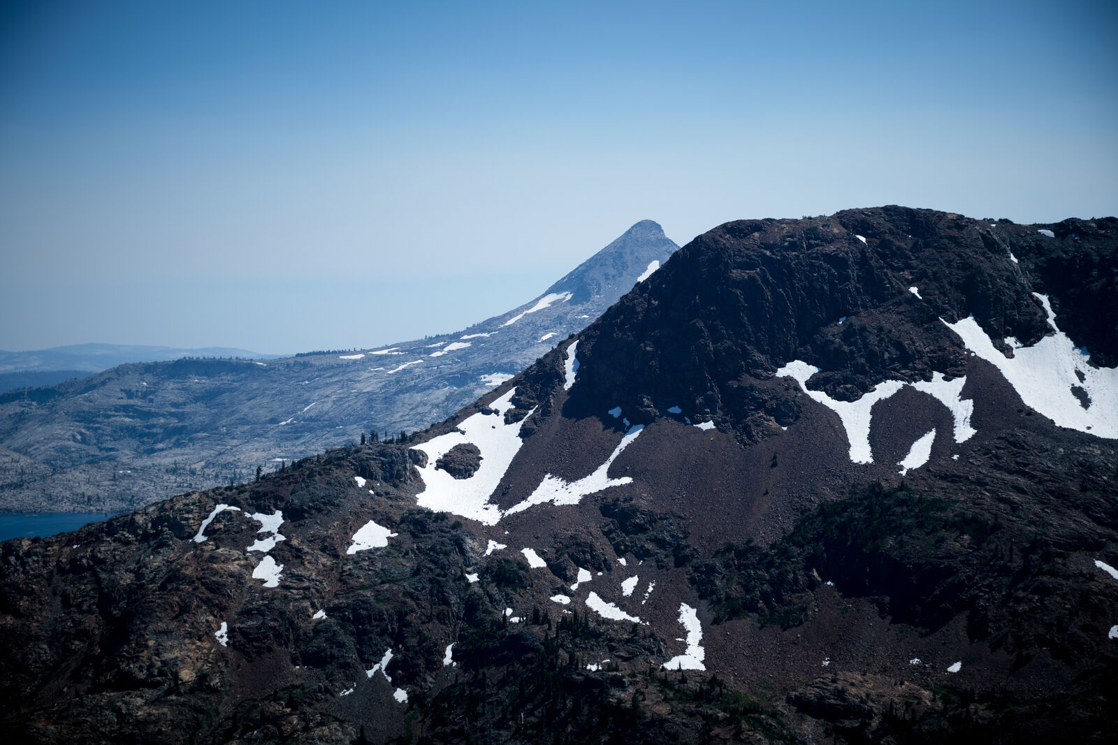
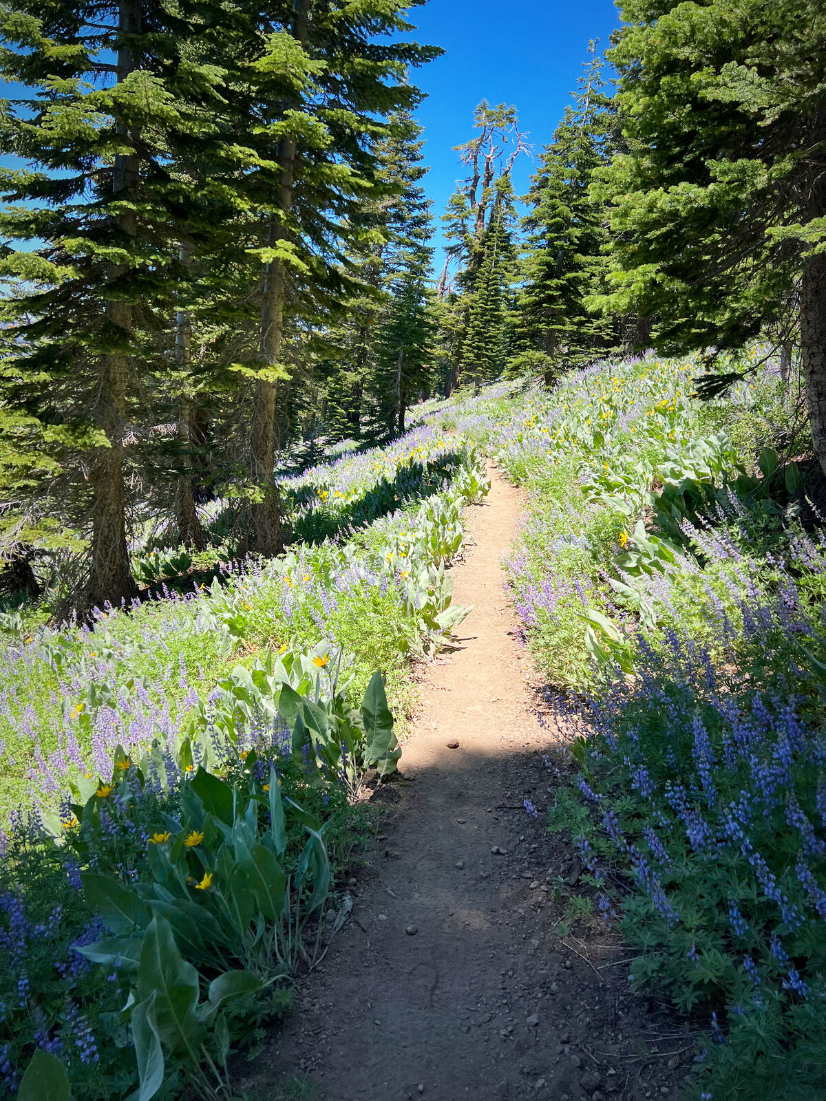
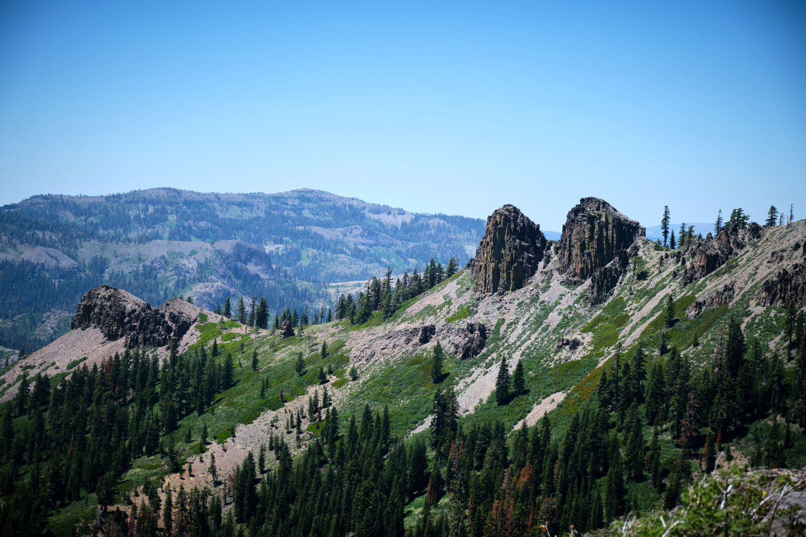
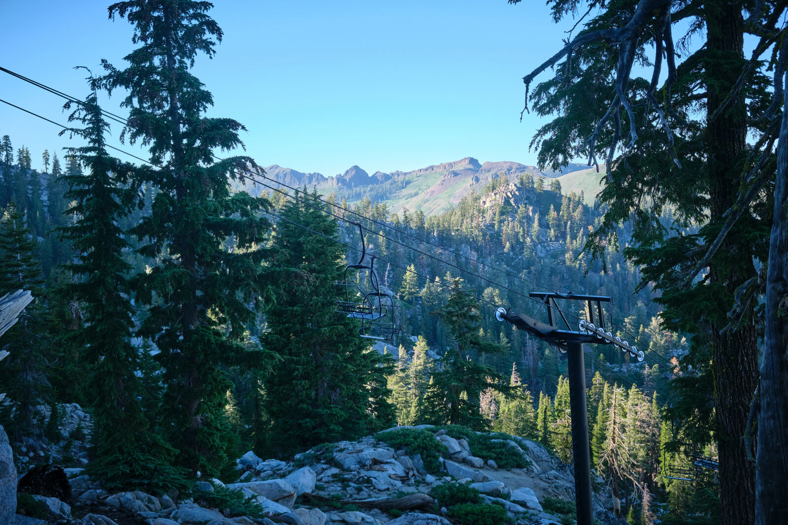
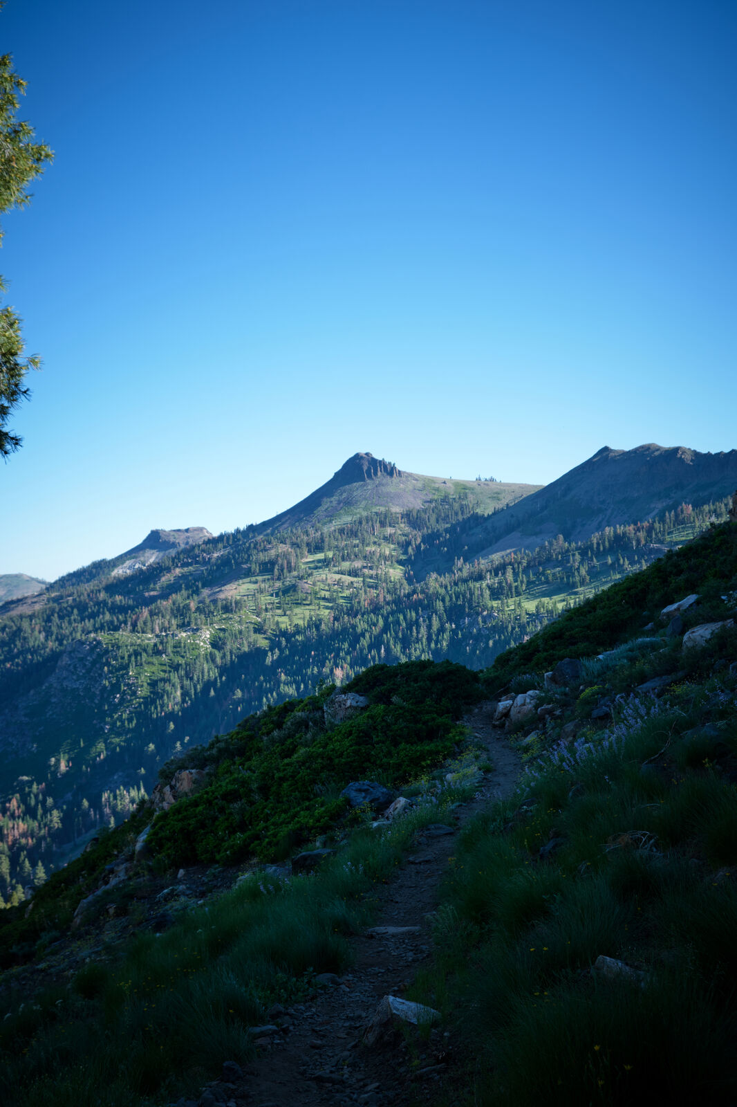
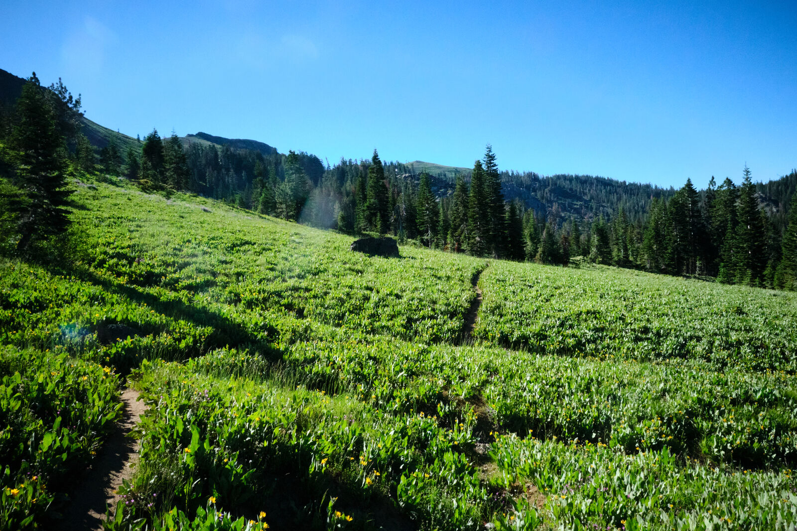
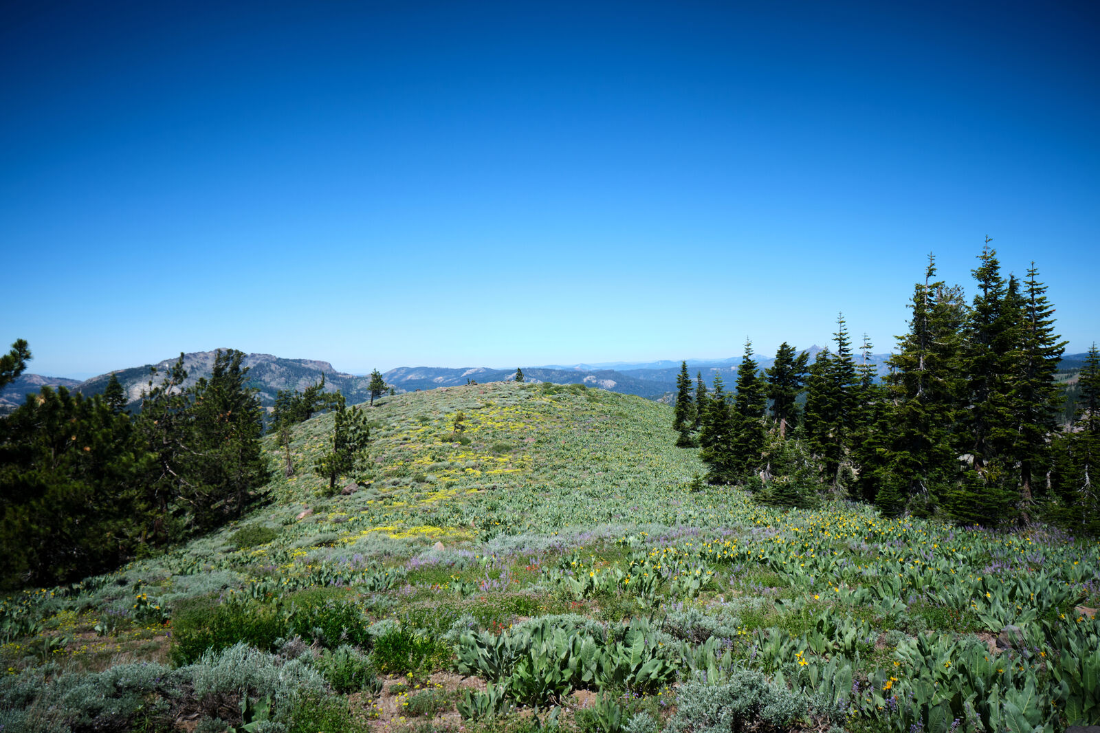
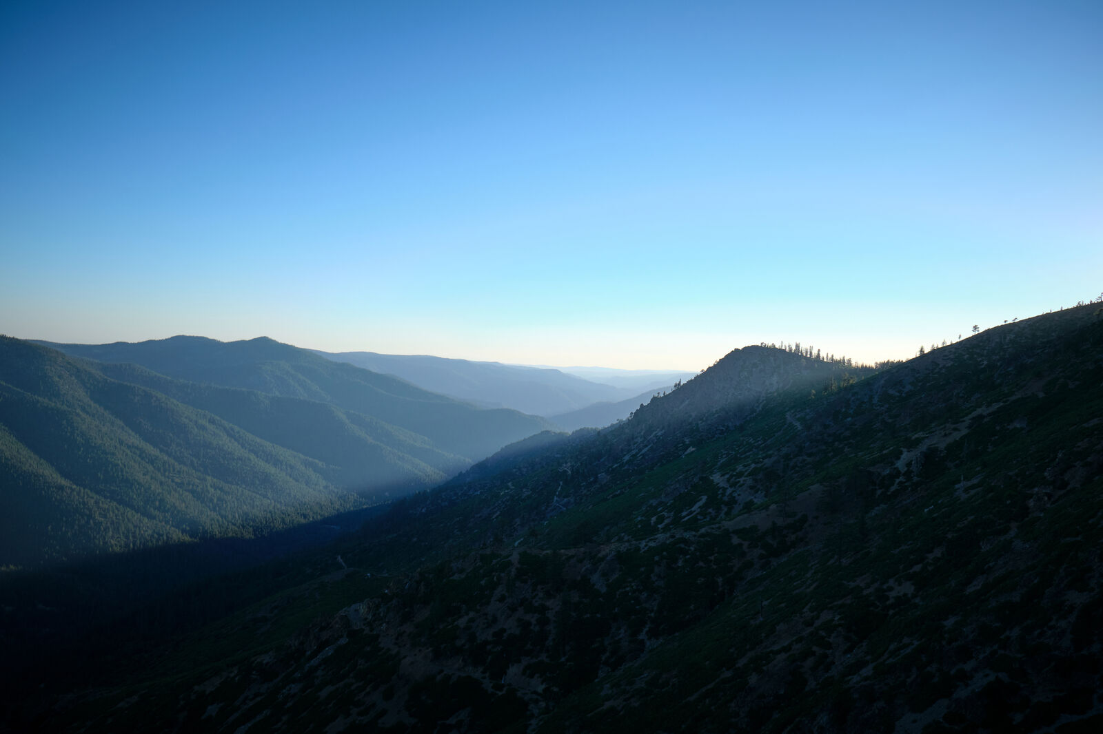
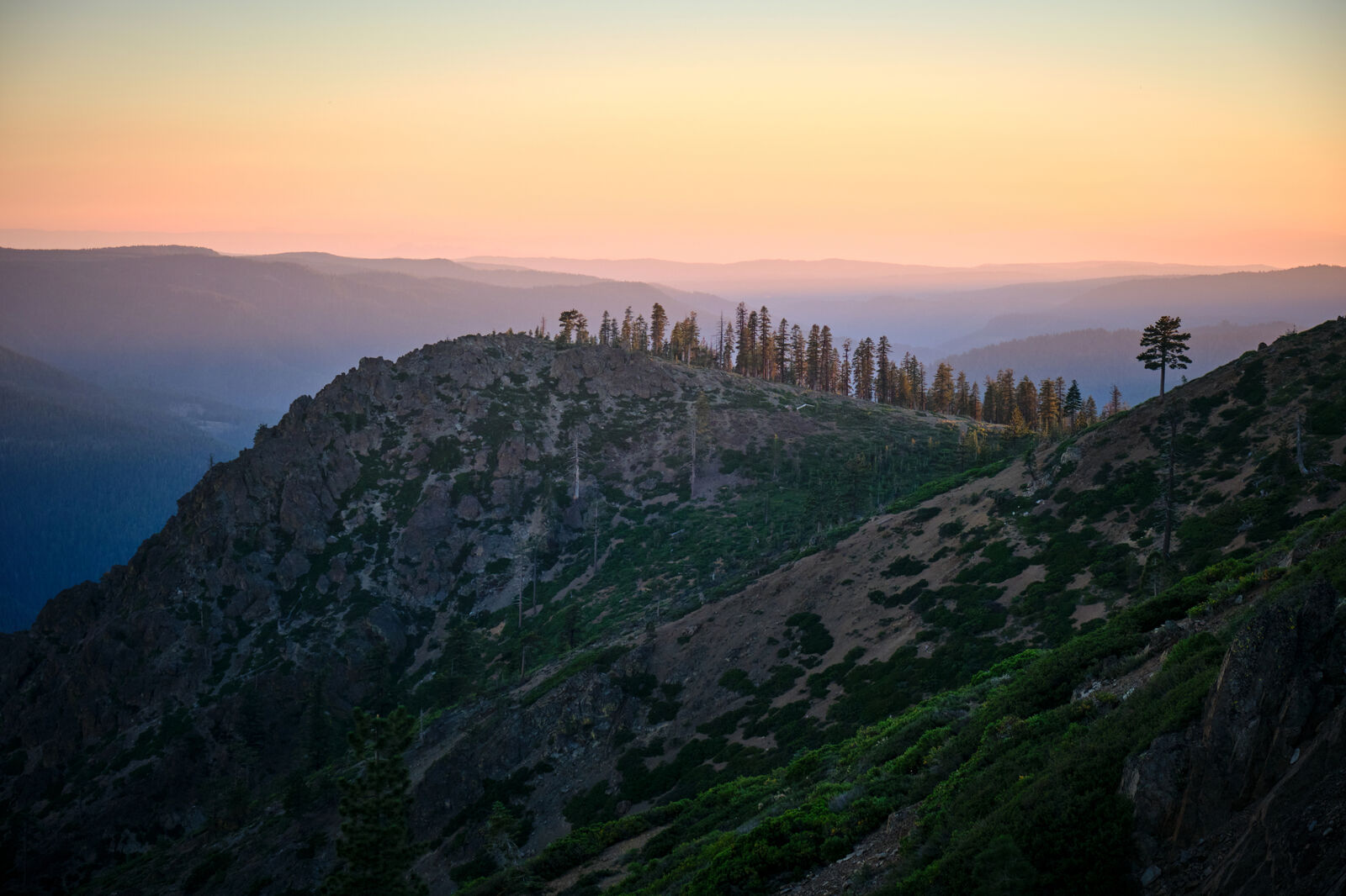
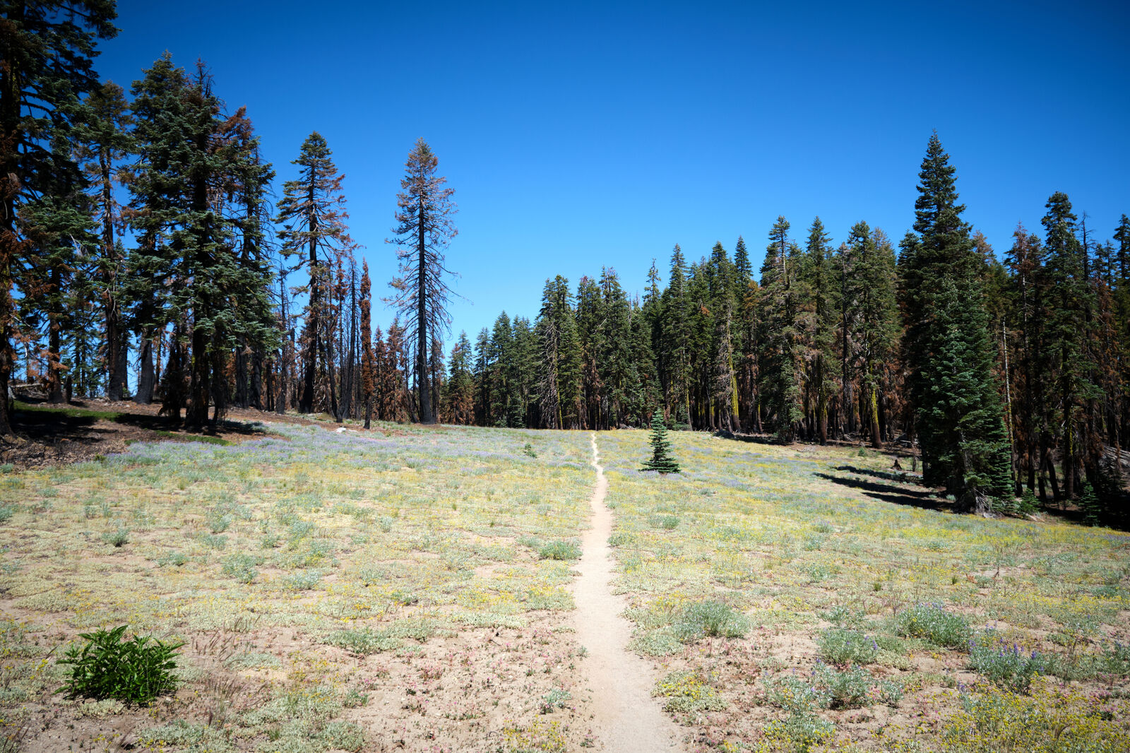
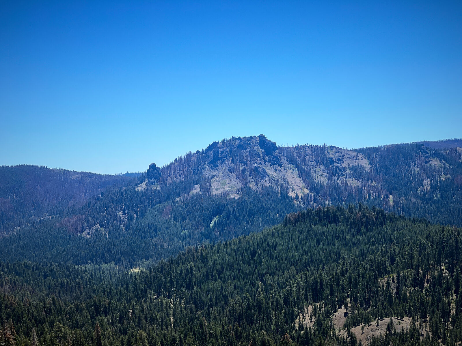
Leaving the Sierras, the views were still beautiful, but lacked the grandeur of the lofty peaks I had just spent the last few weeks hiking through. The trail led through meadows and out of season ski resorts, where we set up camp under some ski lifts.
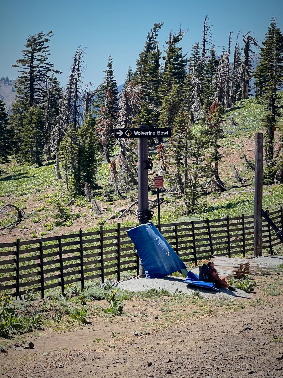
The day after we reached the infamous Donner Pass, where hikers are offered a free 40oz from the ranch. The ranch also had a buddy board, where people could leave each other drinks. I left a few drinks for hikers I hadn’t seen in a while that I knew were behind me. Giggles and I trudged through sewage filled tunnels underneath Highway 80, before climbing towards the Peter Grubb’s hut. As we did not have a reservation, we quickly peeked inside before camping at the springs just past it.
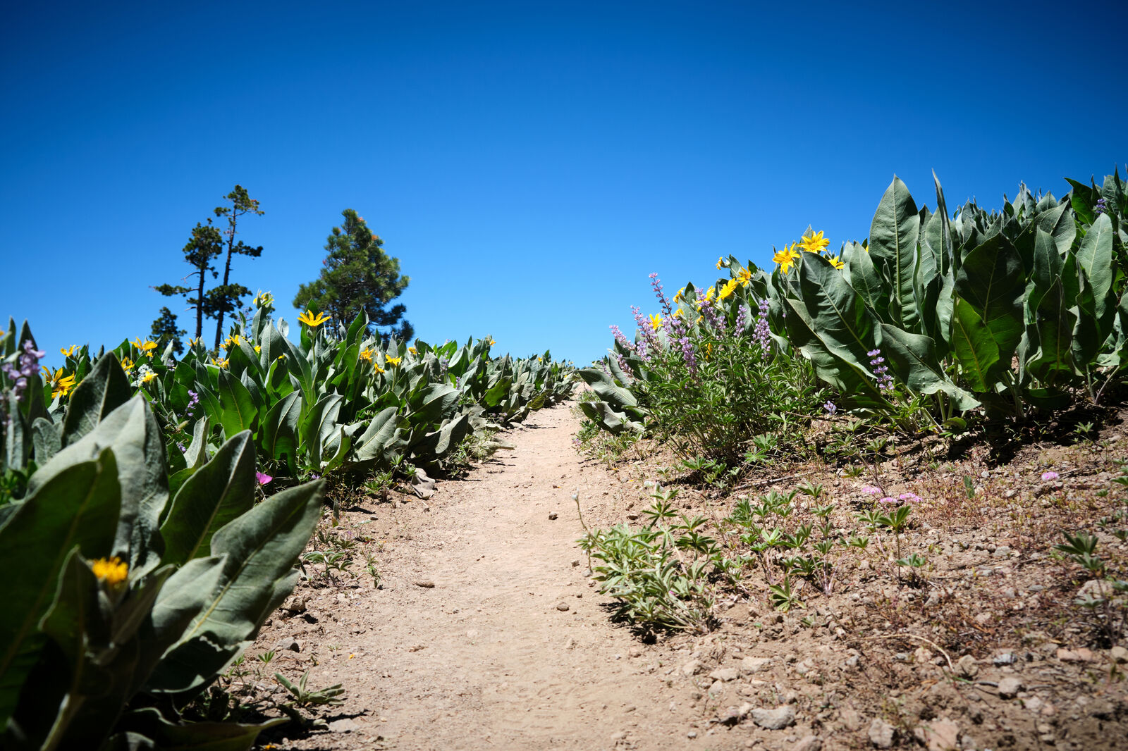
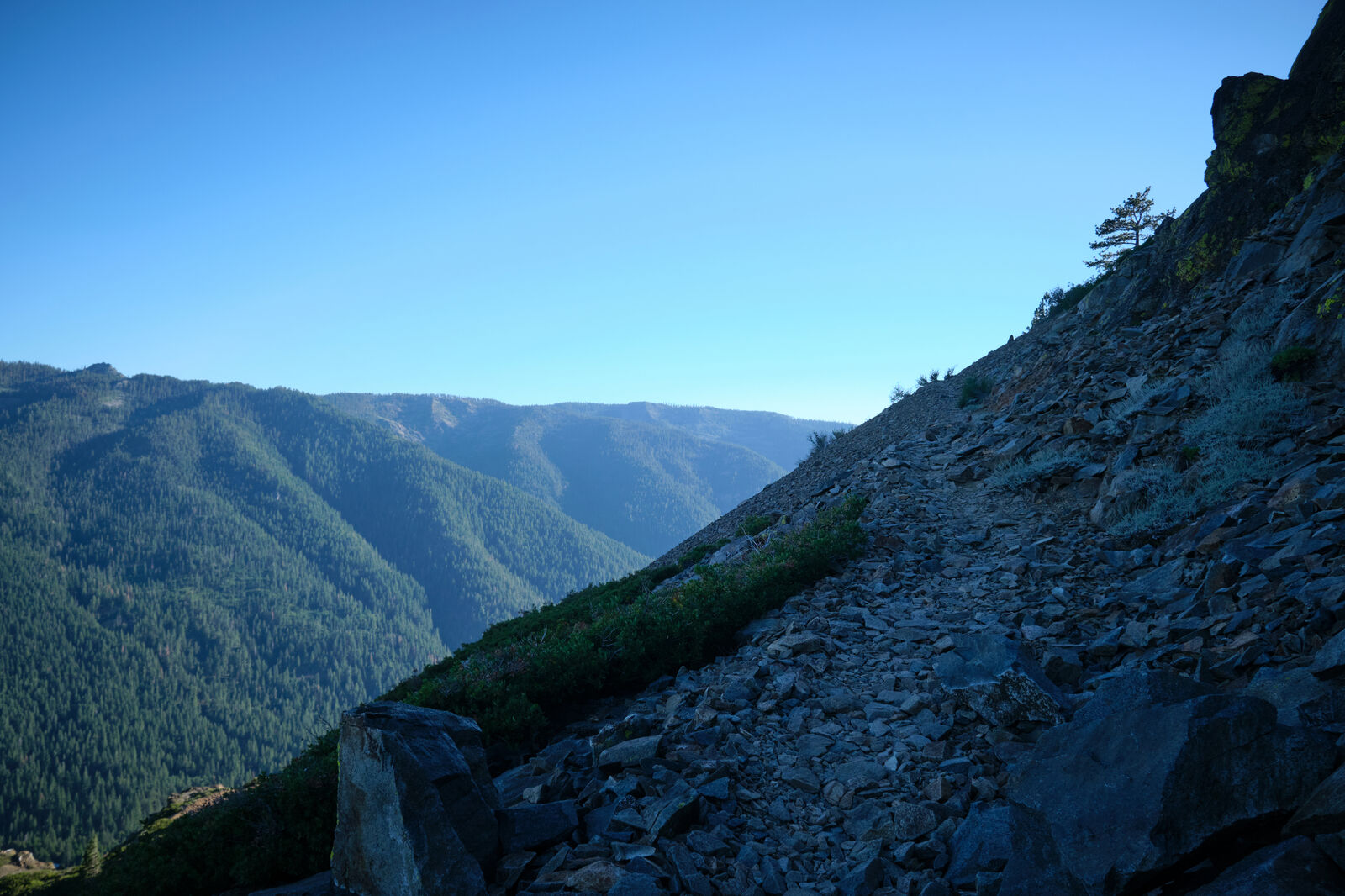
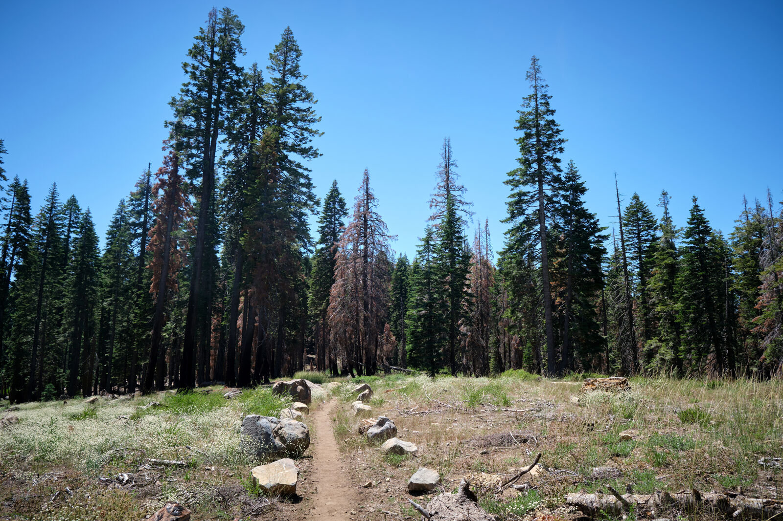
Giggles and I pushed hard to try and get to her first 30-mile day, but the day found us taking longer breaks than we thought. I also was bitten by an unleashed dog, but as it didn’t break skin, I let the owners know I was fine and we hiked on. Shortly after this, the trail became mostly scree, and every step went from manageable to excruciatingly painful.
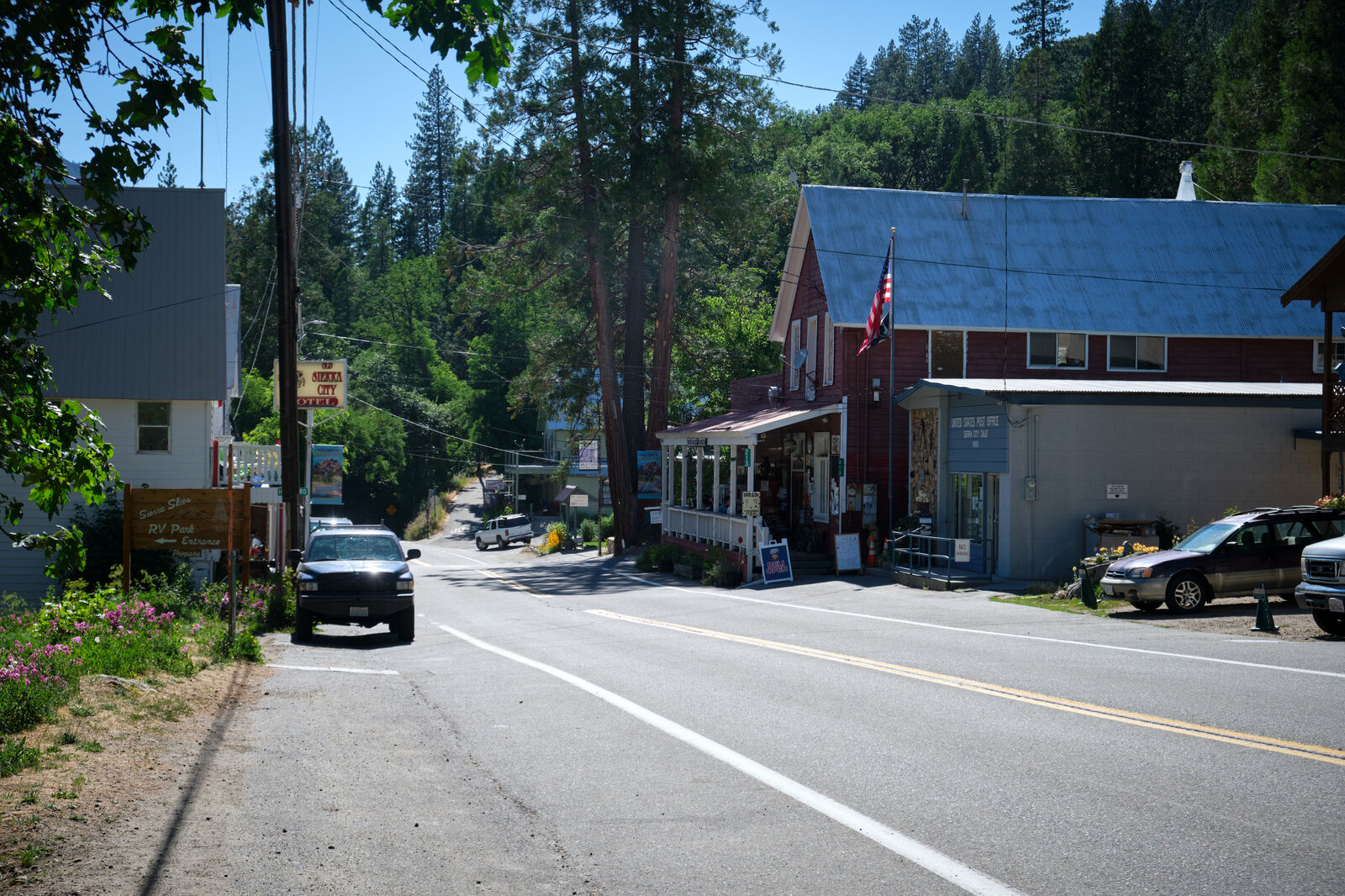
The scree continued until Sierra City, where we walked down the road into town and I found that my resupply box was missing. I did my best to resupply at the local store, but finding solid sources of protein was difficult. Giggles and I were planning to next resupply at Chester in 6 days, but I was skeptical about my chances. I made the best of the store, however, and purchased ice cream for the other hikers sitting outside the store.
While we cleaned up a bit, I was reunited with Aquawoman, who I last saw at VVR, and Butters, who I last saw in Julian. We hiked out together and once again returned to incredibly painful scree.
By evening, the other three were well ahead of me, so I navigated by myself around some furious campers as I got close to the top of the hill. On the other side, as darkness settled, I heard a voice call my name out, and Giggles guided me to where we were camping for the evening.
Much later in the evening, we were awoken by two headlamps, who then set up camp right in between myself and Butters. They also prepared and ate dinner next to us, meaning we were kept up fairly late. This led to some trail drama between Butters and the two hikers, McMansion and Honeybee, that I’d hear about for months.
Northern California was shaping up to be surprisingly tough due to the scree, but some well-positioned trail magic lifted my spirits. Aquawoman was also gifted half of a massive watermelon and did her best to scarf it down on her own. As a tiny petite woman, she ended up looking as though she had grown pregnant overnight.
The next evening, as I was a few miles back from the rest of the group, I turned the corner, only to be stopped by an extremely loud noise. I had initially thought this was a car backfiring, but soon realized that someone was firing into the woods, likely target practicing. I called out a “cease fire”, as the shots were crossing near the trail, but was only met with distant laughter, followed by continued shots.
Panicked, I climbed far up the ledge to my left, and though the shots eventually stopped, I set up camp on some rocks well above the trail. I messaged Giggles with what had happened and tried to coax myself to sleep.
With several days of poor sleep, I was starting to notice the lack of recovery. My feet were trashed, and every step was pure agony. As we were still a few days away from Chester, I let Giggles know I needed to pull off trail to the town of Quincy, and we parted ways. The rest of the trail family was nervous, but I reassured them she was in good company with Butters and Aquawoman.
In Quincy, I was briefly reunited with Yeezus, who helped me bring my groceries back to my hotel. I rested an extra day, and on my way out I saw Cooking Mama. He had temporarily been joined by his girlfriend and Magma had temporarily been joined by her father, so they weren’t hiking together at the moment, but planned to reunite later down the trail.
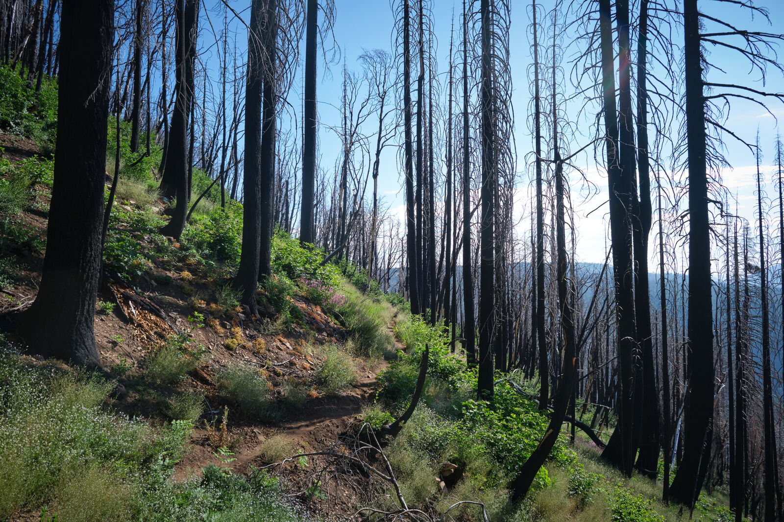
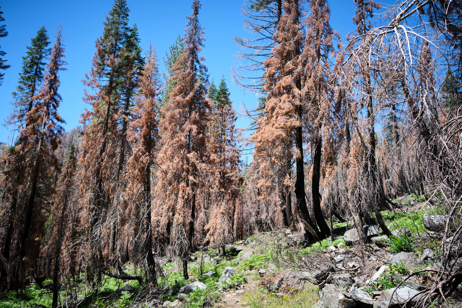
I left Quincy and almost immediately walked into the burn. The effects of the burn were severe, and in some ways this was a positive in terms of safety. So much had burned that there was little to fall on me. The trail went steeply downhill to the tiny outpost of Belden, only to climb steeply out the other end through more burn and plenty of poison oak.
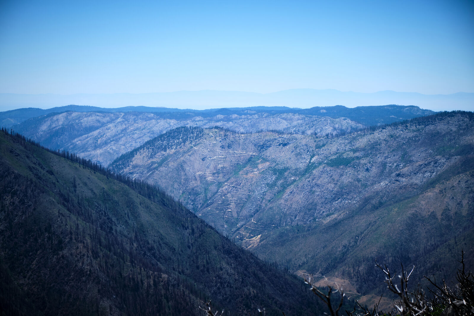
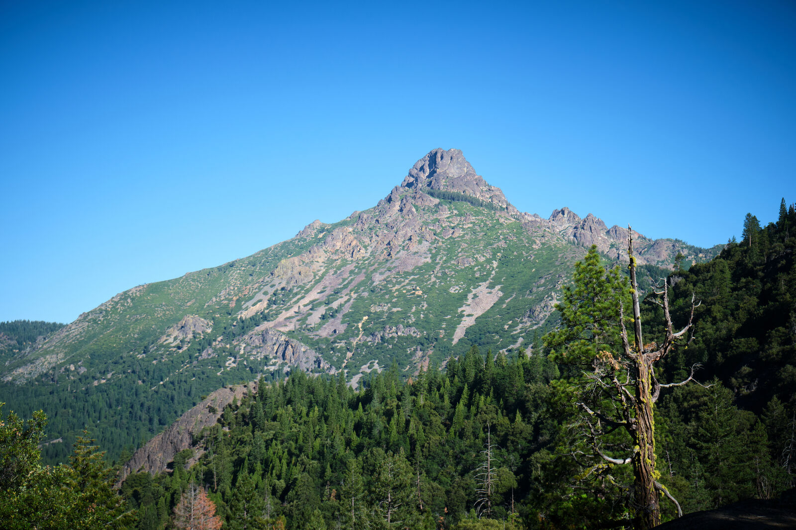
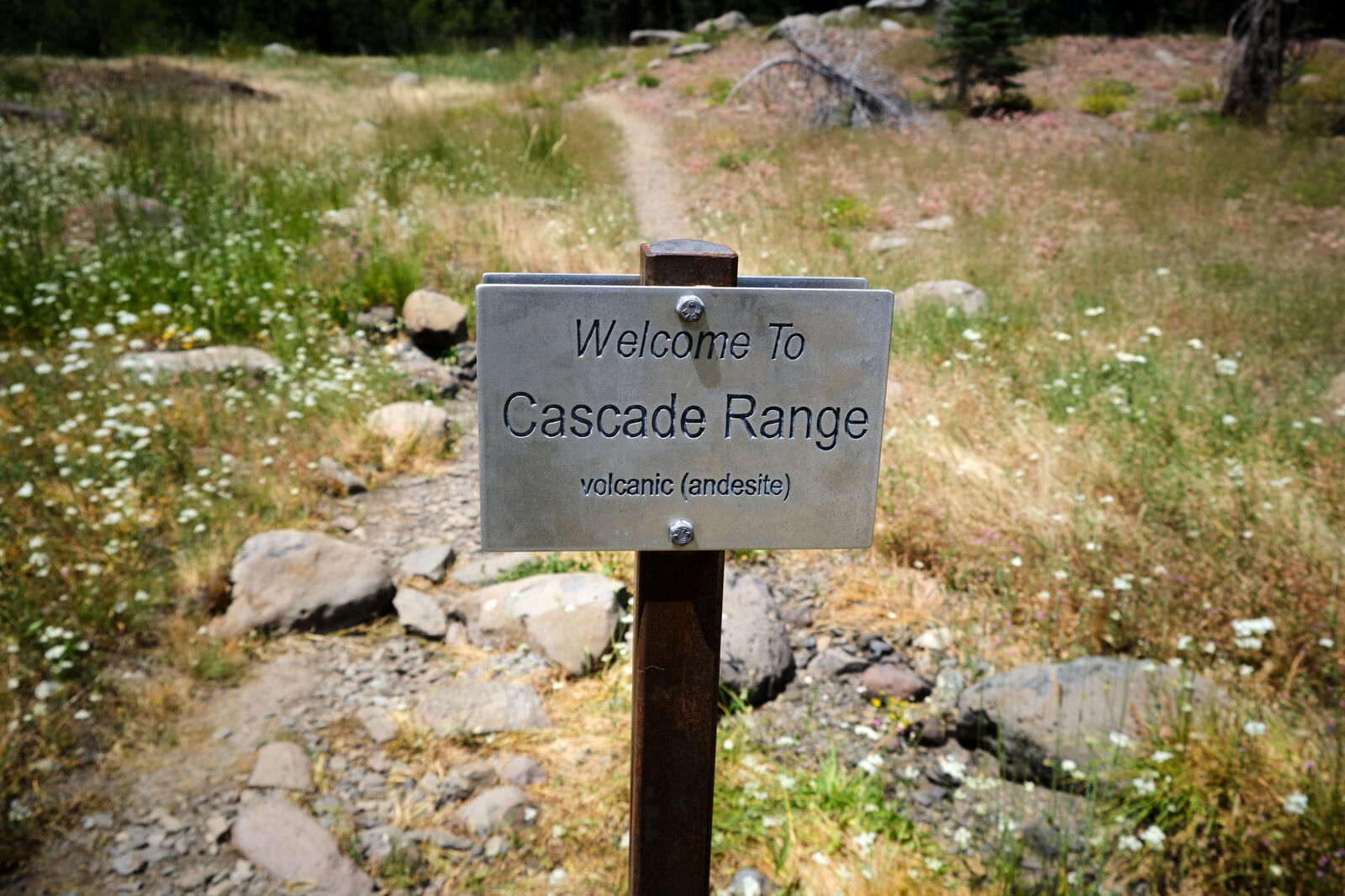
My feet were still aching, so I took the next few days slowly, with Ant Man and Black Widow eventually catching up and passing me. At some point, I left the geologic end of the Sierra Nevada and entered the Cascade Range, which would make up the rest of the PCT.
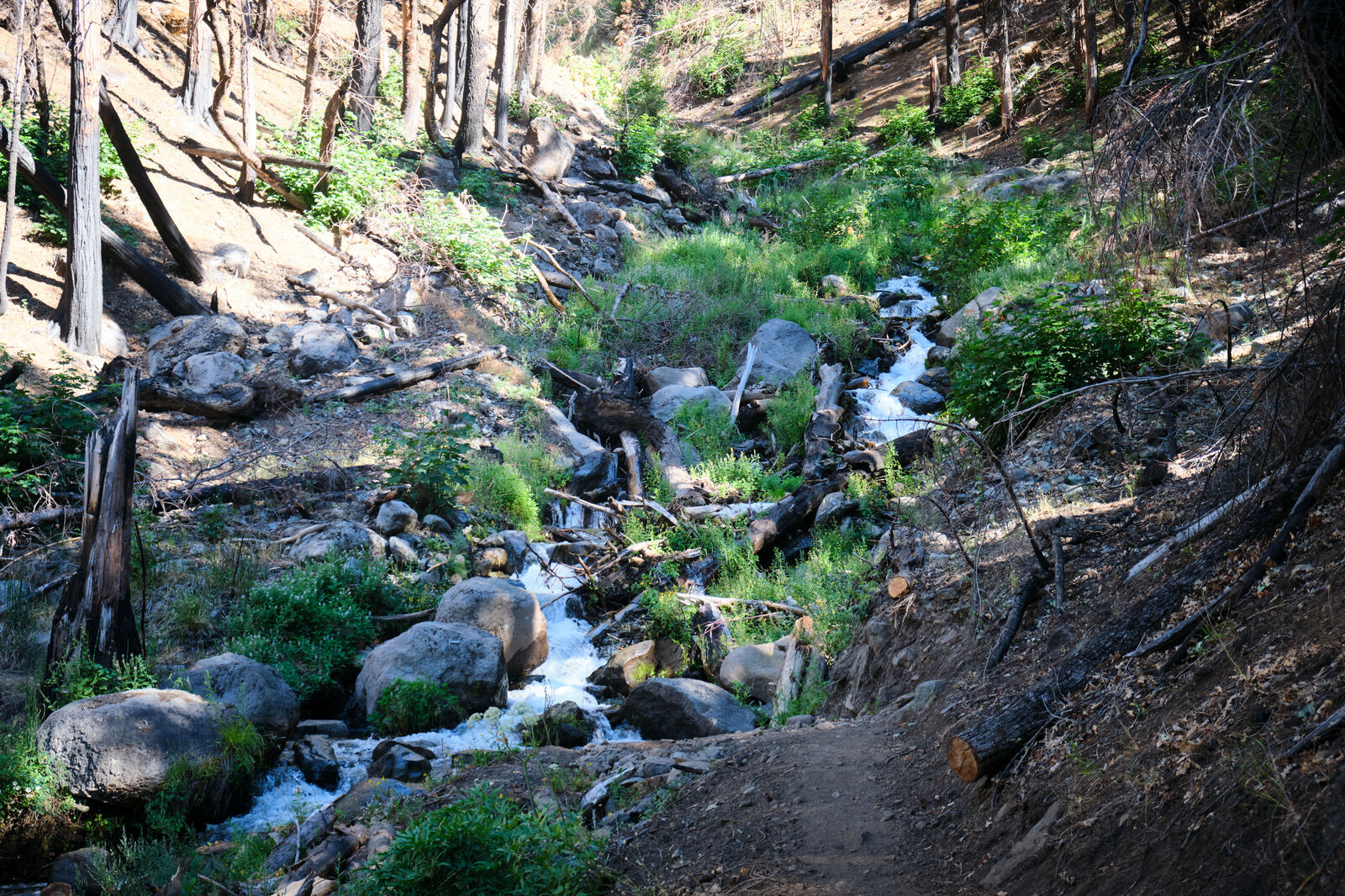
The burn was deeply depressing, and most nights I camped alone in spots where I wasn’t entirely sure if I was safe. A few miles before I would reach Chester, my original campsite plan of Soldier Creek turned out to be a bad idea, as trees threatening to collapse at any moment surrounded it. Oddly enough, someone had set up a tent there, and I quickly left once I heard them cackling to themselves.
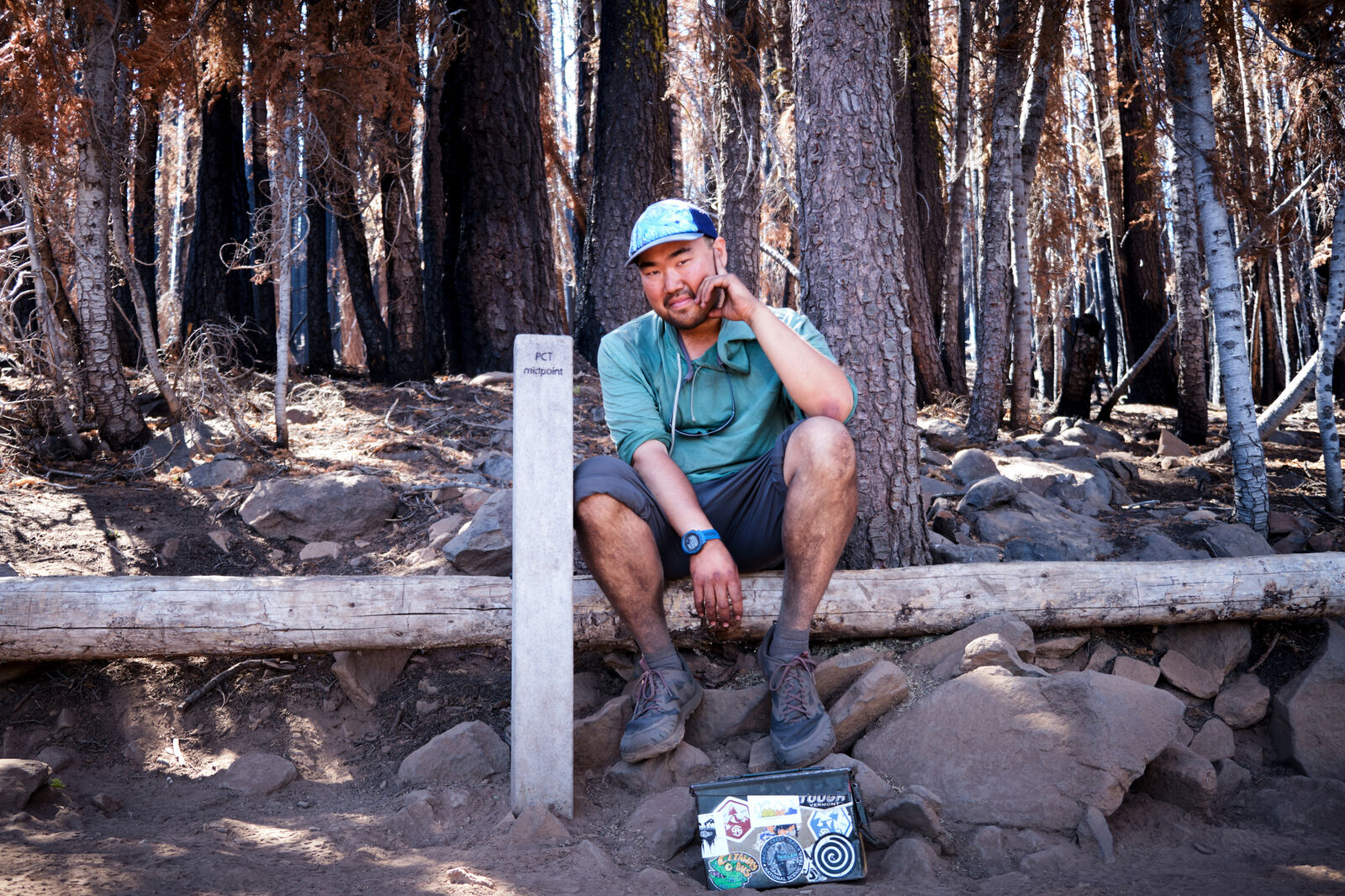
Just past the creek, I crossed the midpoint of the PCT and did my best to take a celebratory photograph at the halfway mark of my journey. I was still a little rattled by the camper at Soldier Creek, however, and my feet were killing me. I was also very nervous about where to camp that evening, as much of the remainder of the trail between here and Chester was off-limits for camping.

Passing through private cow fields that graciously allowed hikers to pass through, I entered National Forest territory and checked my map for what sections I could camp on. Eventually, I found a tiny spot that would fit me, though it was still under some trees that I could not discern the health of. The evening settled in, and I was treated to demonic cows mooing their displeasure, wolves howling their intent to feast, and the farmer’s dogs barking back their warnings.
The next morning, I reached the road leading to Chester and quickly got a hitch from the owner of the Antlers Motel, who was dropping Floss off. We joked about how we never actually saw the other person on trail. At this point, the majority of the burn areas were finished, and I just needed one last burst of energy to get me through.