Chapter 5: Kennedy Meadows to Bishop
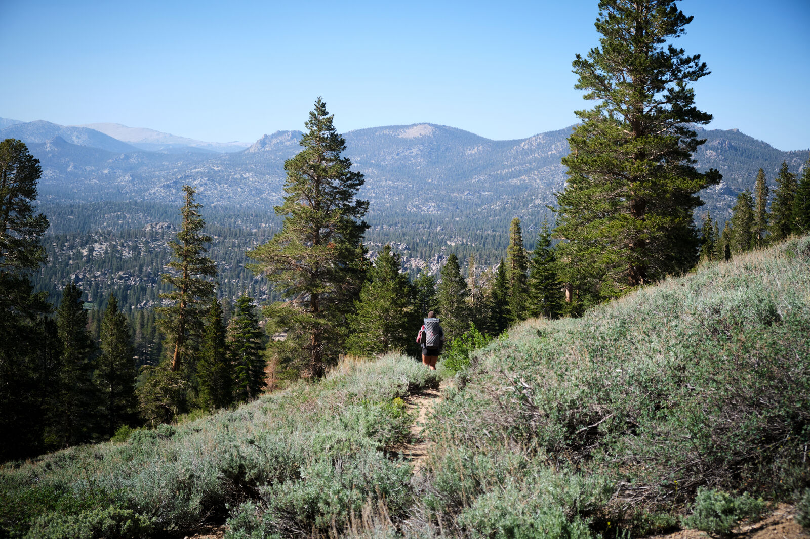
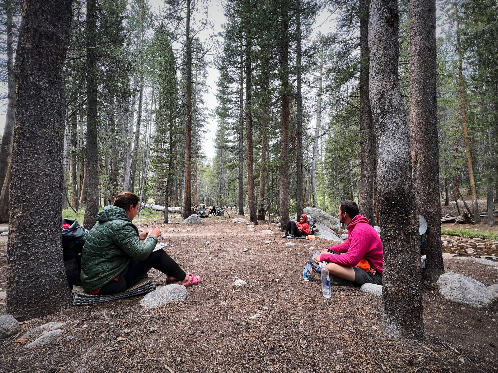
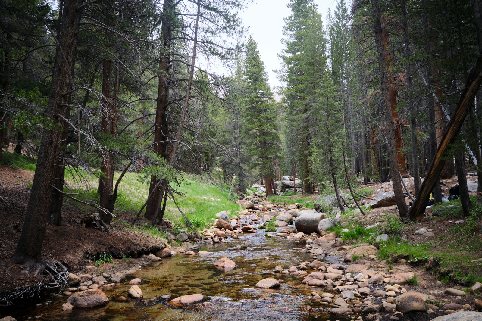
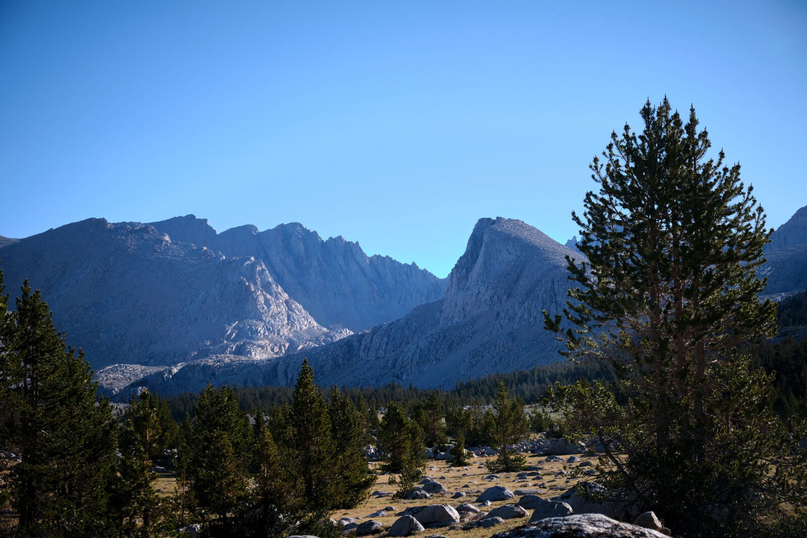
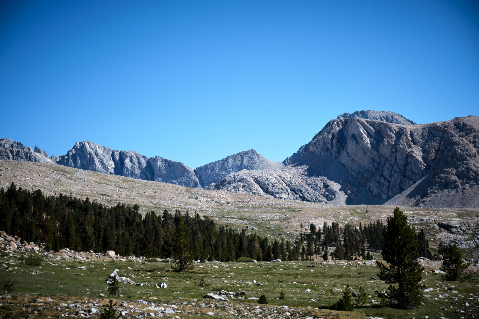
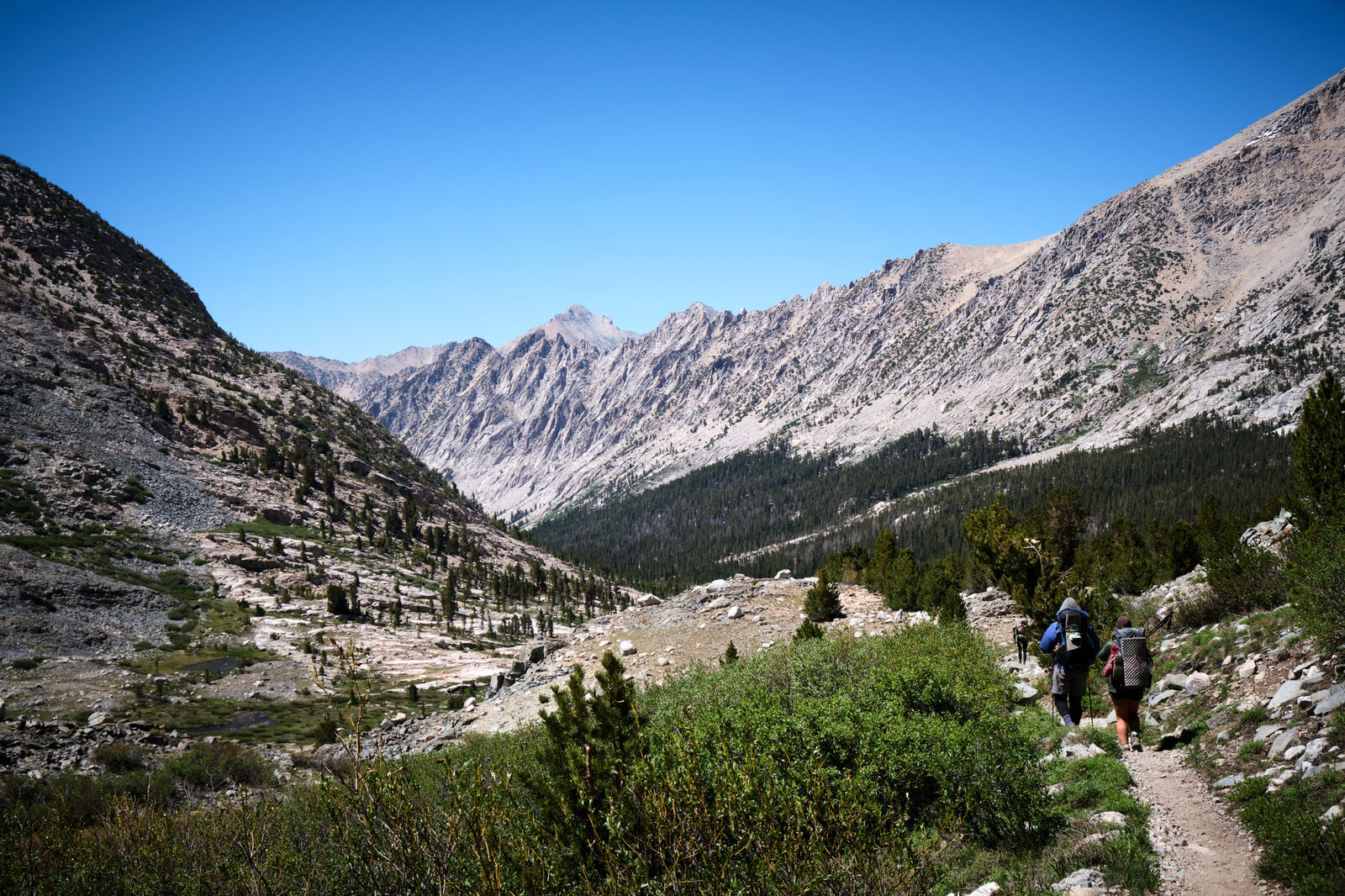
The first few miles out of Kennedy Meadows felt suspiciously like the desert still. Once we entered Inyo National Forest, however, the landscape changed drastically, with beautiful meadows and creeks pressed up against the Sierras.
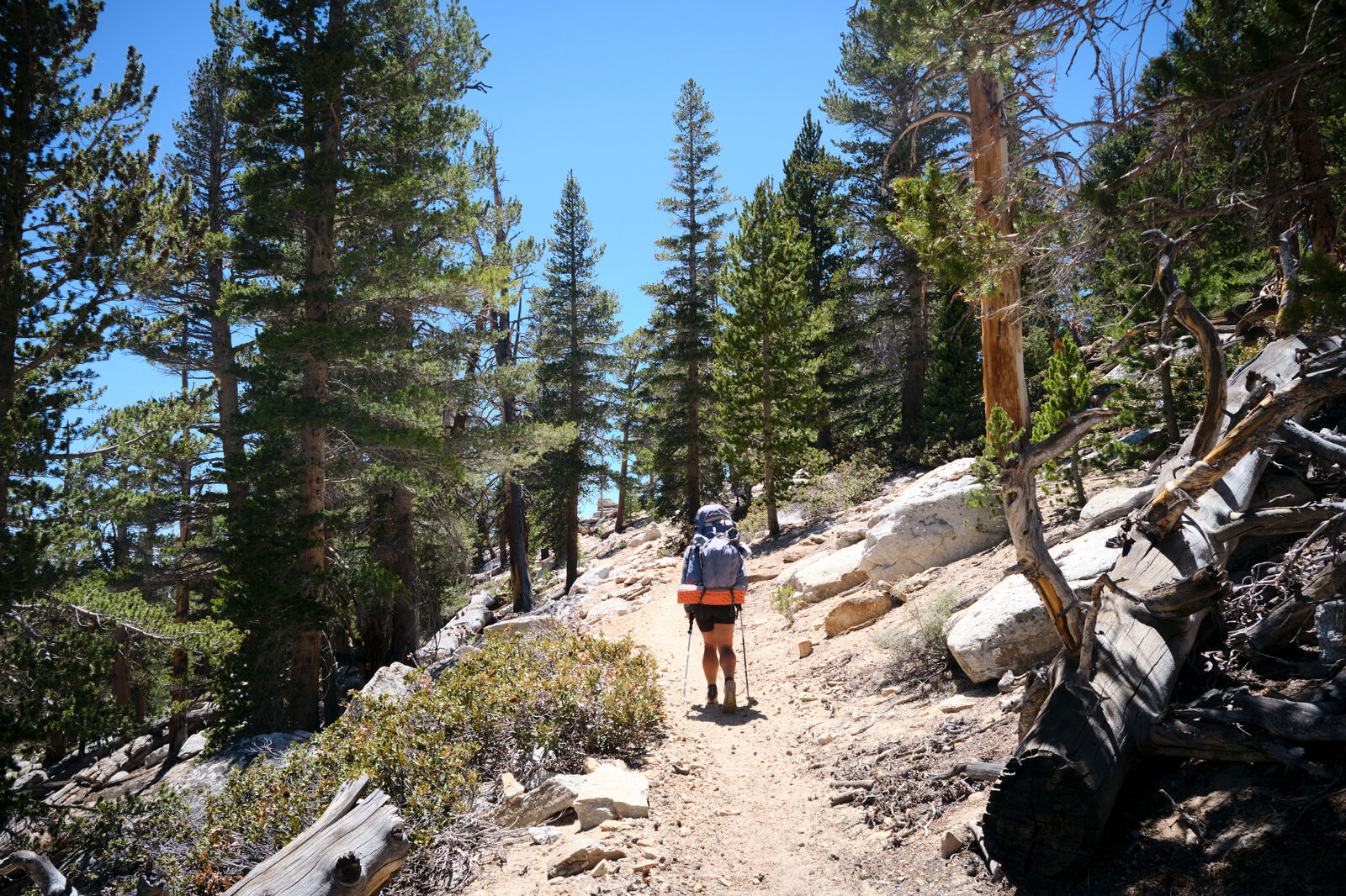
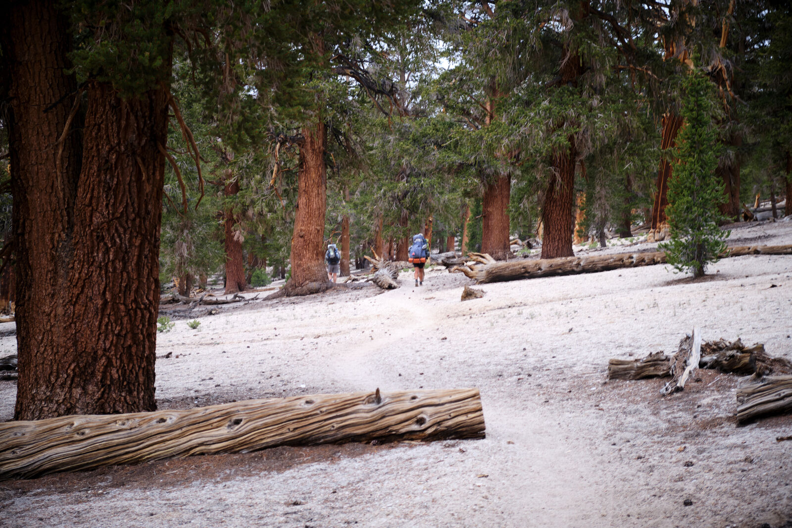
Despite the added elevation gain and rugged terrain, entering the Sierra Nevada was a rejuvenating experience. Early on, we met Gibb, who taught us about the flint all around us, as well as Shapes, who shared some incredible banana bread his mother had sent him.
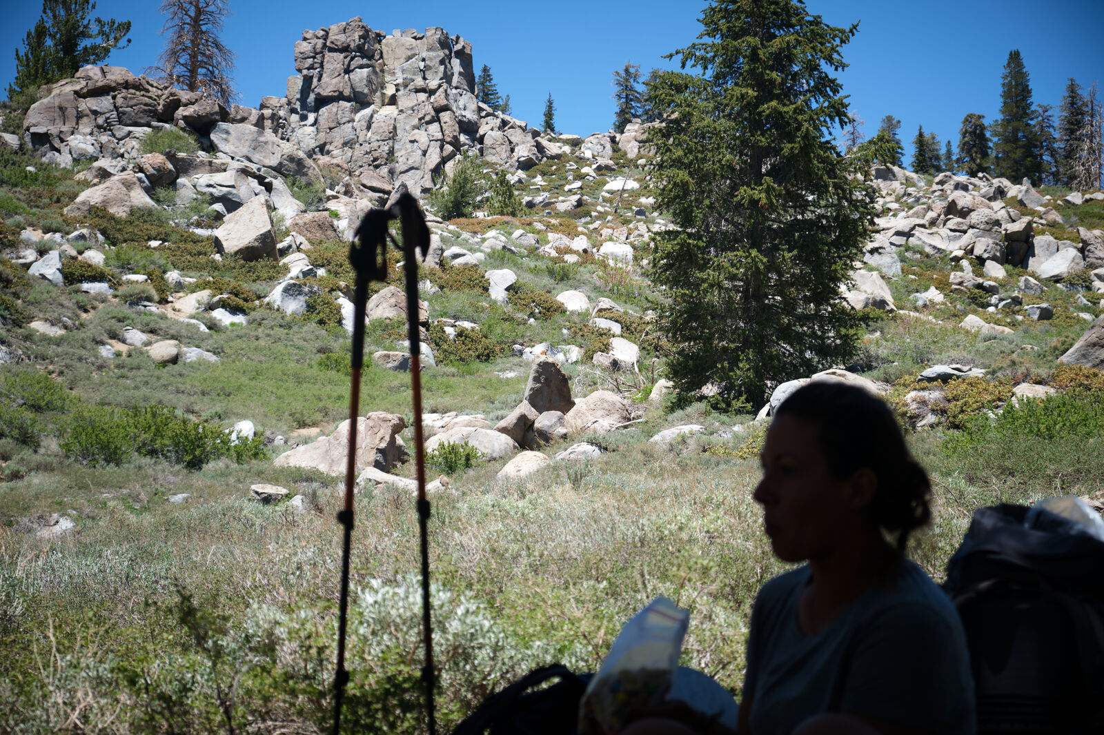
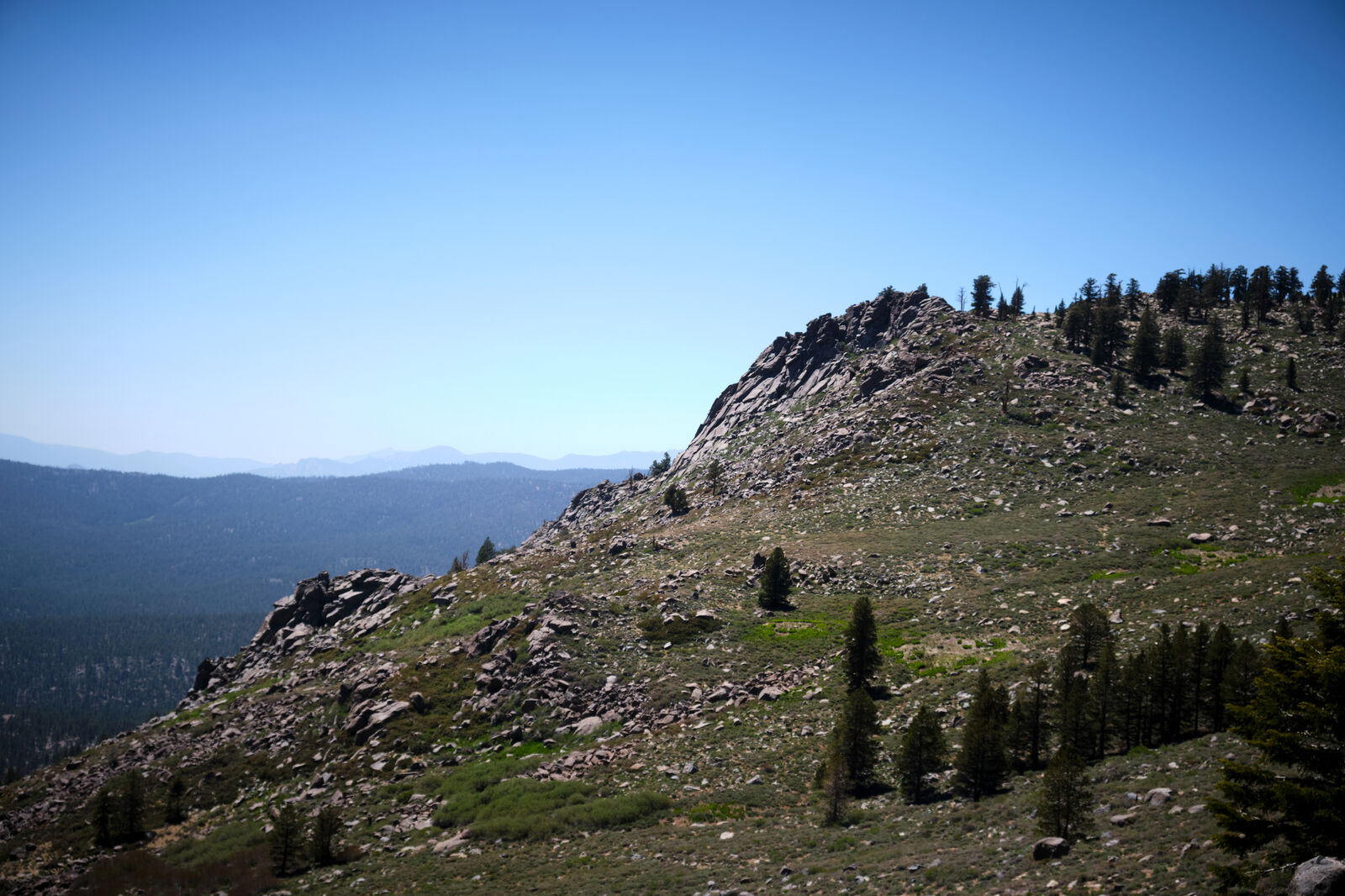
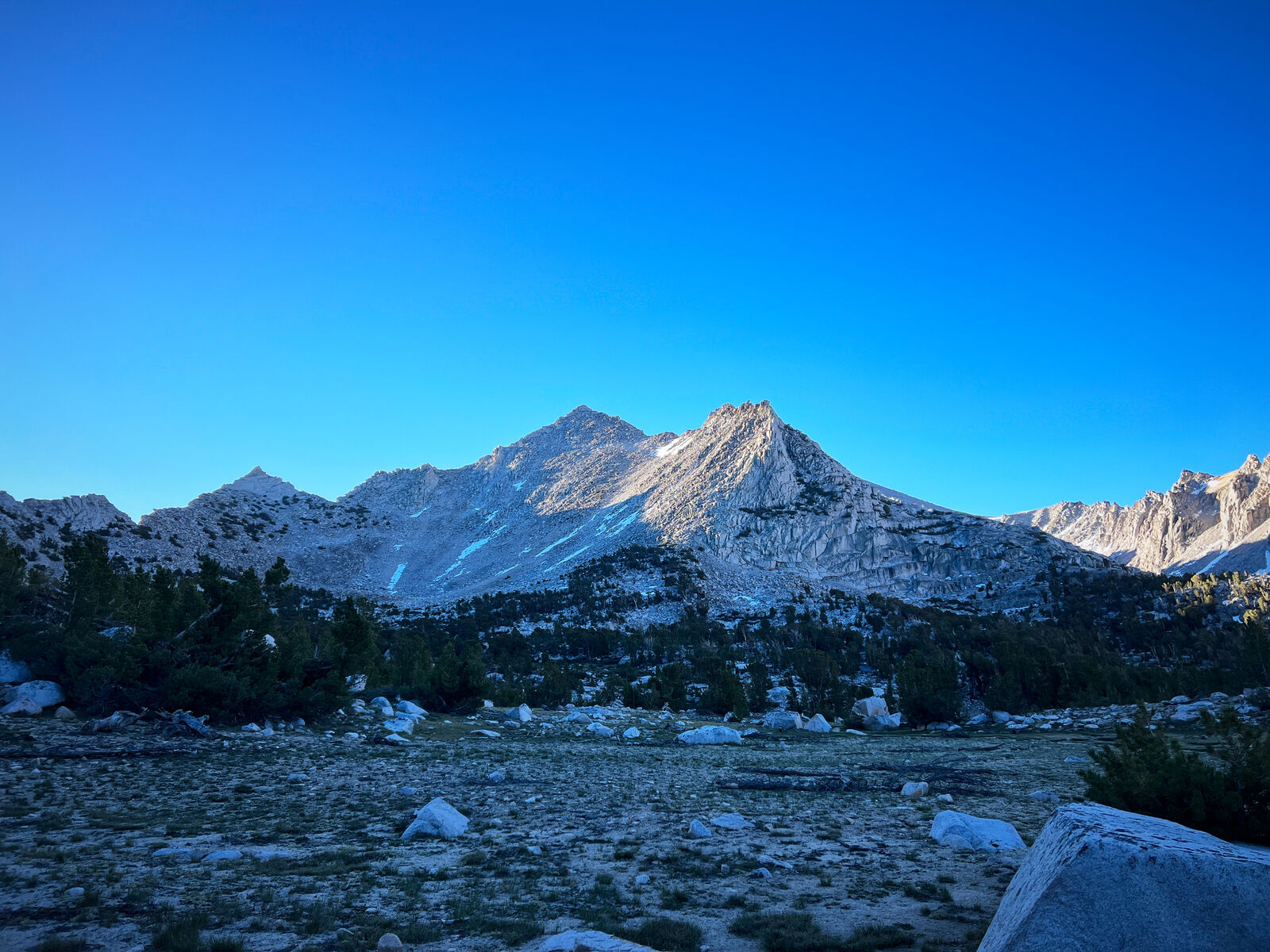
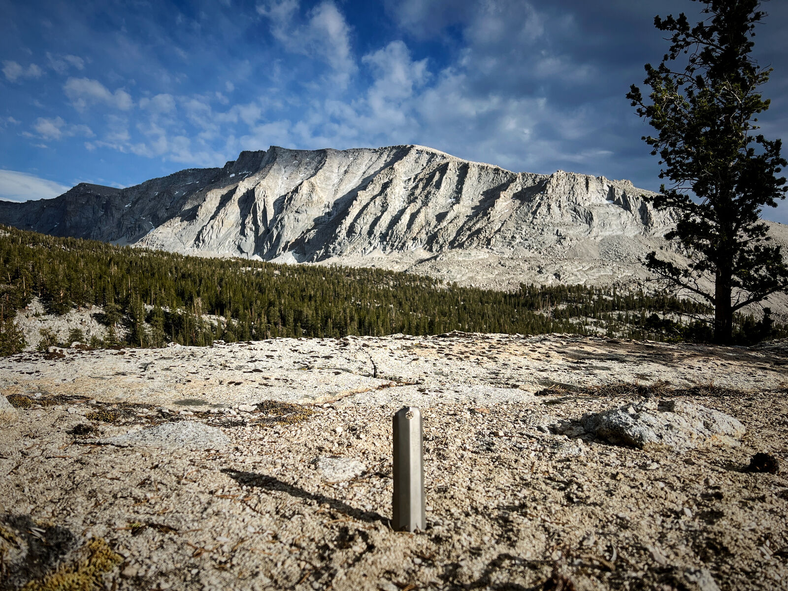
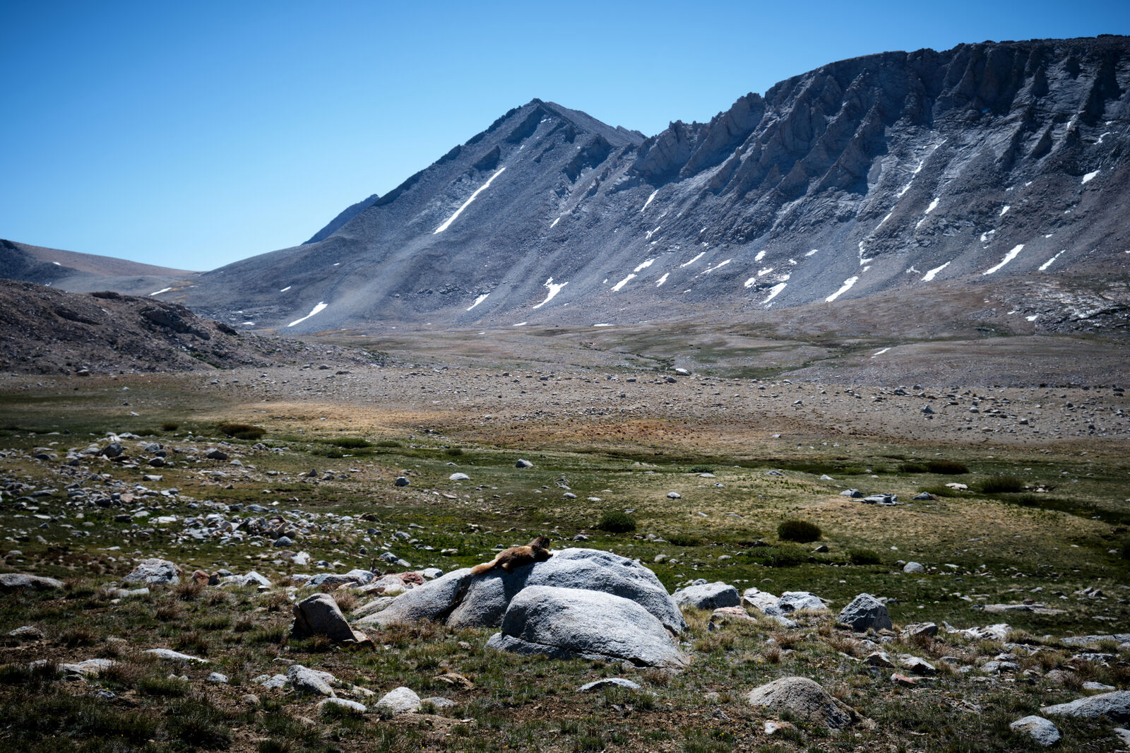
A strong 45 miles into the Sierra Nevada, we pushed up to 12k feet of elevation, where the group finally felt the lack of oxygen. The temperature cooled dramatically, partially because of an incoming cold front.
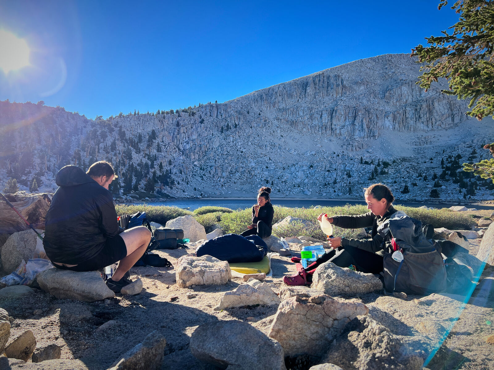
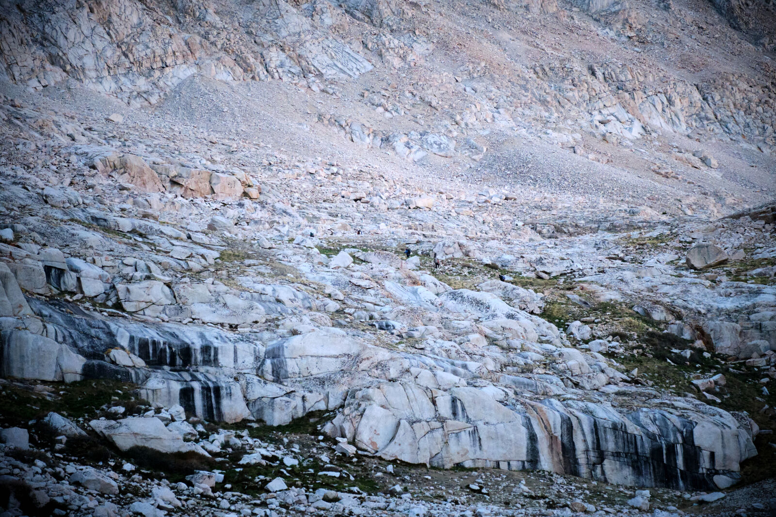
Here, however, we came across our first alpine lake: Chicken Springs Lake. The lake was freezing cold, but I still soaked my feet to help them reduce in size, as my foot size had grown a full size since starting. Ant Man and Giggles, being insane, dove straight in.
The lake was beautiful, but unfortunately a bit trashed due to being a popular spot. Upon finding fecal remains hidden among the rocks, I quickly discarded my first campsite choice.
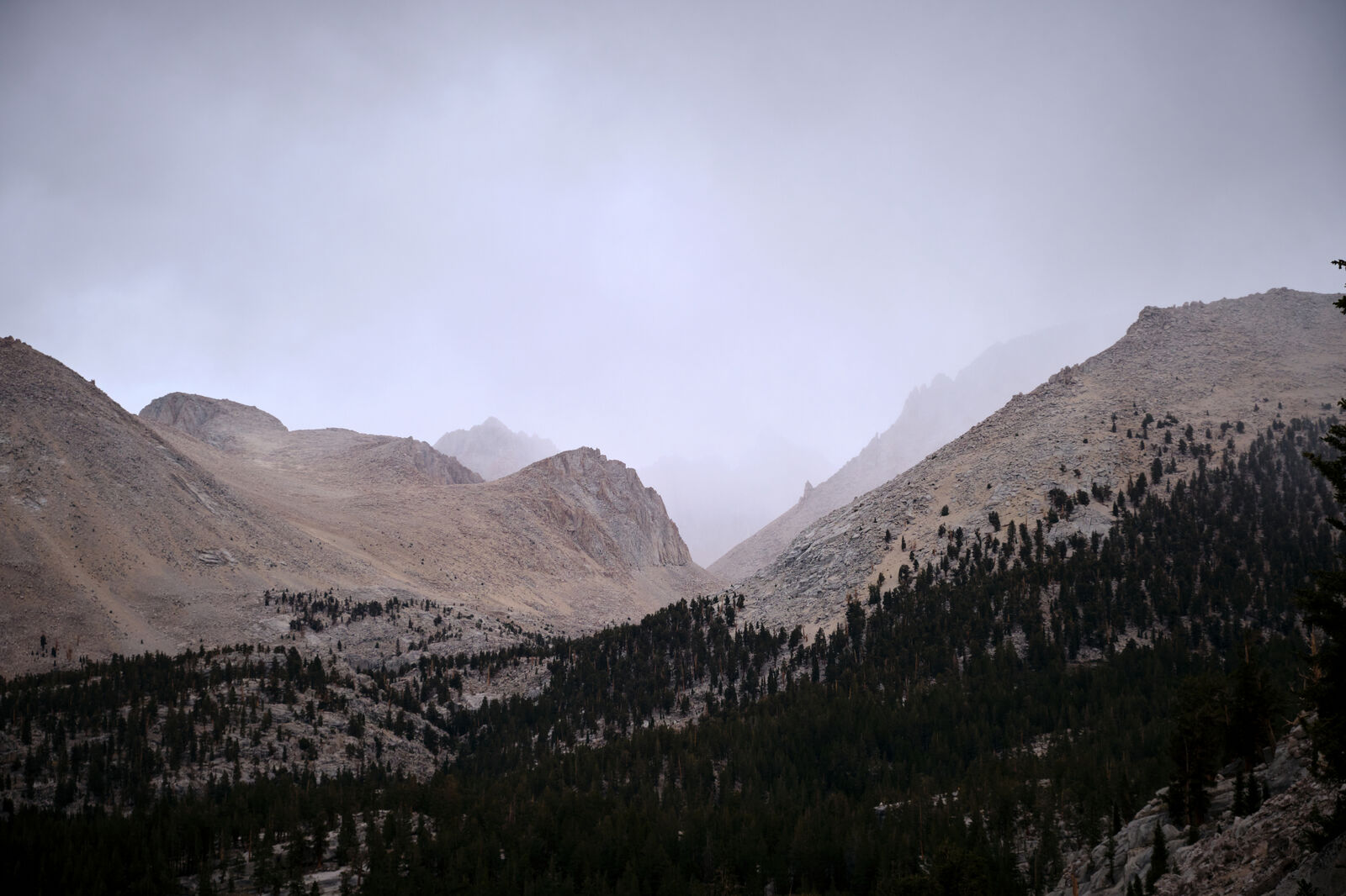
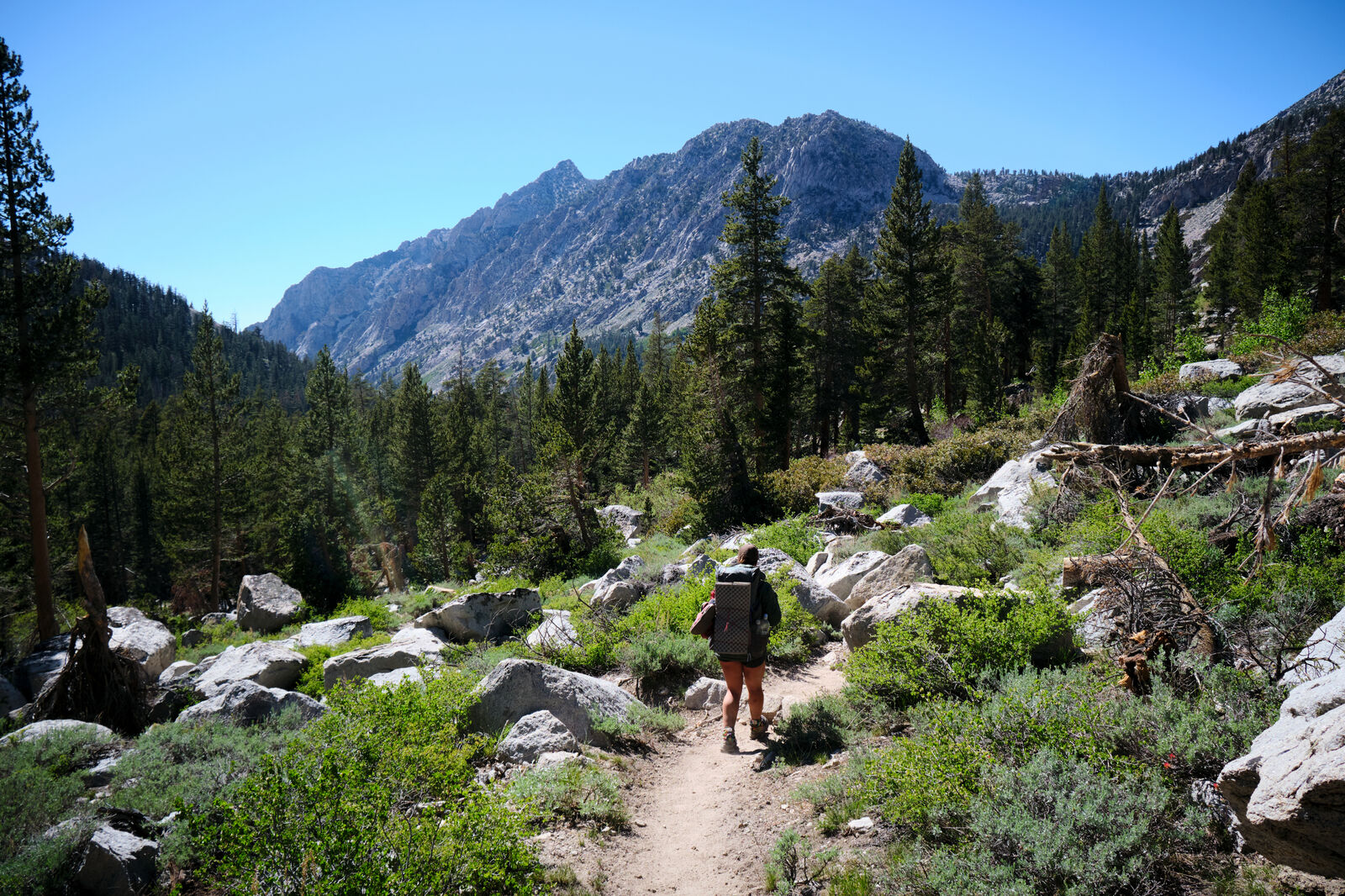
The next morning was cloudy and frigid. This was the first day on trail without clear blue skies and we were glad for our warmer clothing. I unfortunately realized that I had eaten through my food much more quickly than I had expected, and while the exit to Bishop was only a few days away, we also wanted to add the optional trek to Mt Whitney - the highest point in the continental US.
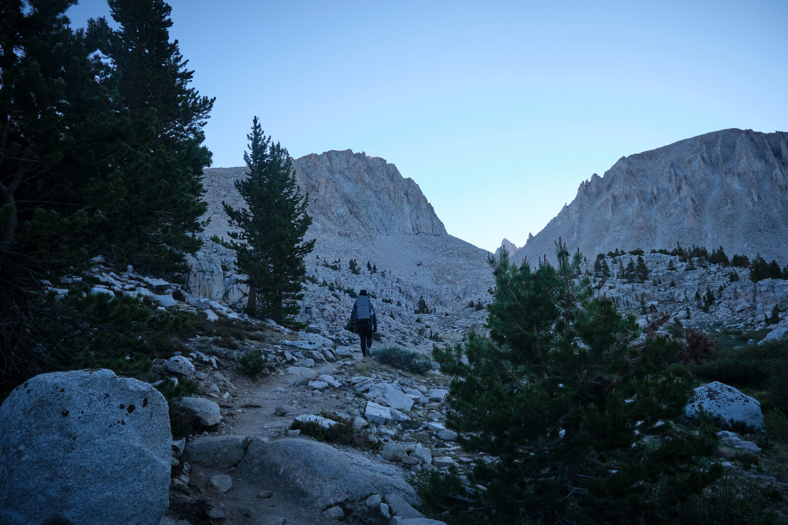
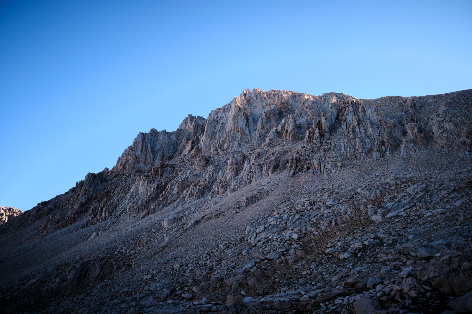
At the junction to Crabtree Meadow, we took the turn towards Mt Whitney and set up camp at the base. We originally planned to start the climb shortly after midnight to reach the peak at sunrise, but as the temperature plummeted quickly to 20 degrees and multiple climbers of Mt Whitney the day before our ascent required medical assistance due to hypothermia, we thought better of our original plan.
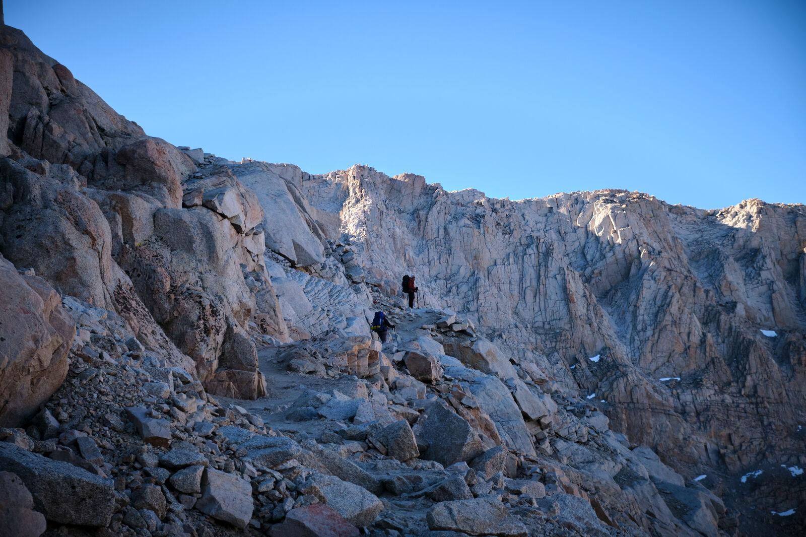
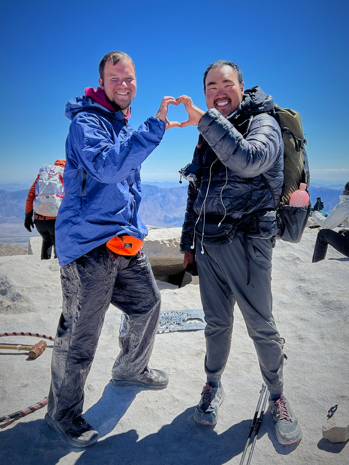
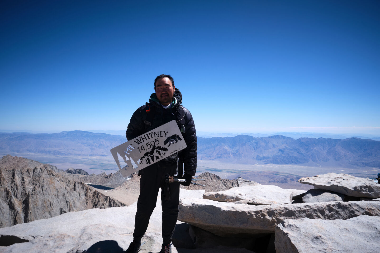
Instead, we woke to a frozen and dark meadow just before sunrise and gingerly packed every extra layer of clothing and insulation we could as we began the steep climb up to the peak of Mt Whitney. Running out of food, I ate a single poptart and saved the rest of my food for the following days and used what little energy I could muster to trudge up Mt Whitney, desperate for the sun to come out.
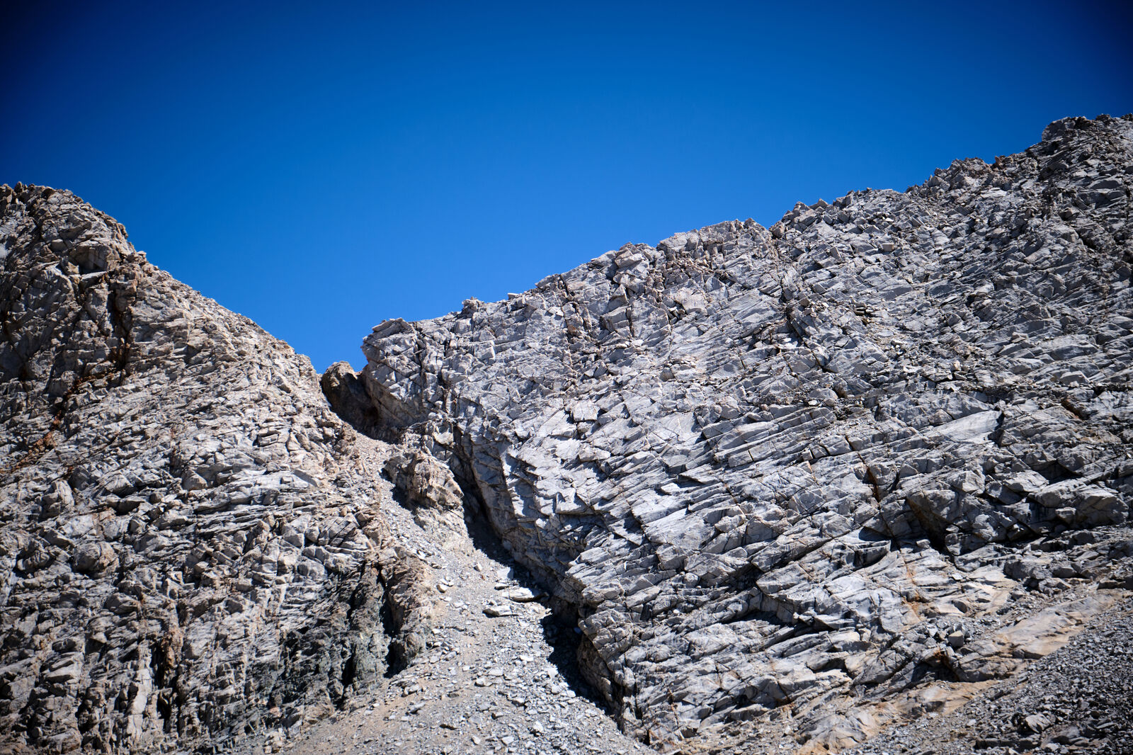
On the way up, I met quite a few John Muir Trail hikers, as Mt Whitney is the southern terminus of that trail, and I did my best to keep a smile on my face as I congratulated them for being so close to the end. Past Guitar Lake, we climbed up an endless series of steep switchbacks and cut across a ledge covered in ice.
At the top, we reached 14,505 feet and the sun finally warmed us up. I found Foxy and Trippy cuddled up under a sleeping bag, crying to their favorite soundtrack. All of us rested for a moment, exhausted, but before too long, we needed to get back down as the weather worsened.
Once I returned to Crabtree Meadow, I briefly reunited with Cool Rocks before I weakly attempted to continue to the PCT. I hiked a few miles on my own before setting up camp alone.
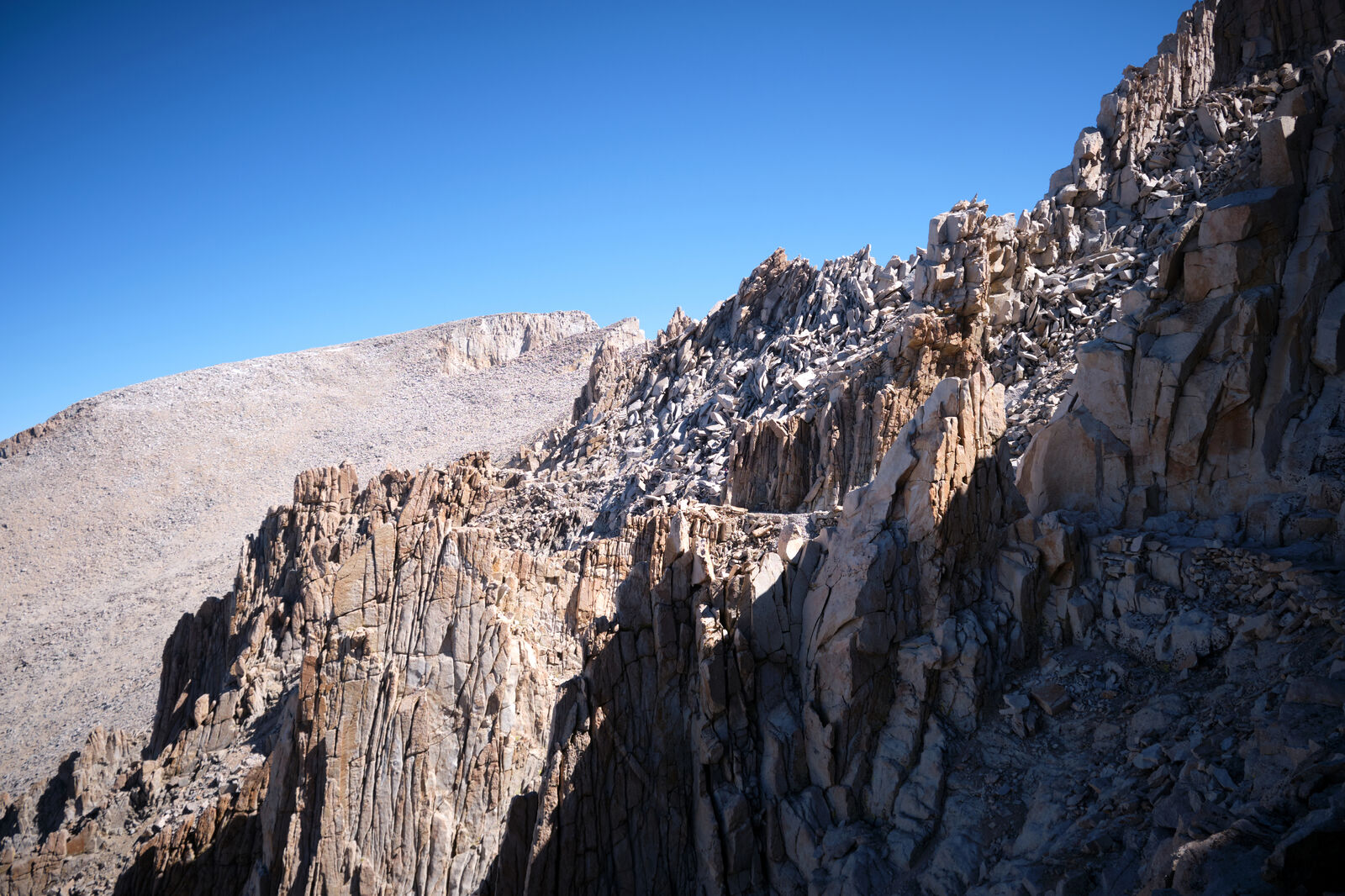
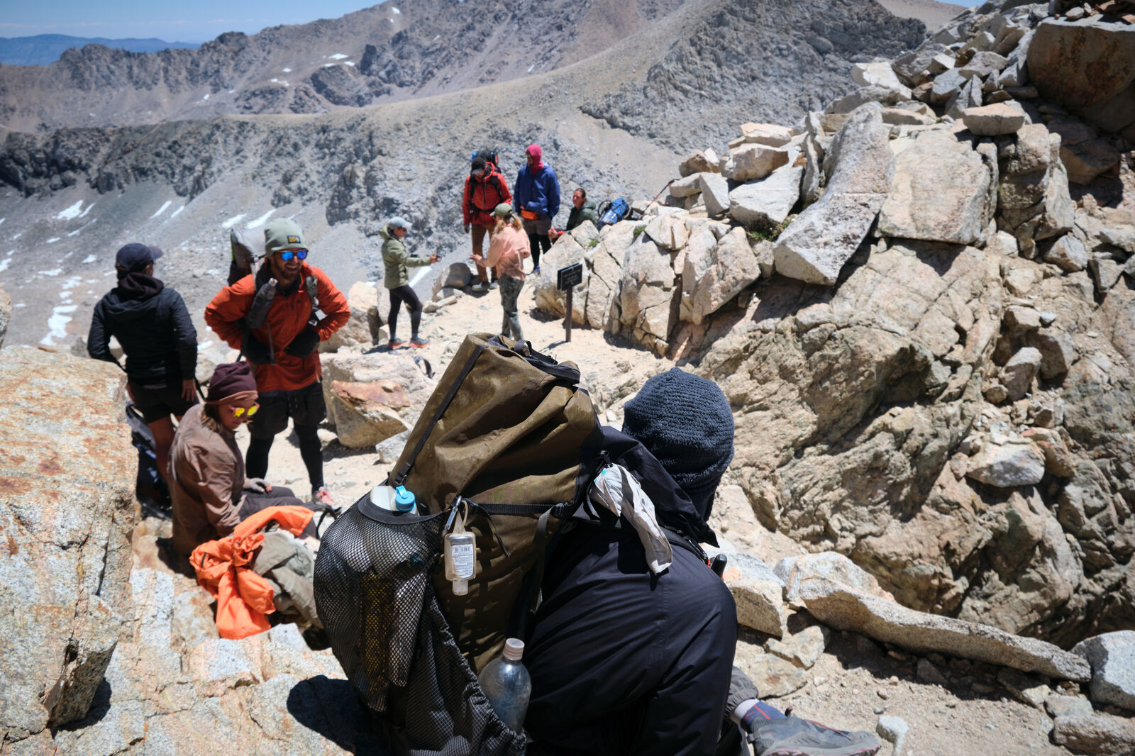
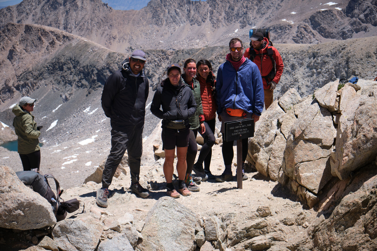
The next day grew even colder, cold enough to kill Ant Man’s phone, and after I caught up to the group, we trudged on towards Forester Pass, the highest point directly on the PCT. The stunning views from the top rewarded us for the day, while I tried not to think about how I only had one more meal in my pack, with no other food.
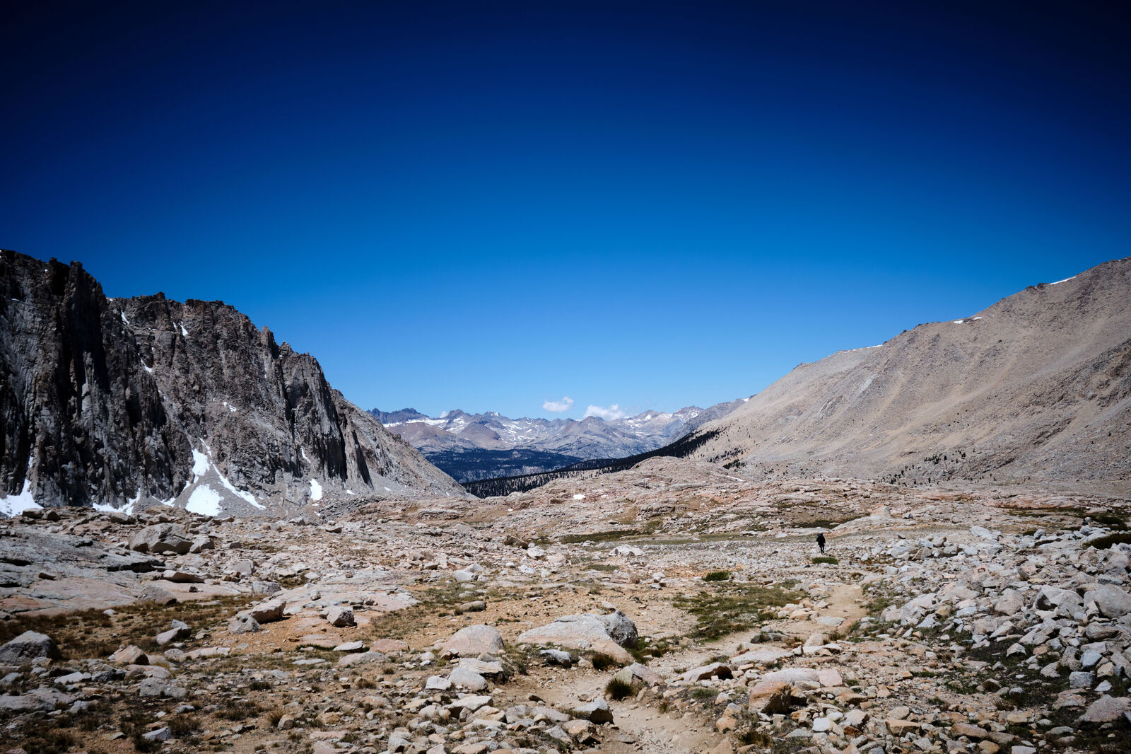
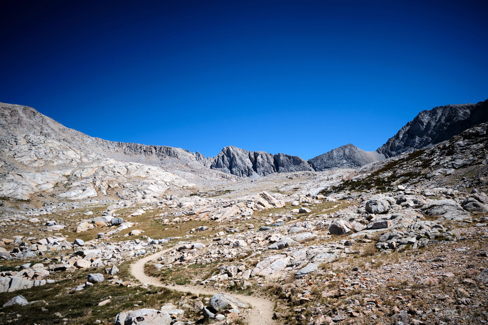
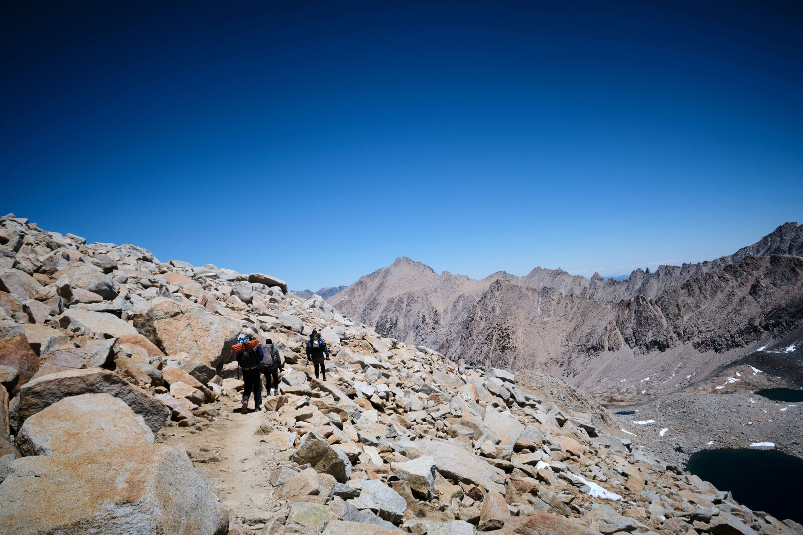
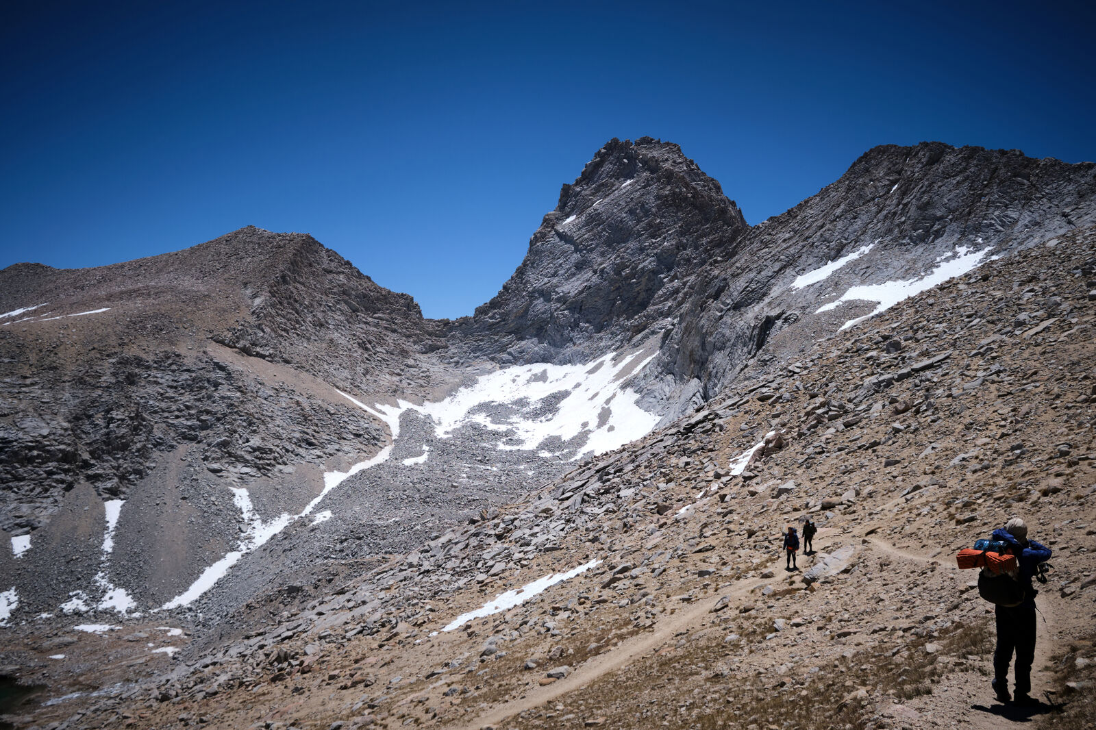
After a quick descent to King’s Canyon, past beautiful glacier melt waterfalls, we needed to climb up towards Kearsarge Pass, stopping at one of the last campsites on our way out. That evening, I made the most of my last meal and miraculously found a few extra snacks, which I then shared with Gibb and Sandals, who also had run out of food.

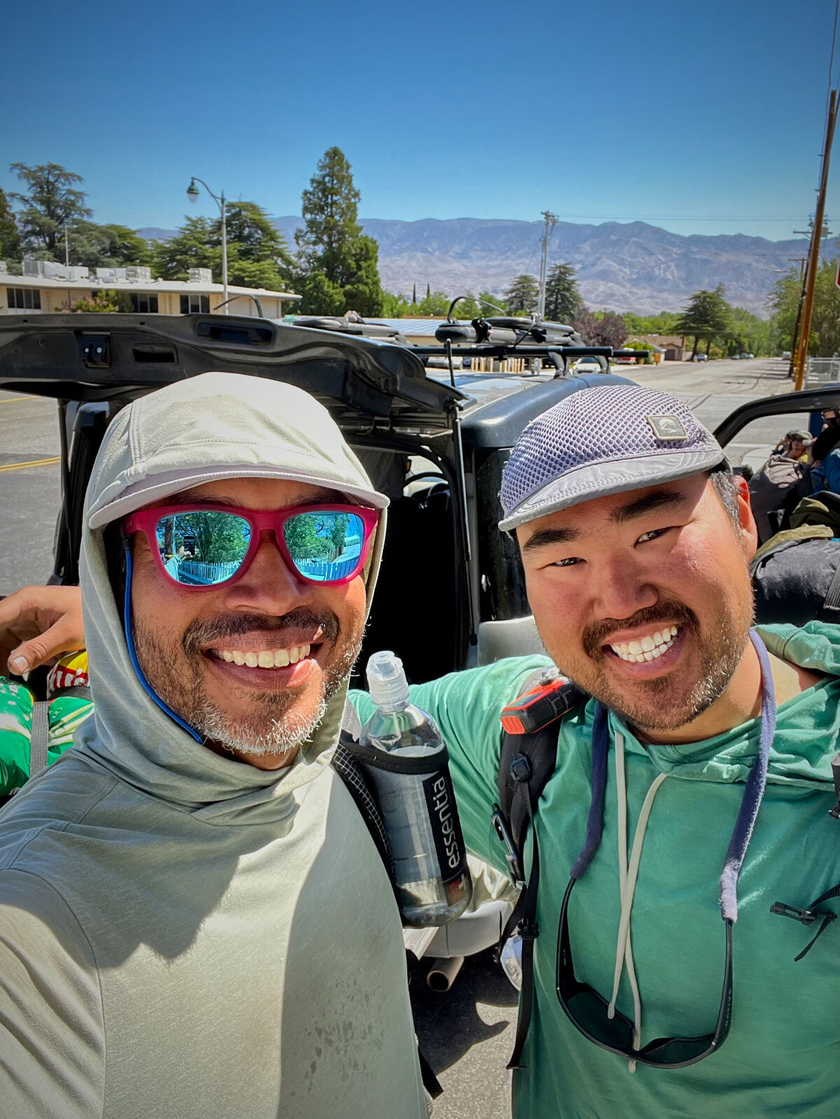
The next morning we reached Onion Valley trailhead and were able to get a ride down to Independence, where I ran into Flamingo Kid once again, but struggled to get a ride down the highway to Bishop. Once we did, I immediately ran over to the local Enterprise and borrowed a car. I then found hikers in Bishop, who needed a ride back to Onion Valley. One such hiker was Misplaced, who I hadn’t seen since the early days of the PCT. I also ran into Sweet Cakes, who I last saw in Julian.
For the next few days, we rested in Bishop while I drove multiple groups of hikers between Onion Valley and Bishop. The crowning achievement was when I was able to surprise Cool Rocks at the trailhead and take her into town.
This gave us time to talk, and we agreed to hike the next section together. My trail family wanted to leave Bishop almost right away, but I needed some time to recuperate. I also wanted to take the next part of the Sierras slowly, which aligned more closely with Cool Rocks’ goals. Finally, Cool Rocks had been hiking alone for most of the early Sierras and with her birthday coming up, I wanted to be there to celebrate with her.
I gave Gibb a haircut, dropped off my trail family off at the trailhead the day before I intended to leave, and hung out with Cool Rocks as we watched a storm roll in over the Sierras.