Chapter 3: Wrightwood to Tehachapi
Our group decided to try hitchhiking from the road crossing a bit further down the trail instead of taking the typical path into Wrightwood, which involves a steep descent of two miles. While I planned not to spend the night there, I did need some resupplies. We were picked up by a K-Drama obsessed local named Maria, who insisted on calling me “Oppa”.
Once we reached Wrightwood, I somewhat regretted my choice not to stay, as the town was incredibly welcoming to hikers and the restaurants were top-notch. I visited the rental my group chose and quickly showered and did laundry while grabbing food from the grocery store. With the stove that was brought to me, I started to finally eat proper amounts for the level of effort I put in each day.
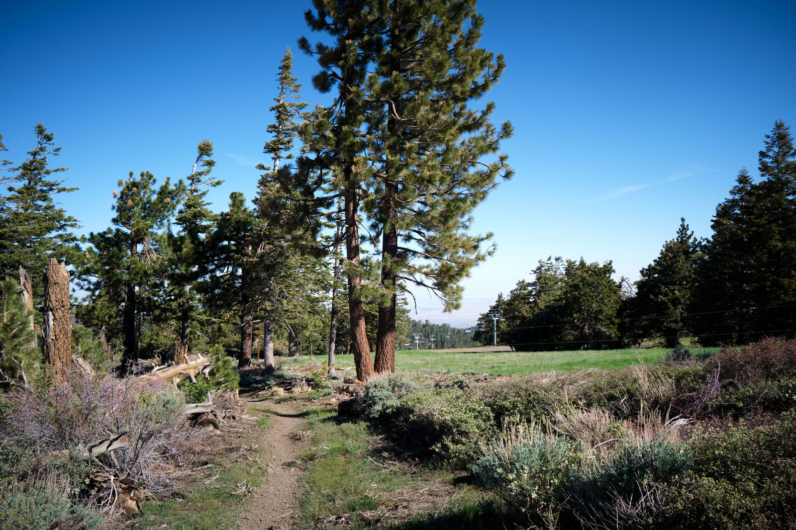
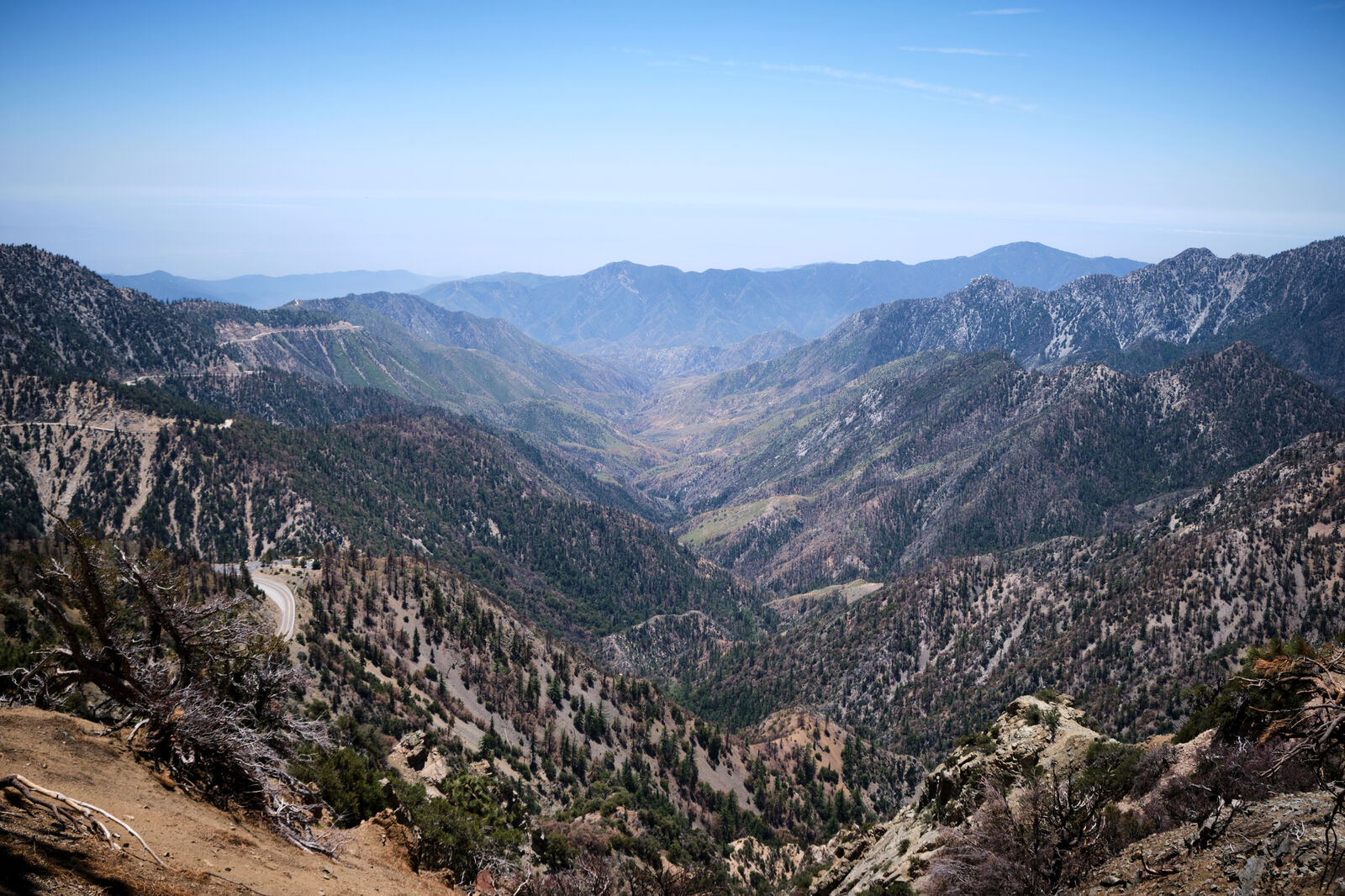
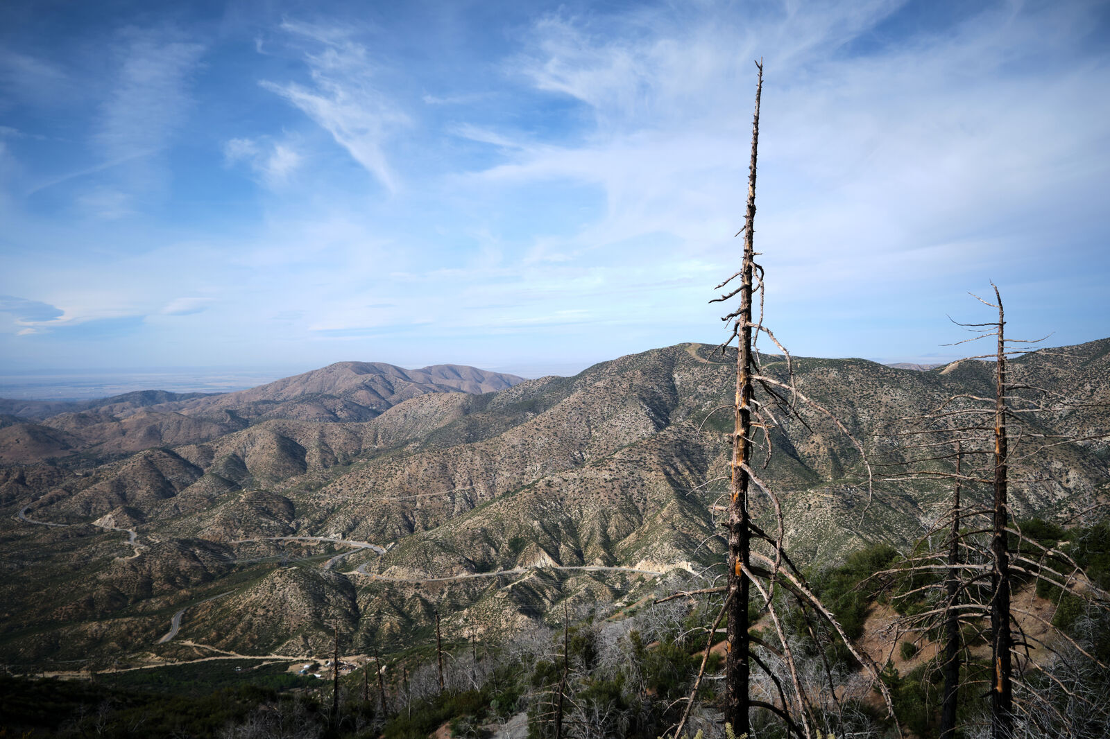
After my chores, I called Maria, who gave me a ride back out to the trail, and I started the climb to the top of Mt. Baden Powell. This is normally a fairly strenuous climb, but as I was beginning around 7 PM, I was able to make it just shy of the top without too much issue. I set up my sleeping pad in a secluded snow drift - a major shift from the desert I had been sleeping in just until now.
The rest of Mt. Baden Powell was easy in the morning, only punctuated by accidentally dropping my camera off the side of the peak, forcing me to carefully climb down about 75 feet to retrieve it. Miraculously, the camera and lens were still in working condition, just heavily scratched up.
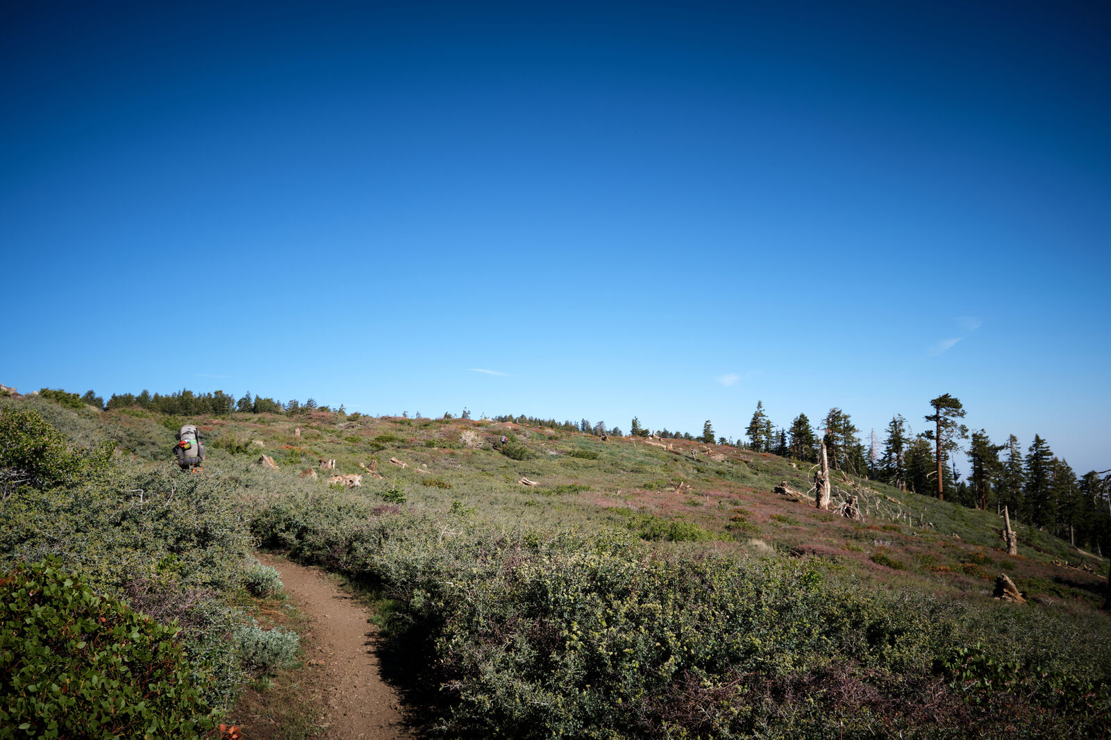
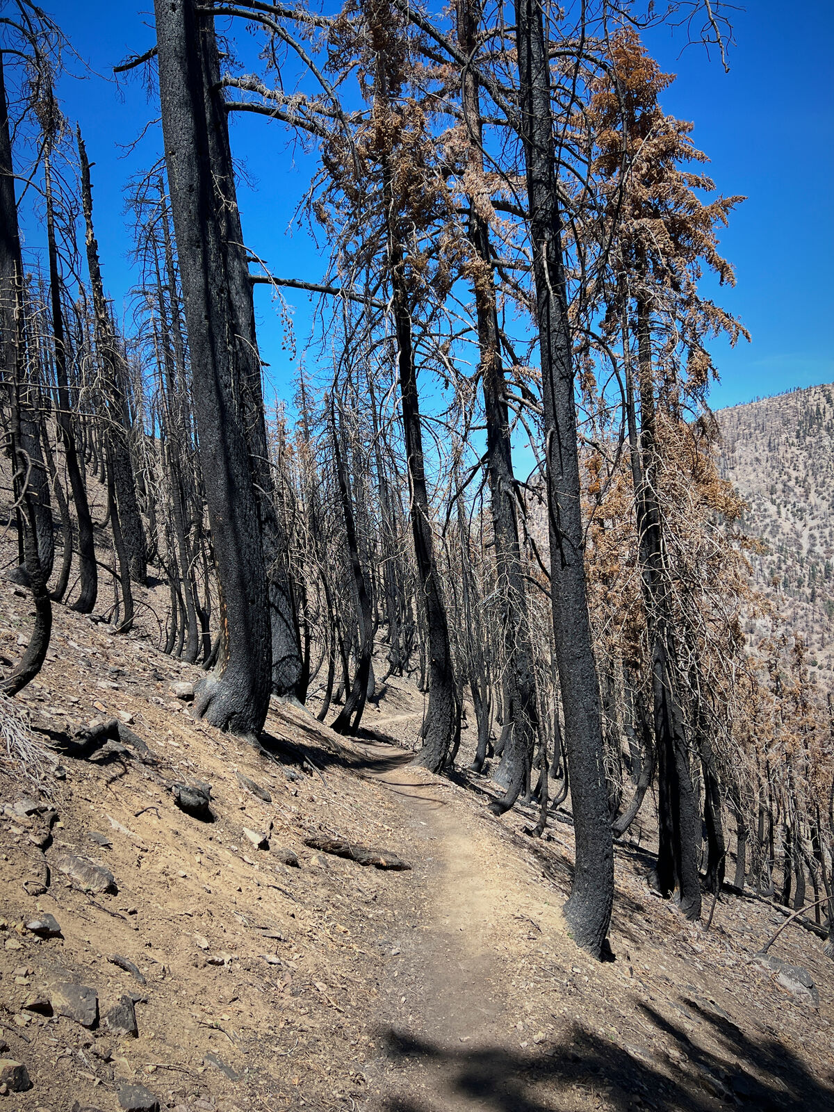
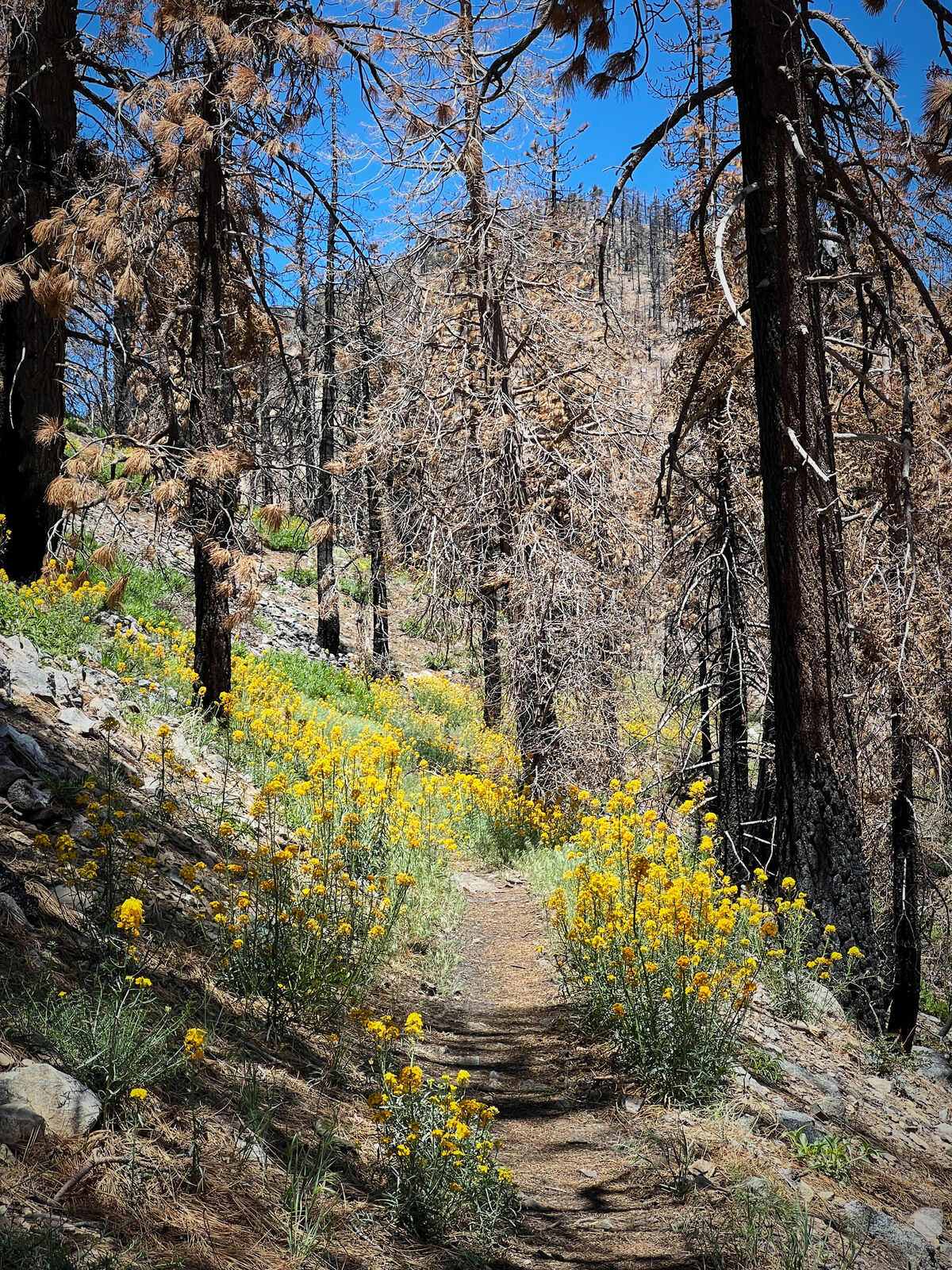
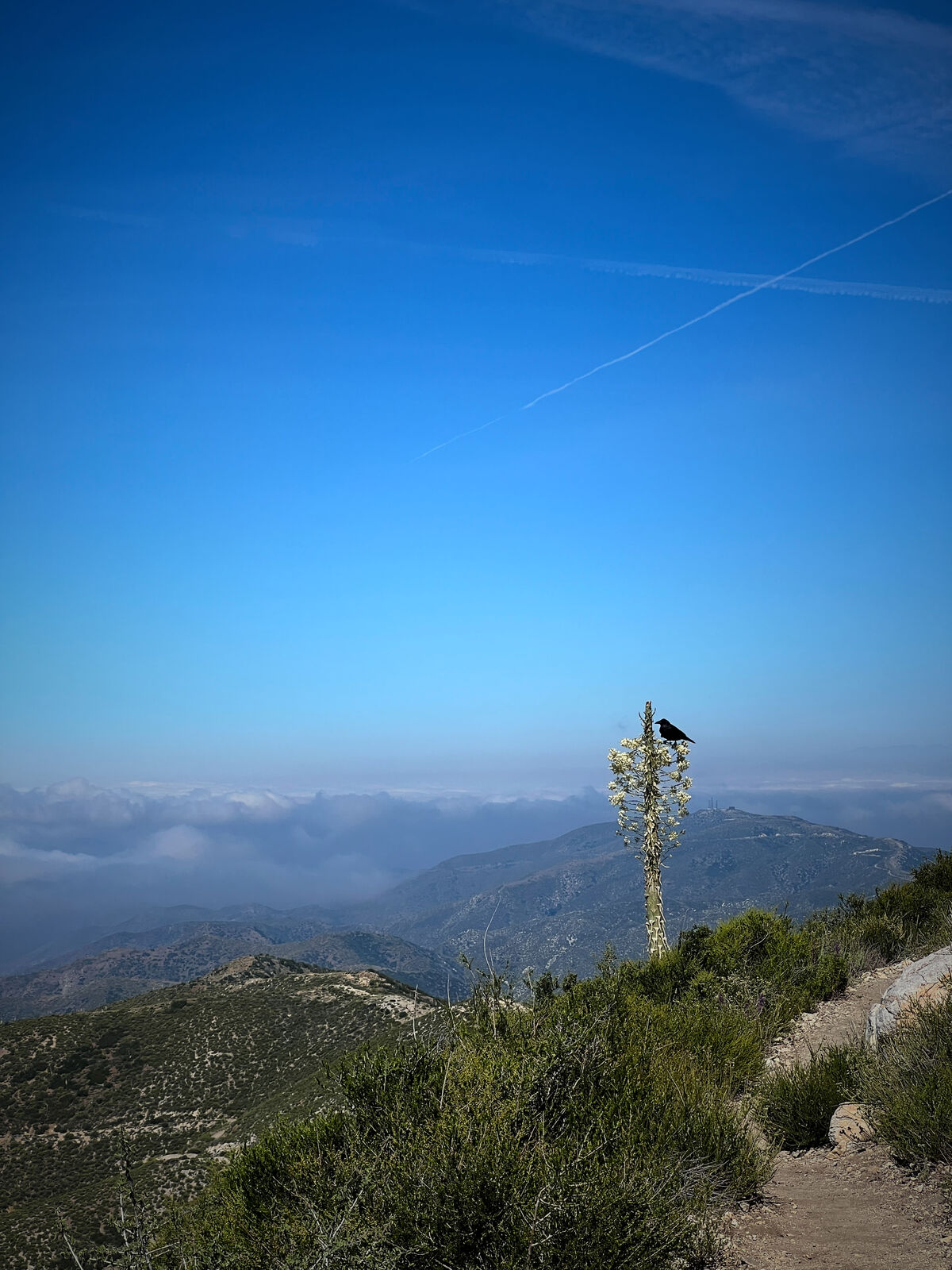
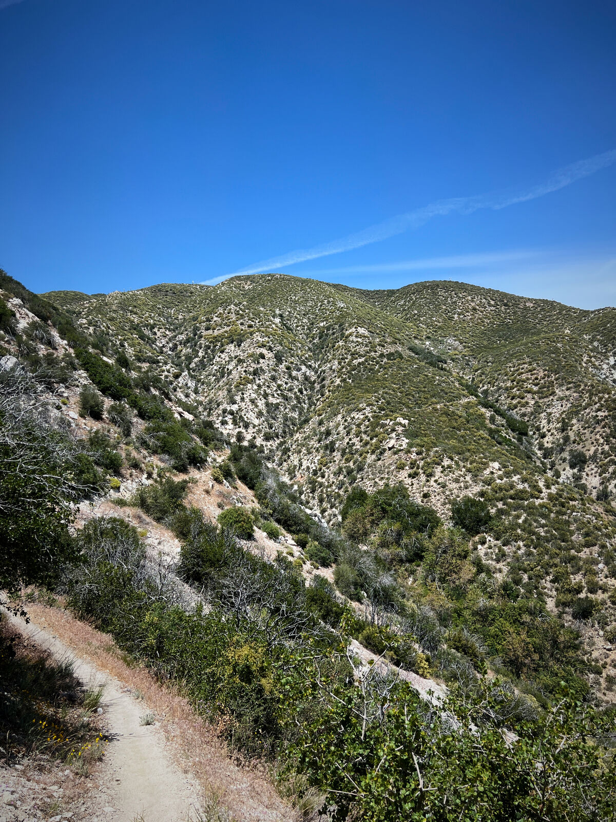
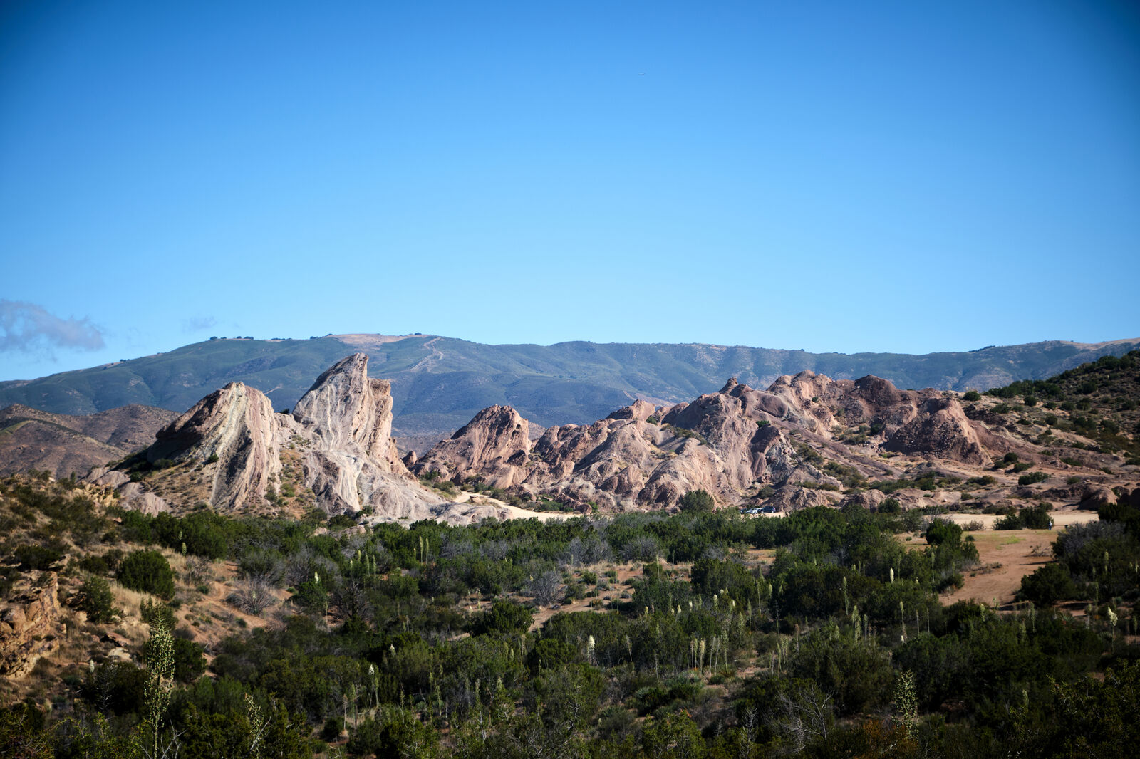
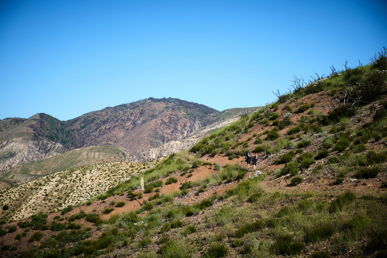
Mt. Williamson was also fairly straightforward, and I ran into AKA, who also decided not to stay in Wrightwood just yet. His friend from the Appalachian Trail was also there, and she had set up trail magic. With a stomach full of burgers and croquettes, I carefully navigated the next dozen-ish miles that strayed from the PCT to avoid an endangered frog habitat and found the only safe spot in a burn to camp that night.
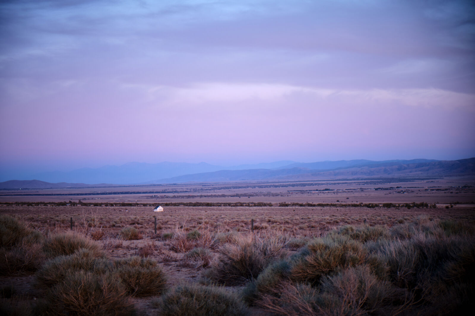
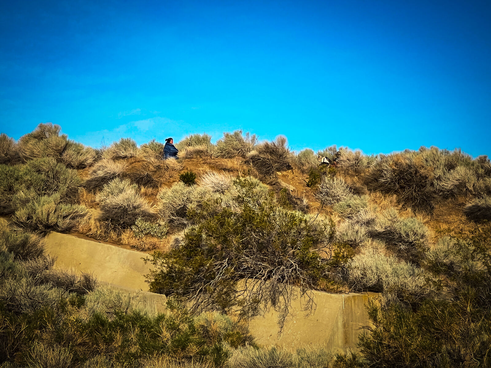
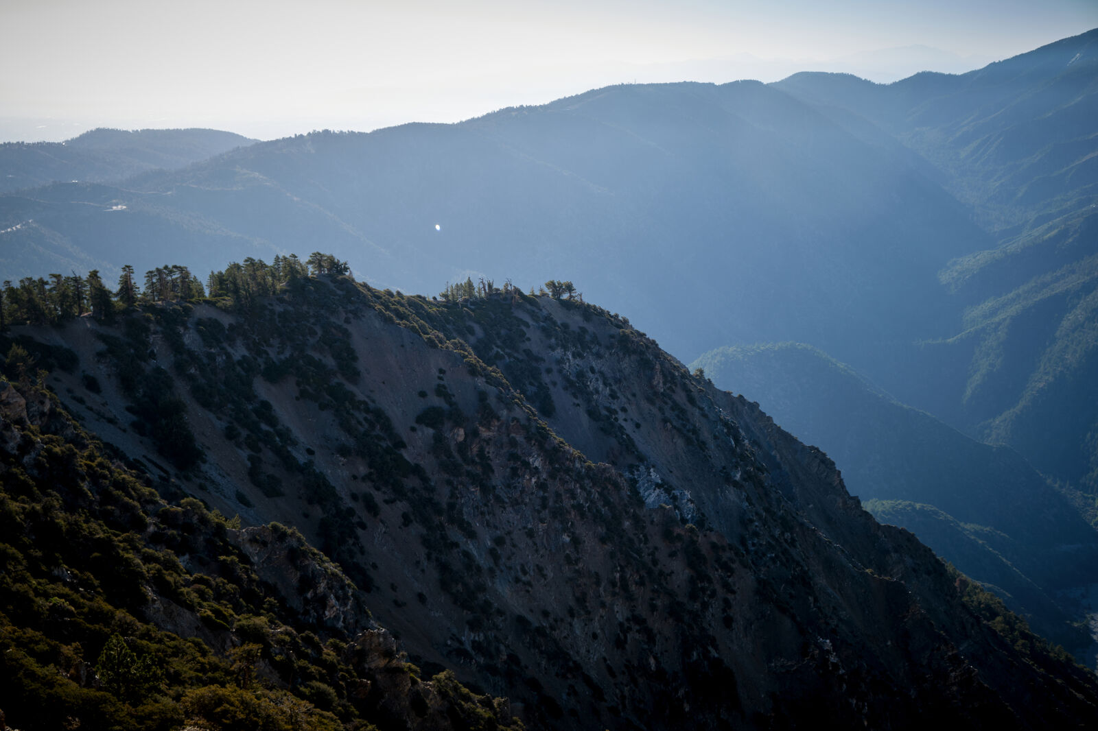
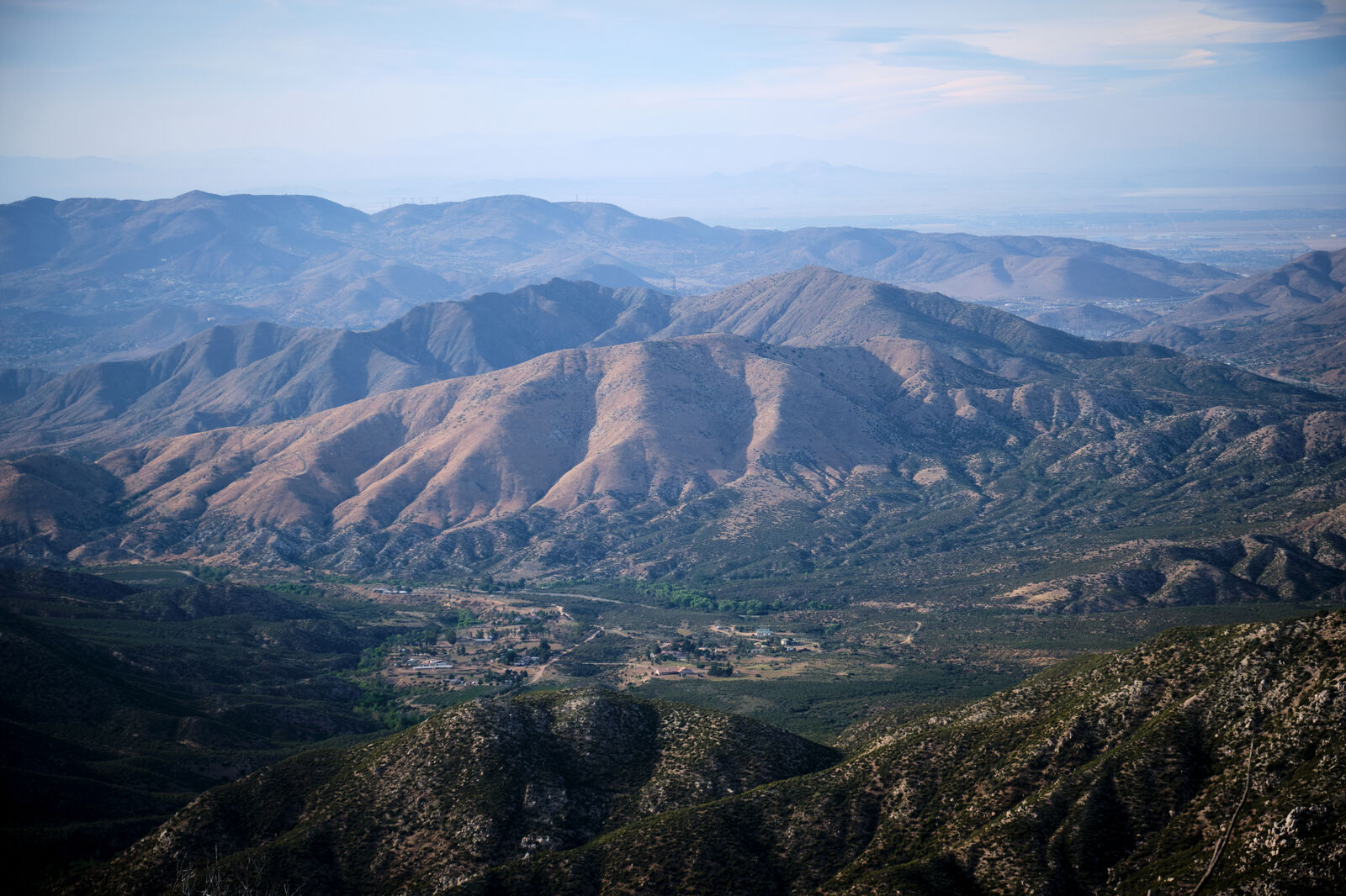
The next day was Memorial Day, which I only realized once I reached a fire station that allowed hikers to rest and refill our water bottles on the side of a busy highway. I chatted briefly with OJ and Buggy, before pushing forward to find one of my favorite campsites of the desert, hidden well off trail and commanding a 360 view of the desert valley below.
Similar to the fire station, the next day brought me to a ranger station where I could refill my water and I met Yeezus, who was struggling hard with his ankles. Refusing to rest, we pushed on together to Acton’s KOA, a major shock to the senses as RVs, campers, and screaming children surrounded us. I ordered some delivery with Yeezus to the KOA’s office, where we were allowed to rest and charge our batteries. The scene wasn’t quite right for me, however, so I packed up as the sun set and met Foxy and Trippy, a married couple, as well as their friend Divebomb on my way out.
That evening I camped several miles past Acton in the canyon that led to Vasquez Rocks, but was unfortunately joined by a distant truck blaring music. Just past Vasquez, I reached the tiny town of Agua Dulce, where Yeezus and his friend Ricochet caught up to me and we ate a massive breakfast together.
On my way out of town, a woman stopped me and asked if I’d like popsicles or cupcakes in a few hours. I wasn’t exactly sure what this meant, but I answered honestly. The next 20 miles were brutally dry, but about halfway through, the trail sank down towards a road where I found both a water cache and some popsicles provided by Summer, the woman I had met earlier that day. Yeezus and Ricochet were delighted by this gift and camped there while I pushed on.
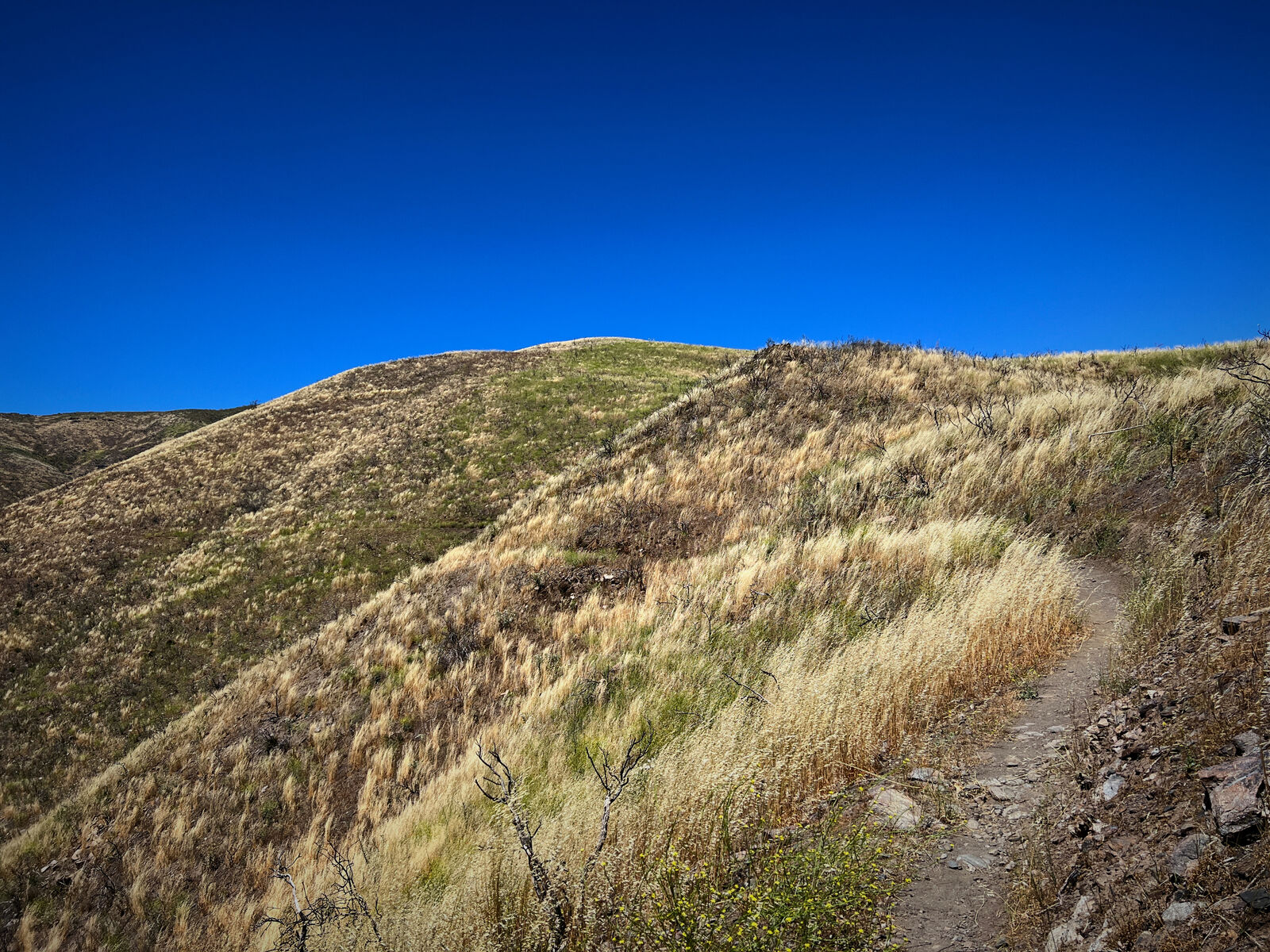
Once again, the trail took me by another fire station, where some hikers travel into Green Valley. I had no real reason to stop, so I kept hiking. By 2 PM I was nearly 17 miles in and stopped at a road leading into Lake Hughes, debating what to do next. While I had the energy for more miles, I was feeling the solitude, as I hadn’t seen too many other people on trail for the past few days.
Eventually, I continued, only to get a message from my trail family asking if I could contact Dylan. Behind me, just north of Agua Dulce, a fire had broken out and Dylan wasn’t responding. Already frazzled, I got a hitch into Palmdale to charge my devices and attempt to contact Dylan while the rest of my trail family figured out where to stay for the evening. Eventually, I was able to make contact and let the rest of the group know he was safe.
I also decided to rejoin them and the next morning found me waiting all day at the road to Lake Hughes. To pass the time, I walked the two miles into town, bought some treats and drinks, and then returned them to the trail. I made this trip a few times, until Floss came by and his parents drove up, intending to take him off trail for some family time, and they were able to bring back a much larger load of trail magic.
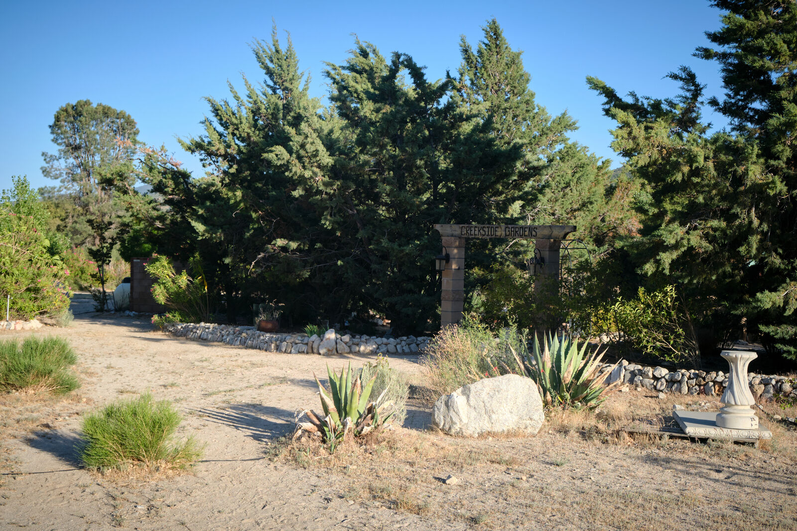
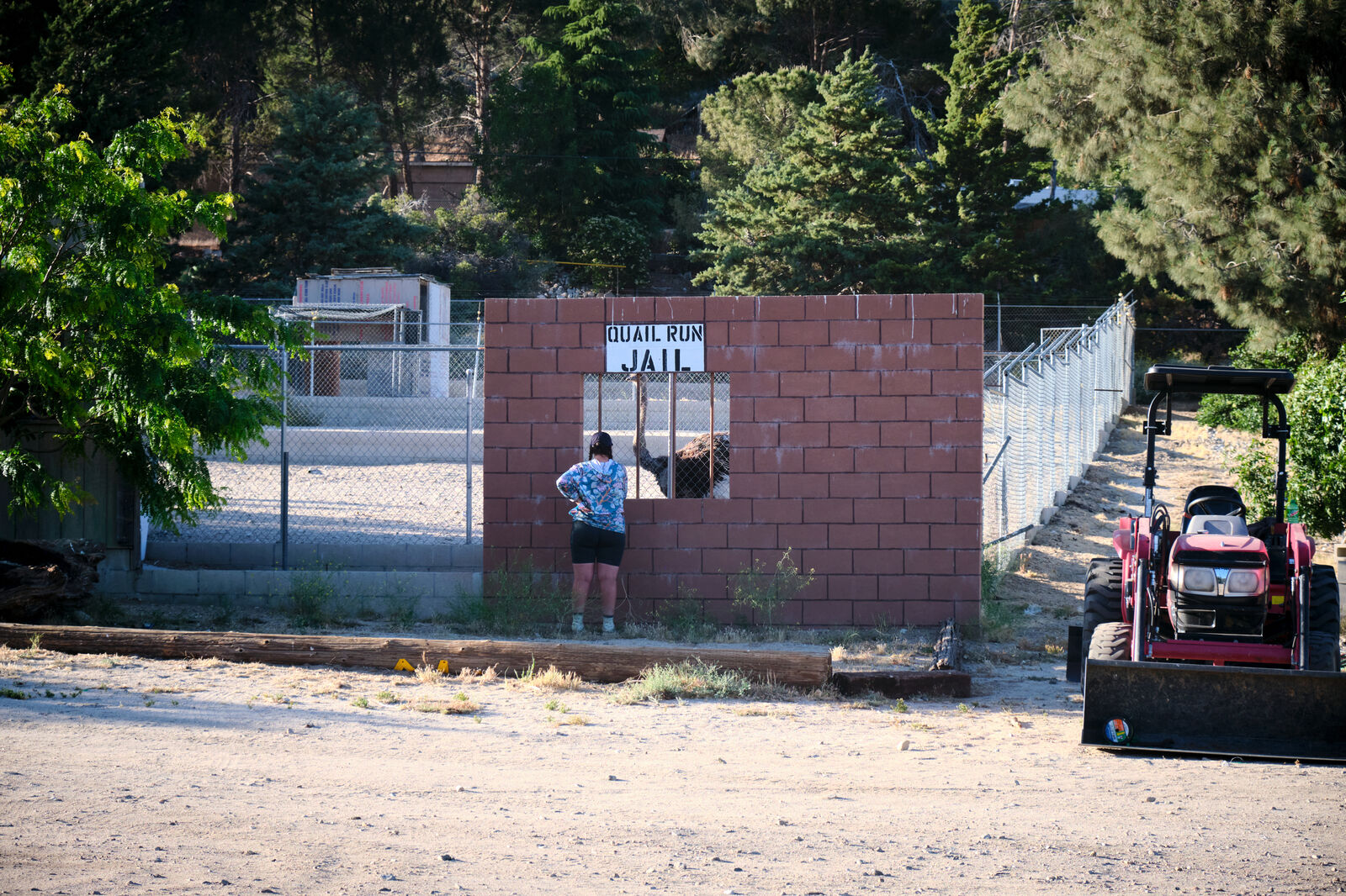
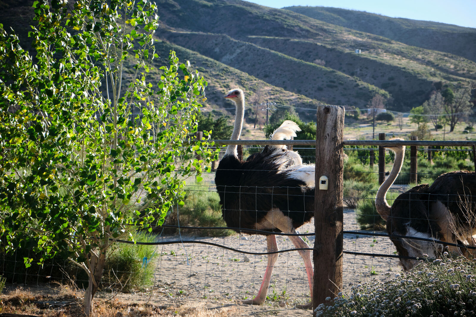
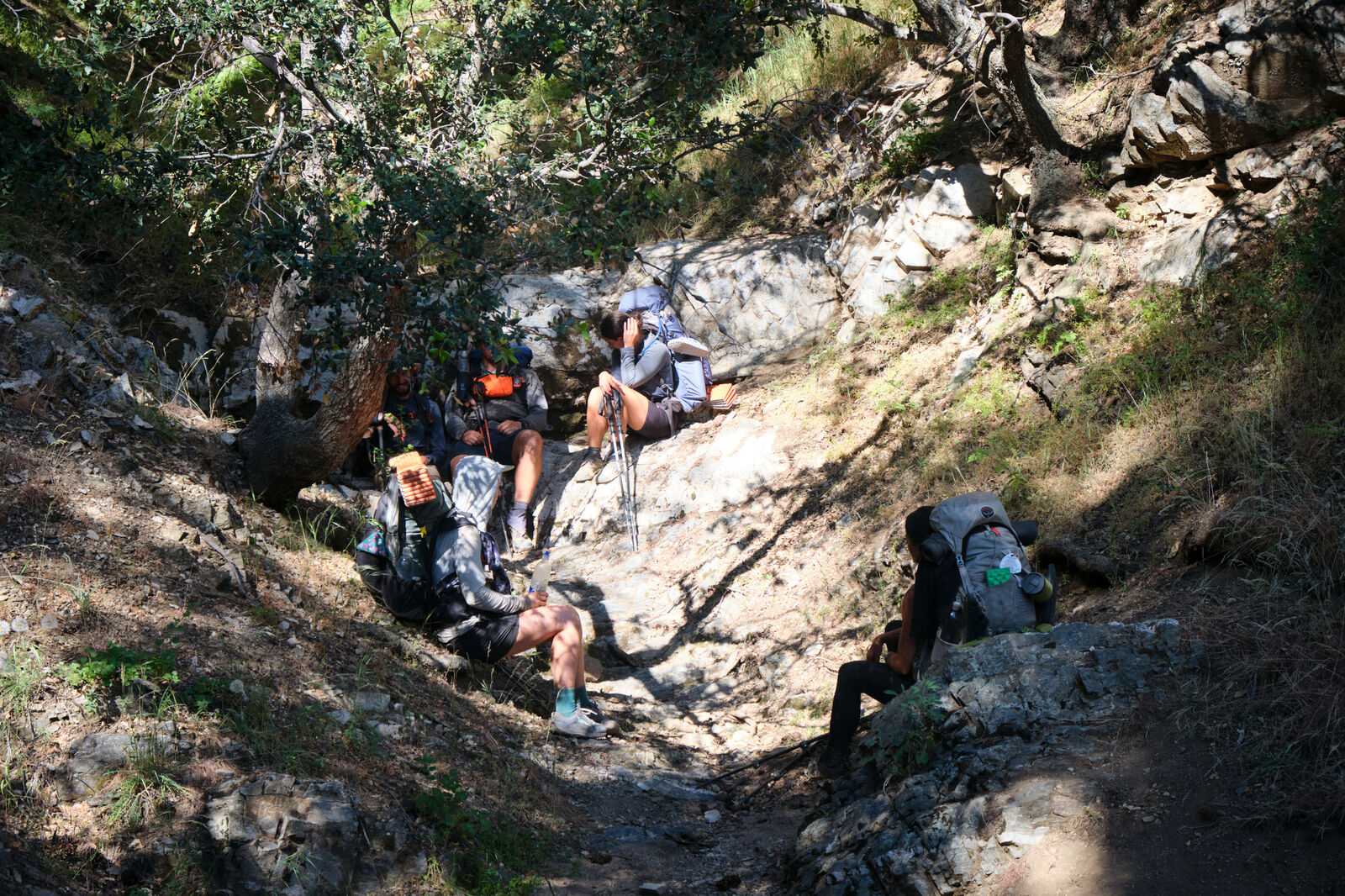
After this, I napped in the shade, fending off flies, until a woman stomped through, asking if she could escape the flies here with me. I agreed, and I found out that Cool Rocks had been hiking with my trail family. Eventually, Ant Man, Black Widow, Willow, Giggles, and Dylan, along with newcomer Hawkeye arrived. We stayed at a nearby ostrich farm and enjoyed our reunion.
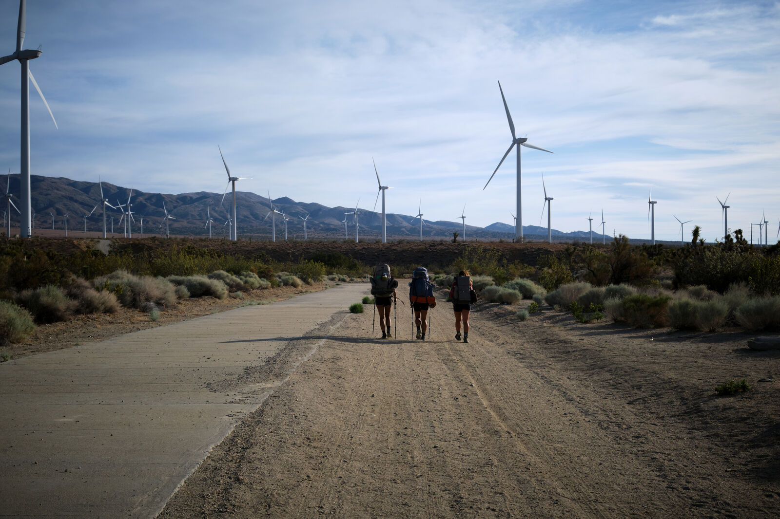
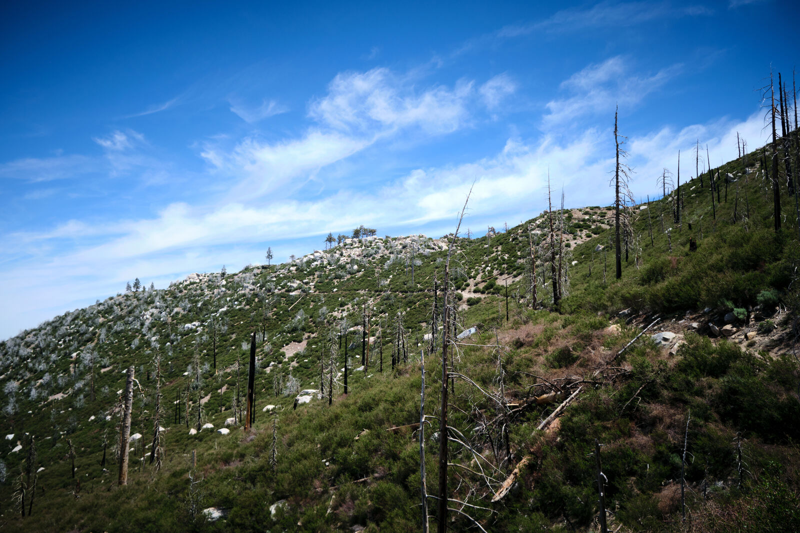
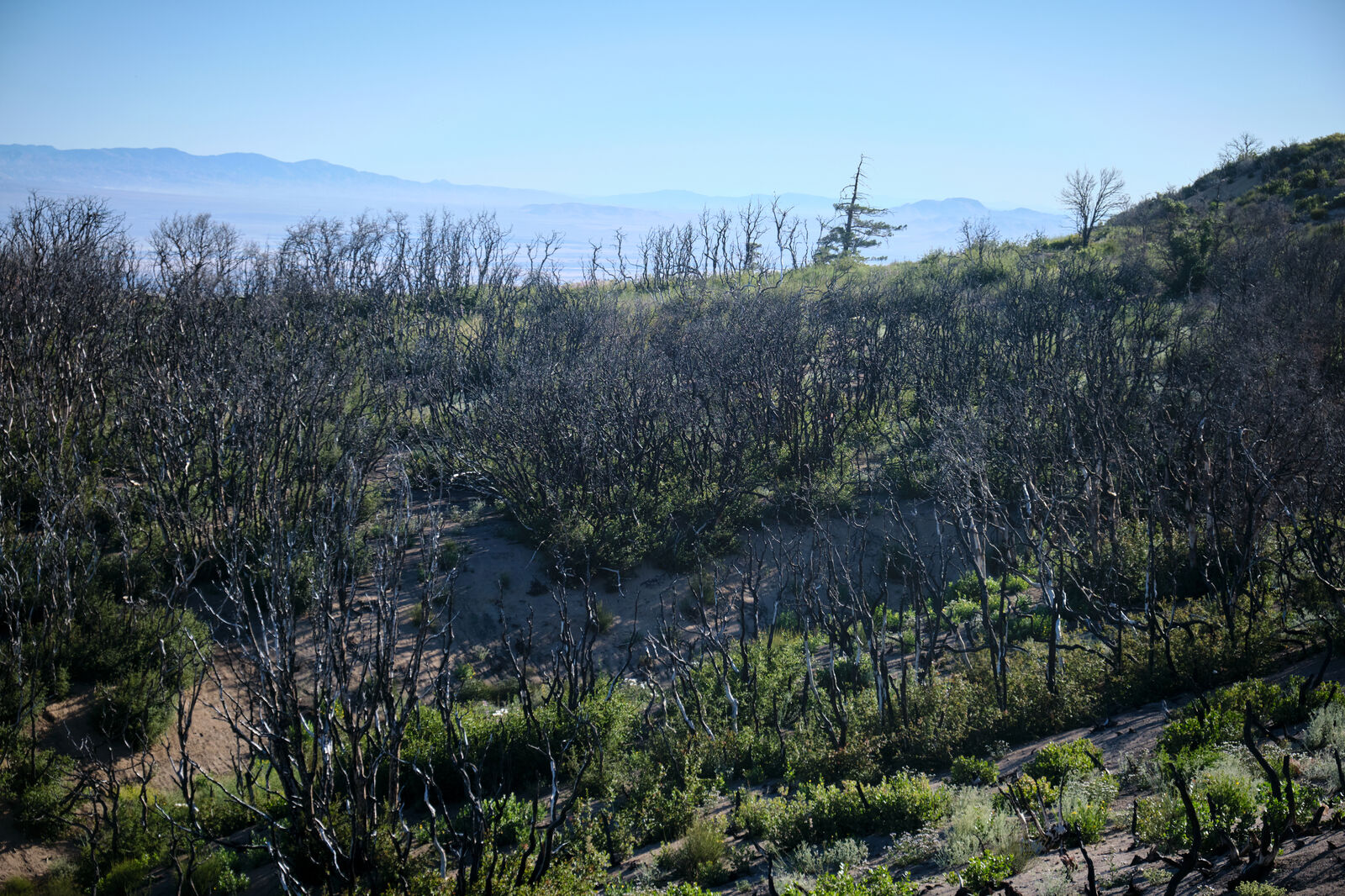
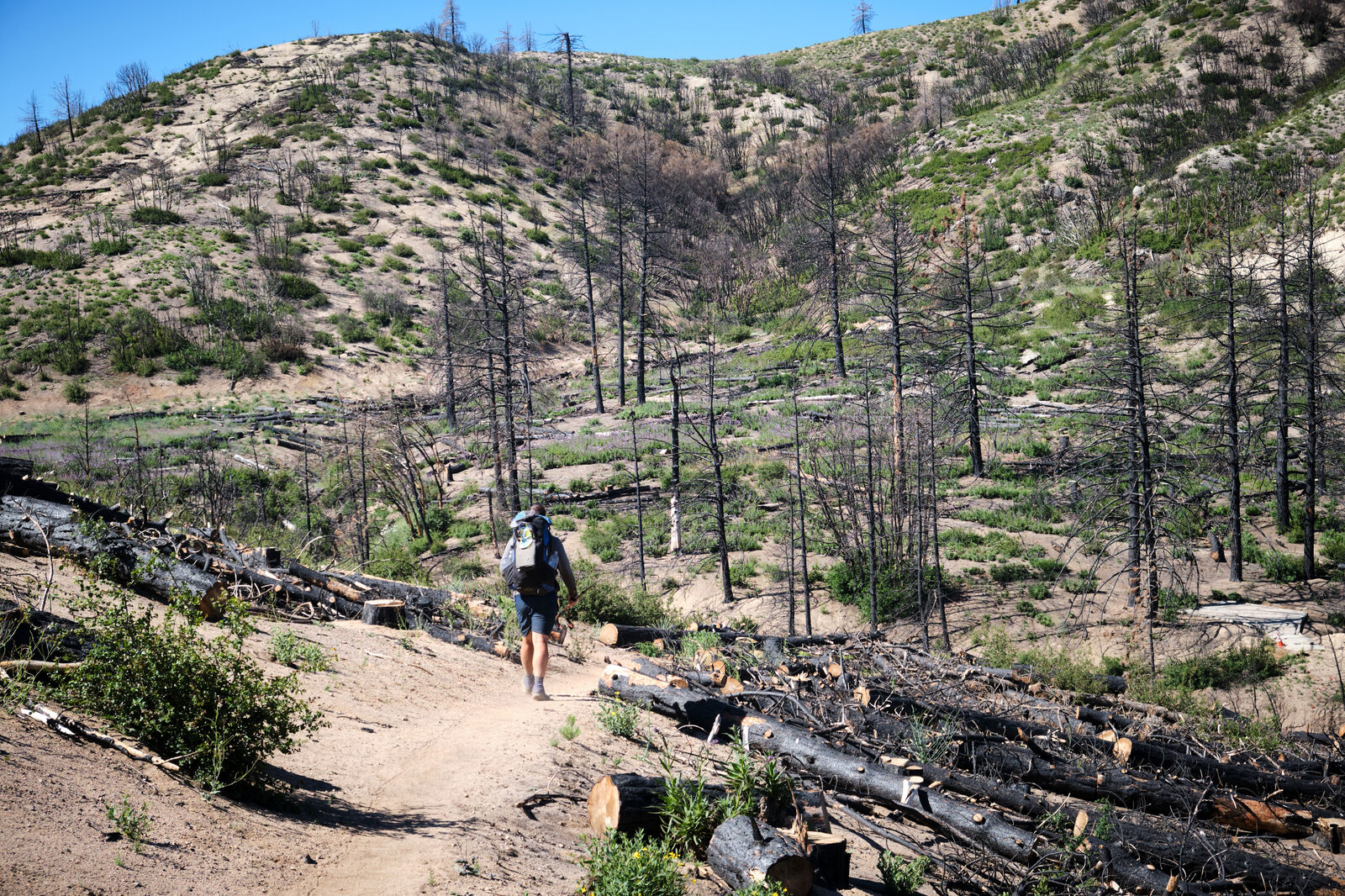
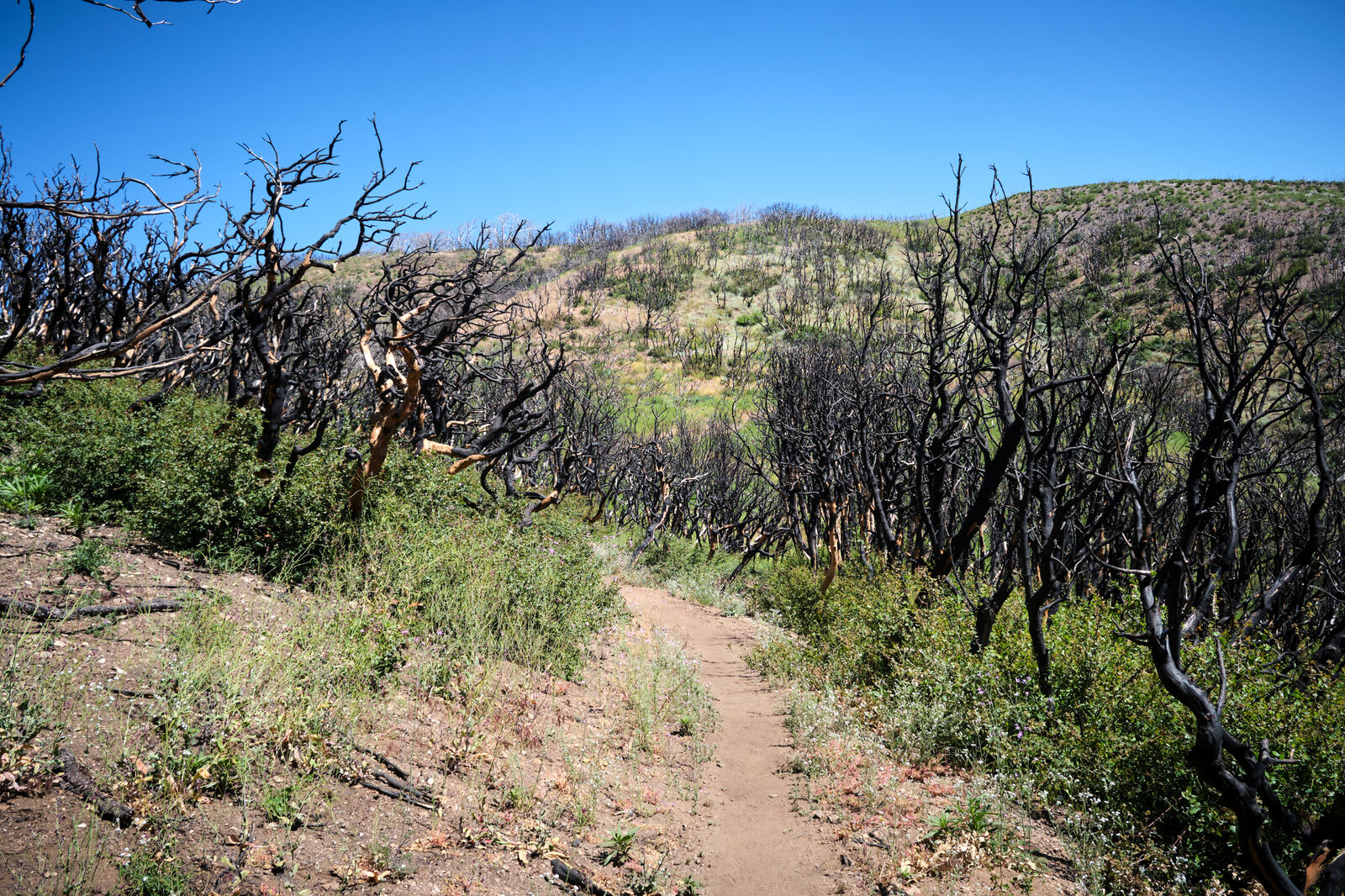
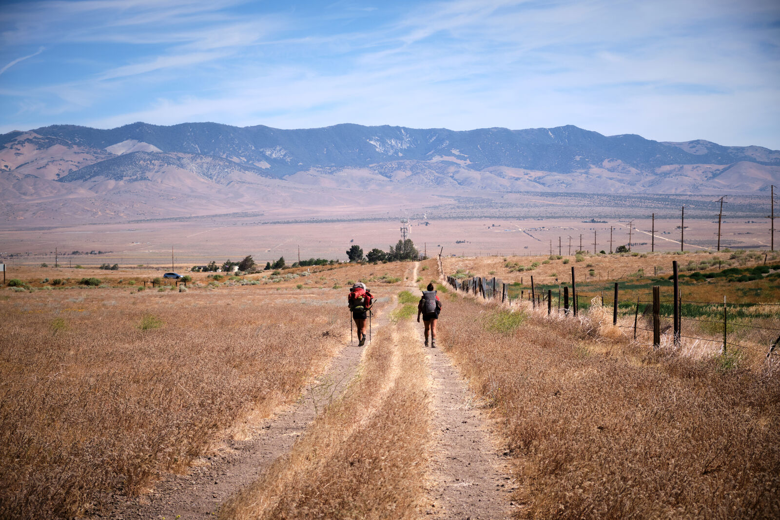
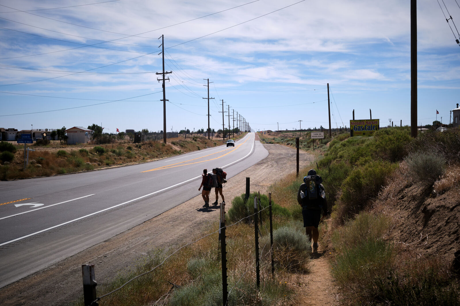
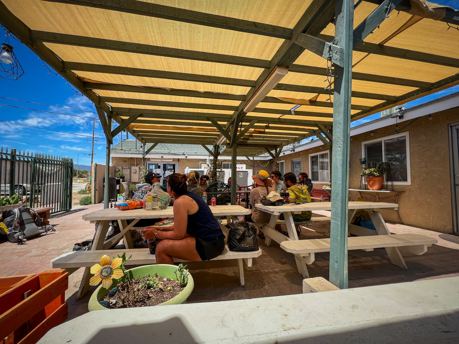
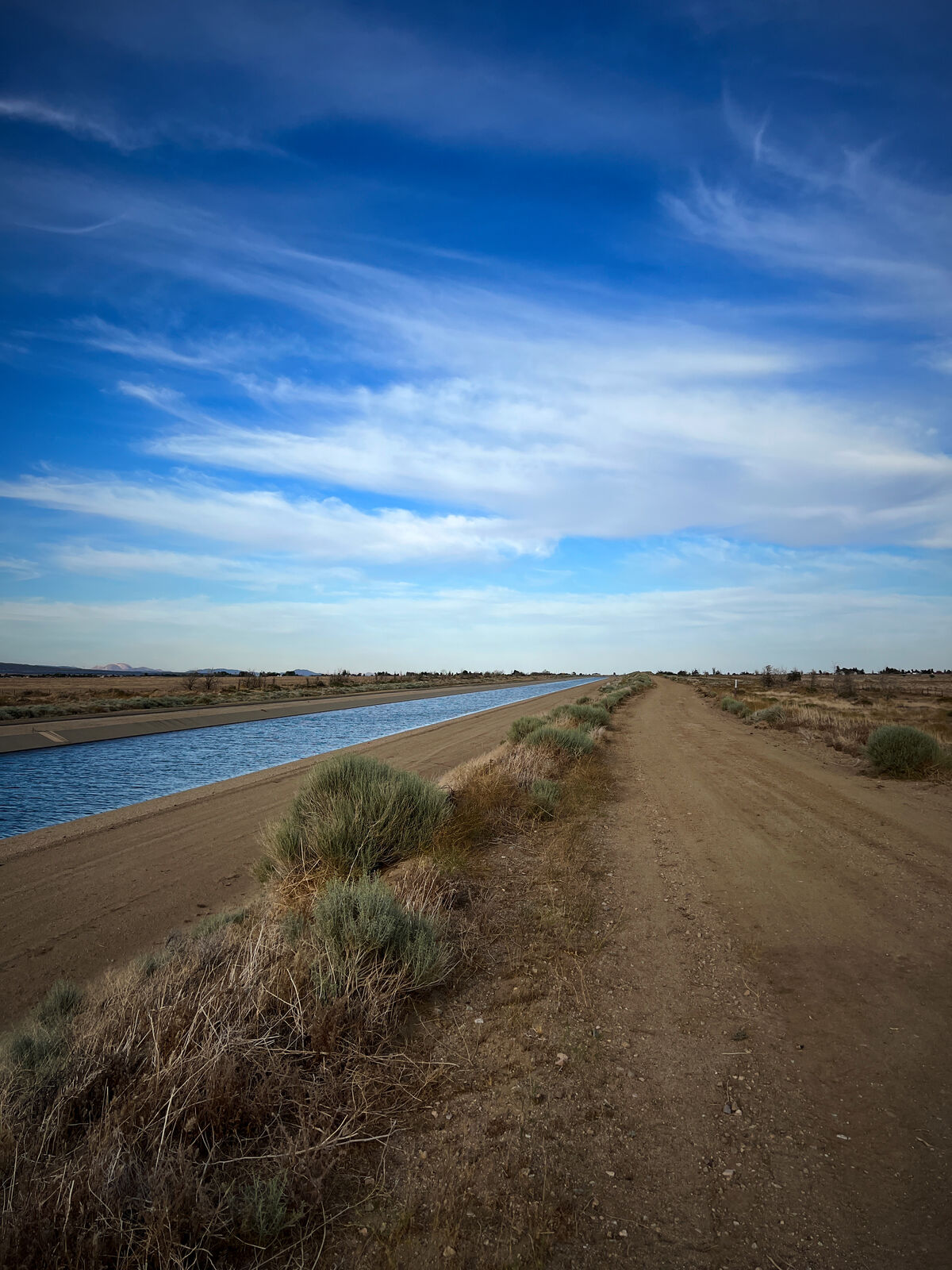
Past the ostrich farm we reached our 500th mile on trail, deep into a depressing burn, and hiked hard for the next two days to Hikertown. Hikertown marked the transition area between the Sonoran and Mojave desert, and before us lay an empty expanse of almost nothing, as we would hike by the LA aqueduct, with no water available to us for almost 30 miles.
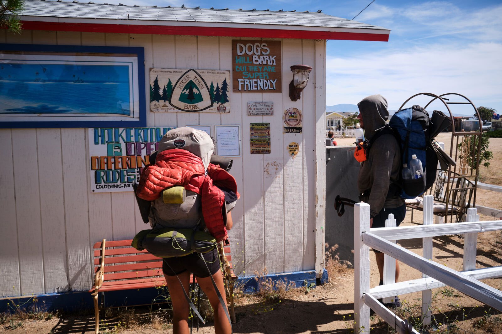
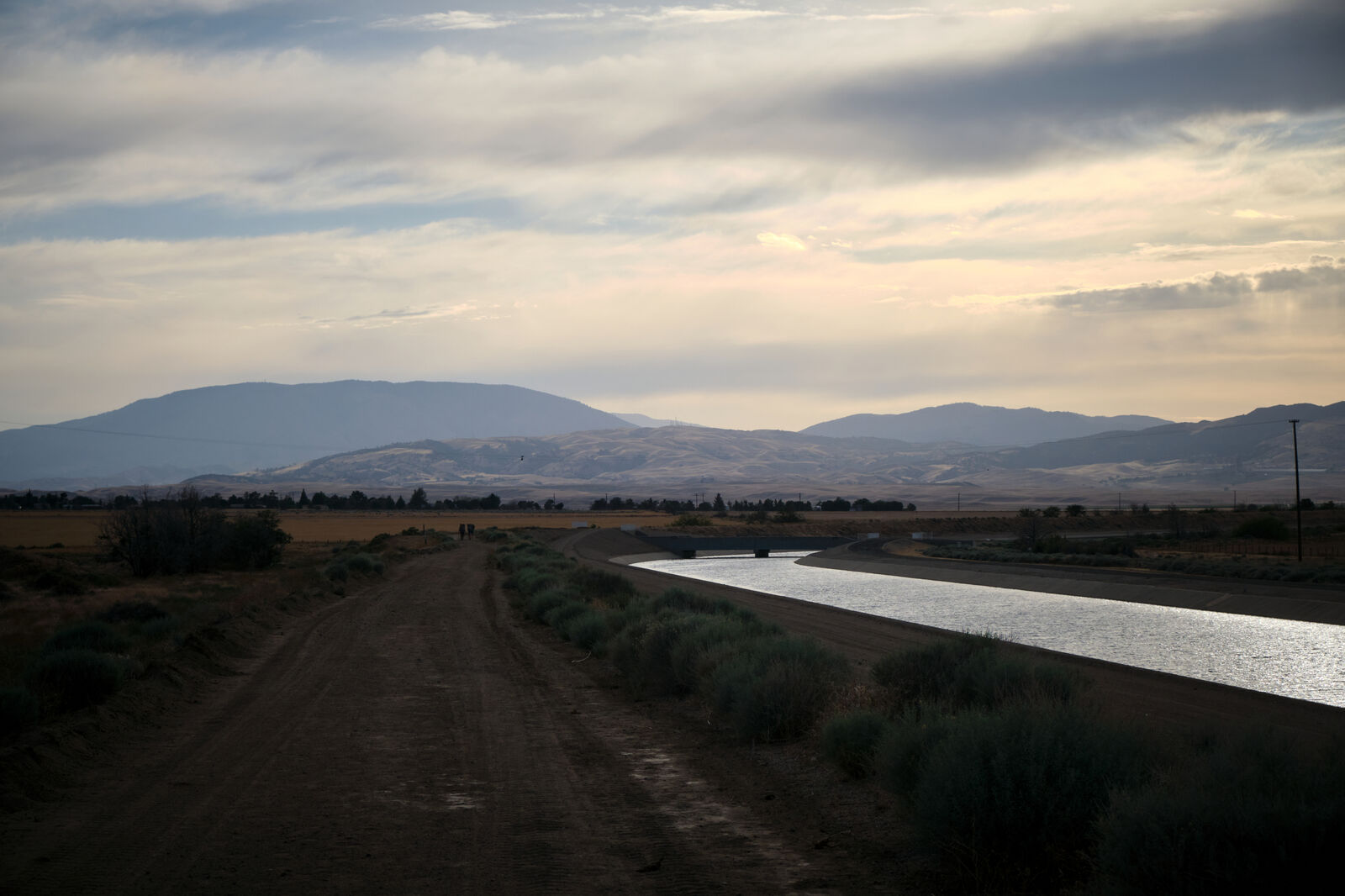
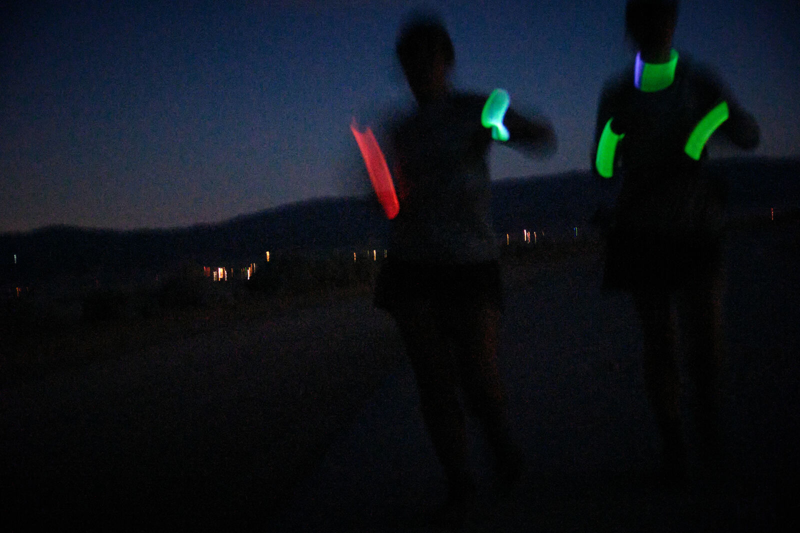
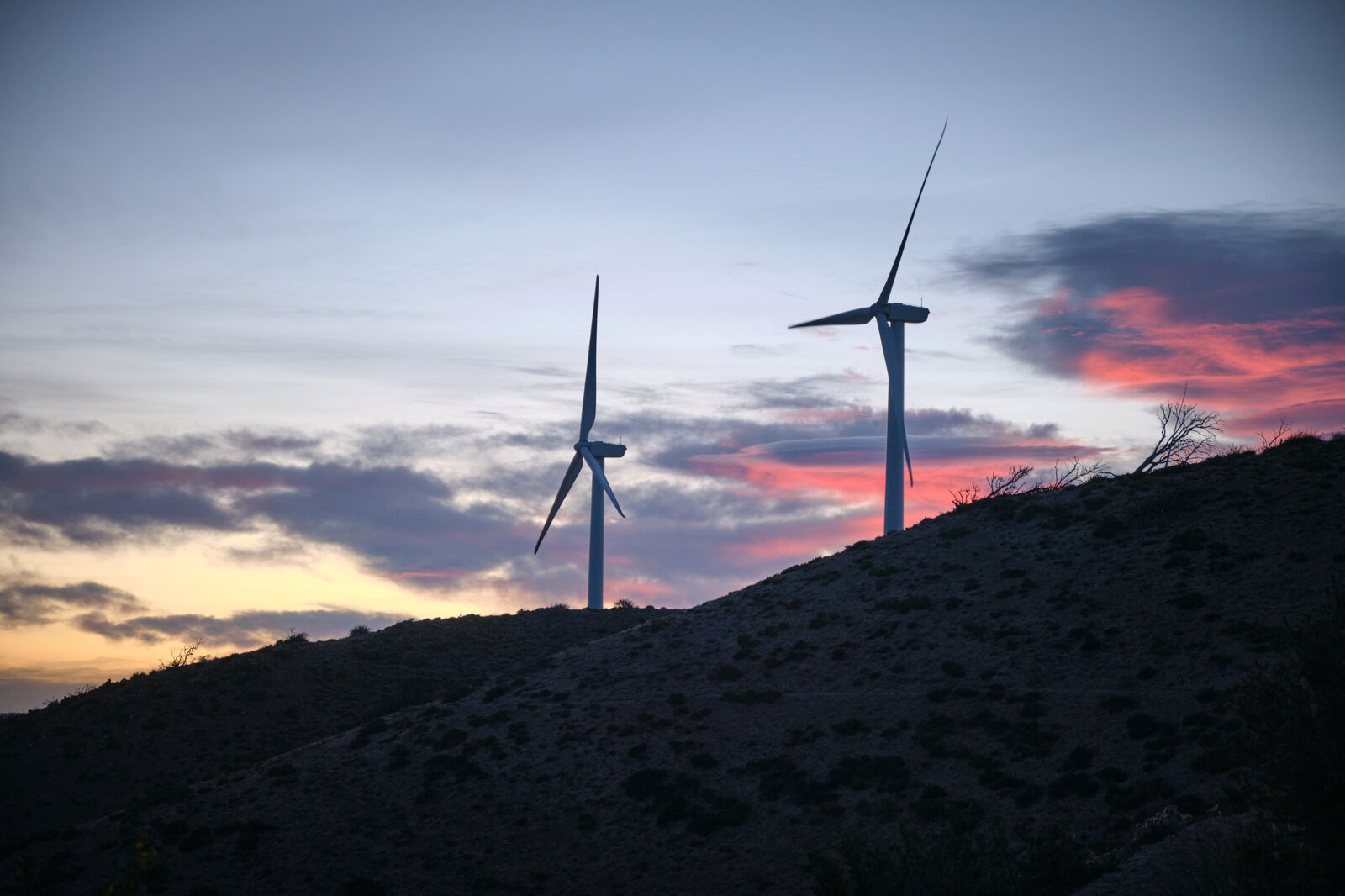
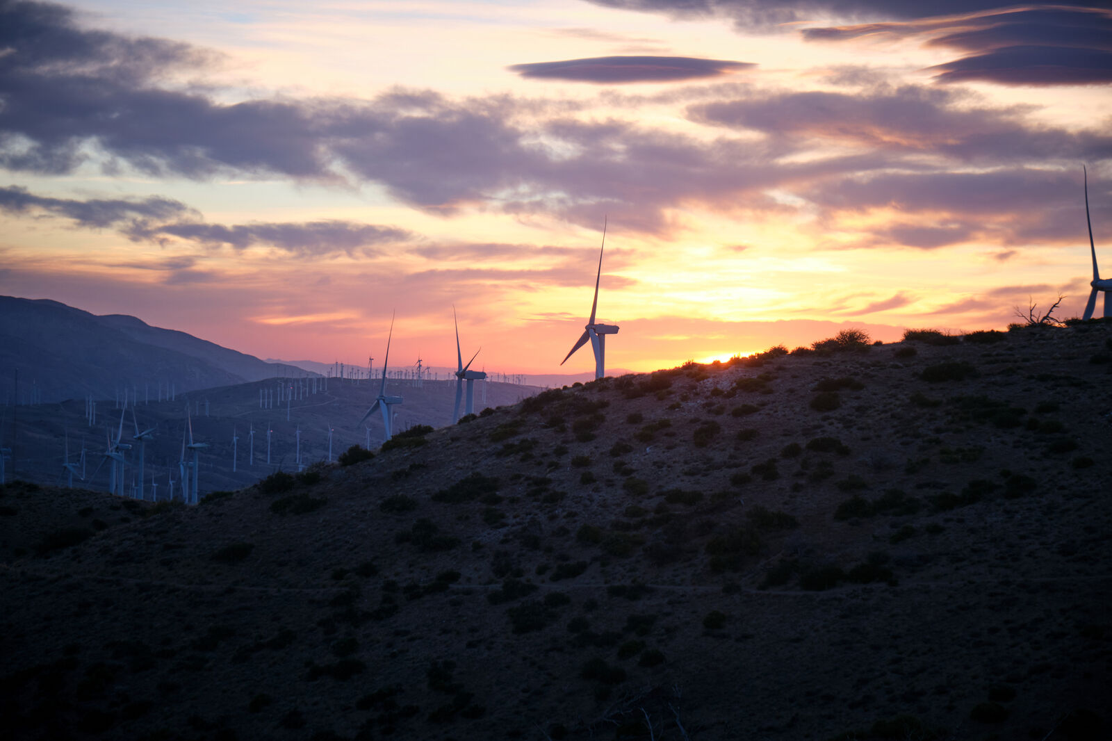
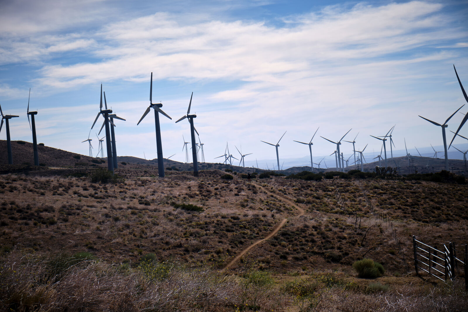
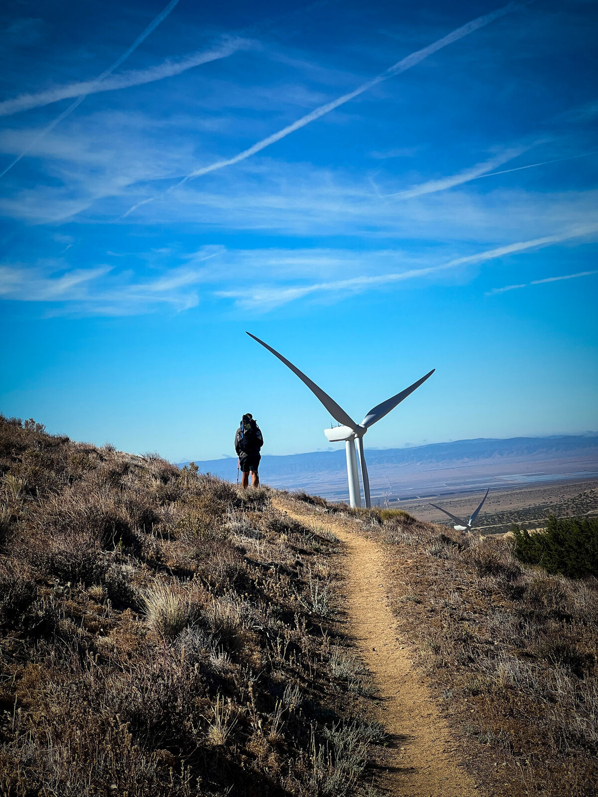
Many at Hikertown choose to do this hike at night, so we attempted to sleep during the day and marched off into the night, following Hawkeye, Cool Rocks, and OJ and followed by Foxy, Trippy, and Divebomb, and joined by Wild Child. The night was spent hiking flat nothingness, until we reached the wind farms, where the eerie blinking glow of the windmills brought the atmosphere of a post apocalyptic wasteland inhabited by robotic giants.
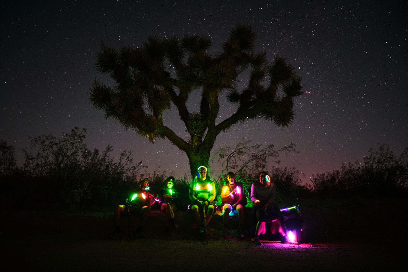
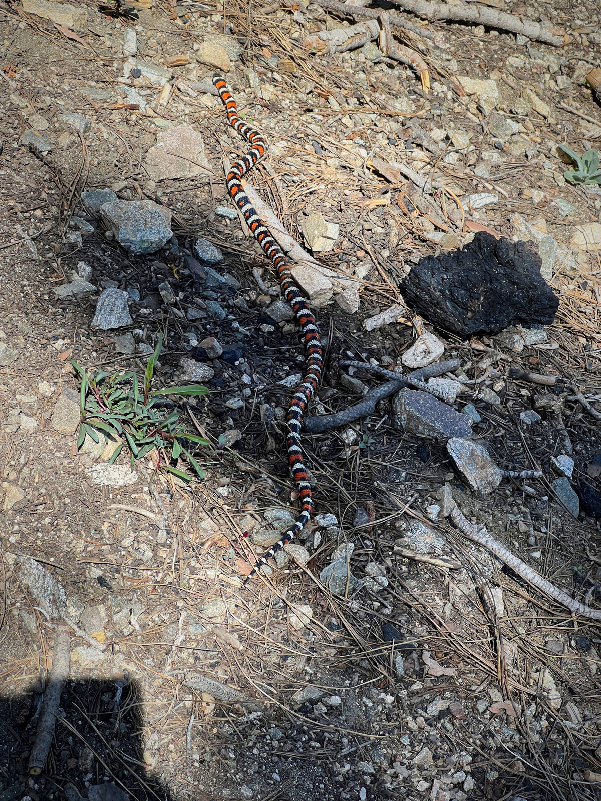
At around 4 AM, we found “the perfect” Joshua tree, where we took a photo with our glow sticks turned on. Shortly afterward, we crashed into some rattlesnake-infested bushes.
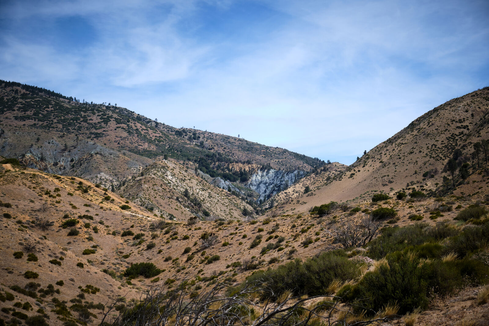
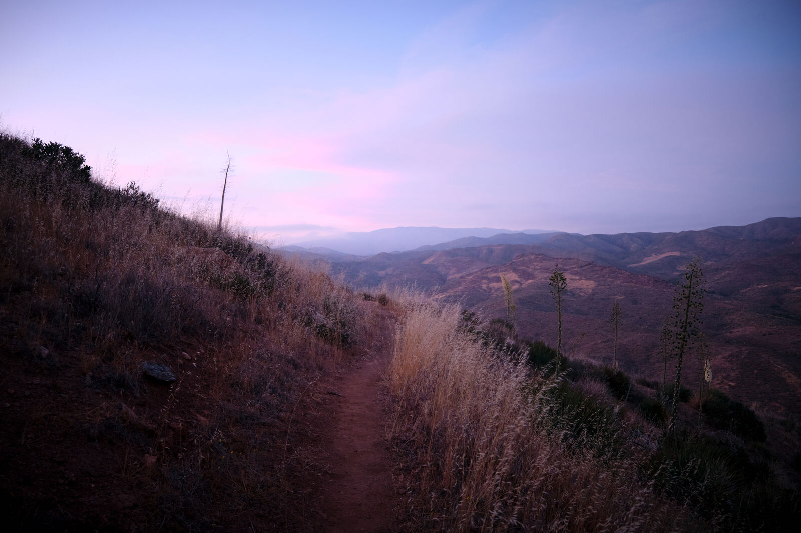
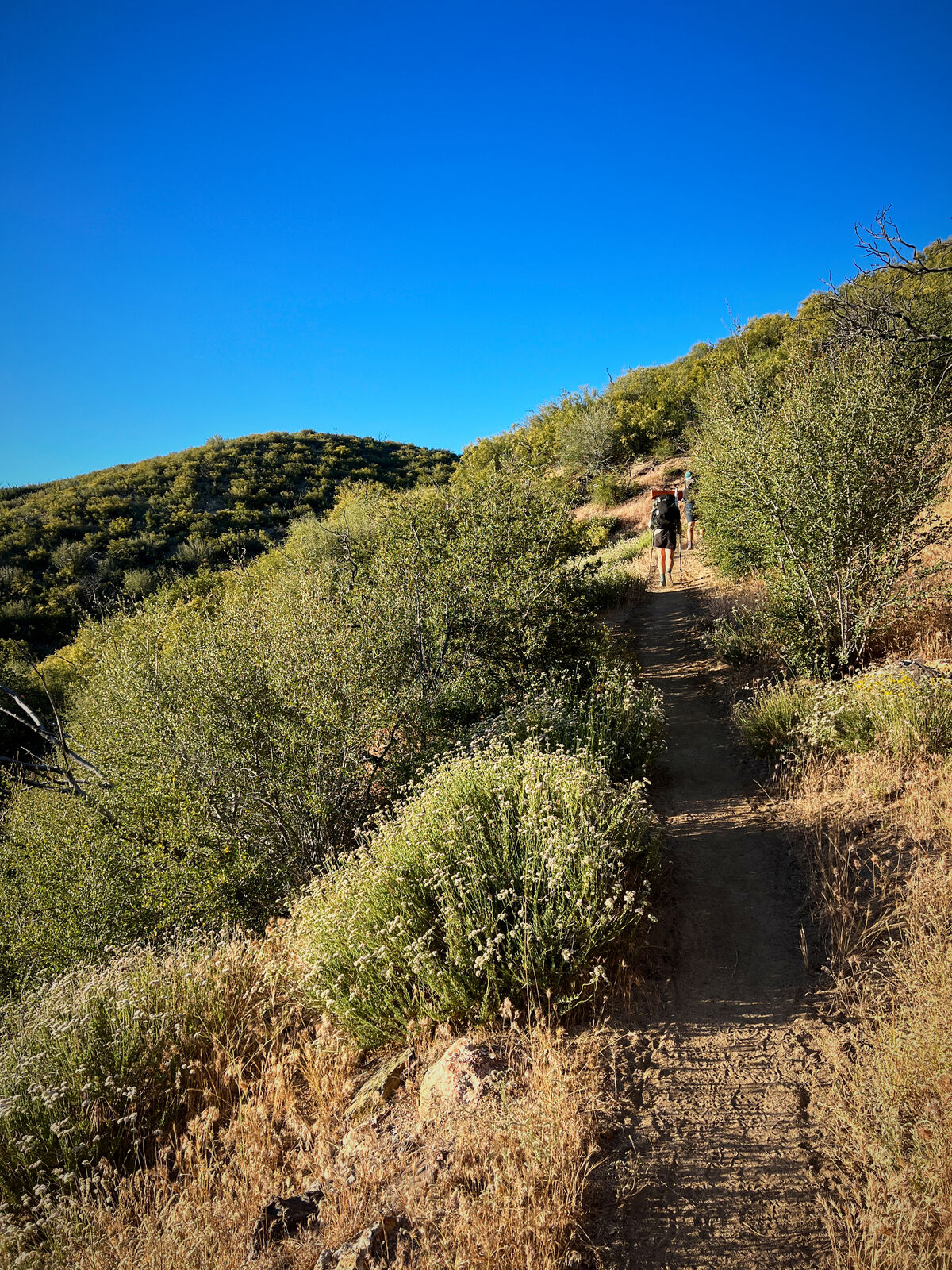
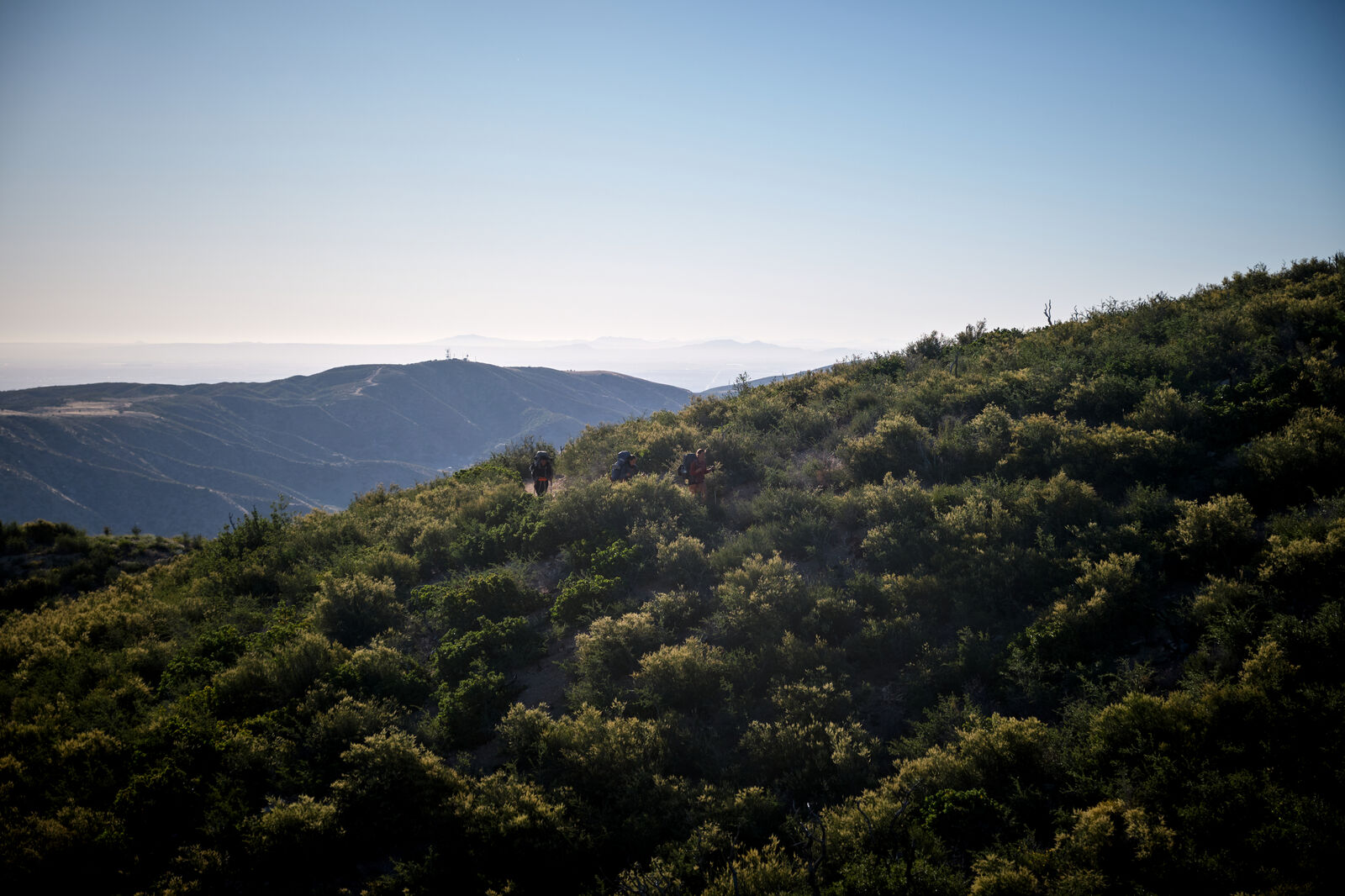
The next two days led us through some of the windiest parts of the trail, constantly fighting to stand up straight. I had also developed some painful blisters and the final descent into the road where I’d hitch into Tehachapi found me slowed to a gentle crawl. Eventually, somehow, I made it to the road crossing and limped into the town of Tehachapi.